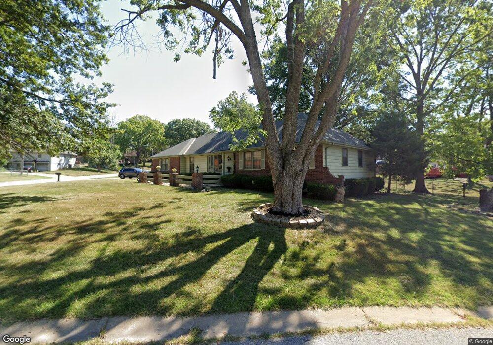
9533 Maywood Ave Kansas City, MO 64134
Highview Estates NeighborhoodEstimated Value: $244,938 - $283,000
3
Beds
2
Baths
1,492
Sq Ft
$179/Sq Ft
Est. Value
About This Home
This home is located at 9533 Maywood Ave, Kansas City, MO 64134 and is currently estimated at $266,735, approximately $178 per square foot. 9533 Maywood Ave is a home located in Jackson County with nearby schools including Truman Elementary School, St Regis School, and Islamic School of Greater Kansas City.
Ownership History
Date
Name
Owned For
Owner Type
Purchase Details
Closed on
Jun 13, 1997
Sold by
Crawford Paul W and Crawford Josephine T
Bought by
Webb Augustus T
Current Estimated Value
Home Financials for this Owner
Home Financials are based on the most recent Mortgage that was taken out on this home.
Original Mortgage
$106,340
Outstanding Balance
$14,540
Interest Rate
7.98%
Mortgage Type
FHA
Estimated Equity
$252,195
Create a Home Valuation Report for This Property
The Home Valuation Report is an in-depth analysis detailing your home's value as well as a comparison with similar homes in the area
Home Values in the Area
Average Home Value in this Area
Purchase History
| Date | Buyer | Sale Price | Title Company |
|---|---|---|---|
| Webb Augustus T | -- | Chicago Title Insurance Co |
Source: Public Records
Mortgage History
| Date | Status | Borrower | Loan Amount |
|---|---|---|---|
| Open | Webb Augustus T | $106,340 |
Source: Public Records
Tax History Compared to Growth
Tax History
| Year | Tax Paid | Tax Assessment Tax Assessment Total Assessment is a certain percentage of the fair market value that is determined by local assessors to be the total taxable value of land and additions on the property. | Land | Improvement |
|---|---|---|---|---|
| 2025 | $2,925 | $37,491 | $6,337 | $31,154 |
| 2024 | $2,925 | $33,788 | $3,534 | $30,254 |
| 2023 | $2,872 | $33,788 | $6,268 | $27,520 |
| 2022 | $3,048 | $30,780 | $6,308 | $24,472 |
| 2021 | $2,629 | $30,780 | $6,308 | $24,472 |
| 2020 | $2,535 | $28,052 | $6,308 | $21,744 |
| 2019 | $2,397 | $28,052 | $6,308 | $21,744 |
| 2018 | $2,104 | $22,993 | $3,396 | $19,597 |
| 2017 | $2,104 | $22,993 | $3,396 | $19,597 |
| 2016 | $2,134 | $22,640 | $4,577 | $18,063 |
| 2014 | $2,069 | $22,196 | $4,487 | $17,709 |
Source: Public Records
Map
Nearby Homes
- 10321 E 95th Terrace
- 10500 E Bannister Rd
- 9420 Ralston Ave
- 10907 E 98th Terrace
- 9721 Elm Ave
- 9425 E 90th Terrace
- 9525 Manning Ave
- 9033 E 90th Terrace
- 9109 E 89th St
- 9006 Tennessee Ave
- 8618 Arlington Ave
- 9414 Lewis Ave
- 8925 E 89th St
- 8512 Maywood Ave
- 10401 View High Dr
- 8916 E 89th Terrace
- 9319 E 105th St
- 8700 E Bannister Terrace
- 9201 E 87th St
- 8641 E 97th Terrace
- 9528 Maywood Ave
- 9530 Maywood Ave
- 10200 E 96th St
- 10208 E 96th St
- 9525 Maywood Ave
- 10215 E 95th Terrace
- 9540 Maywood Ave
- 9520 Ash Ave
- 9524 Maywood Ave
- 9520 Maywood Ave
- 10216 E 96th St
- 10301 E 95th Terrace
- 9519 Maywood Ave
- 9514 Ash Ave
- 10201 E 96th St
- 9516 Maywood Ave
- 10300 E 95th Terrace
- 10215 E 96th St
- 10300 E 96th St
- 10305 E 95th Terrace