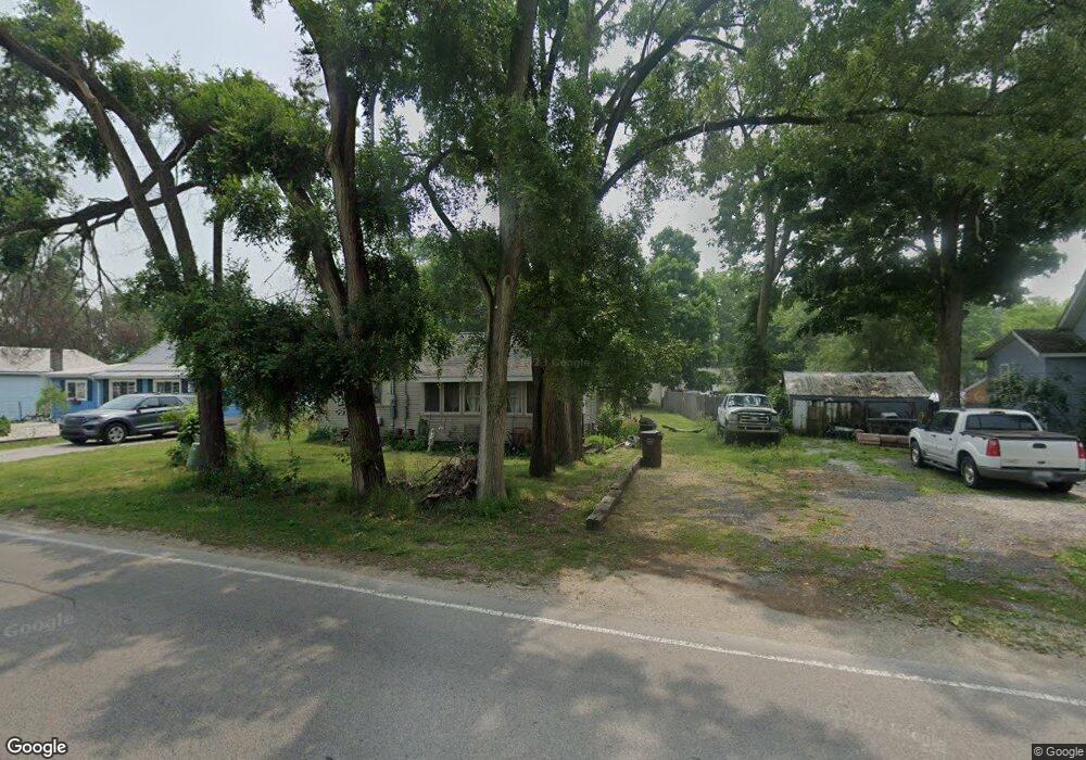
9537 W Weston Rd Unit BLK Morenci, MI 49256
Estimated Value: $61,000 - $69,000
1
Bed
1
Bath
592
Sq Ft
$112/Sq Ft
Est. Value
About This Home
This home is located at 9537 W Weston Rd Unit BLK, Morenci, MI 49256 and is currently estimated at $66,024, approximately $111 per square foot. 9537 W Weston Rd Unit BLK is a home located in Lenawee County with nearby schools including Morenci Elementary School and Morenci Middle/High School.
Ownership History
Date
Name
Owned For
Owner Type
Purchase Details
Closed on
Dec 6, 2021
Sold by
Gayle M Vanhavel Ft
Bought by
Tn Time Holdings Llc
Current Estimated Value
Purchase Details
Closed on
Mar 9, 2020
Sold by
Strasser Ginger
Bought by
Creger Joel
Purchase Details
Closed on
Oct 25, 2011
Sold by
Long Mary
Bought by
Vanhavel John and Gayle M Van Havel Family Trust
Purchase Details
Closed on
Jul 10, 2010
Sold by
Vanhavel Joh
Bought by
Vanhavel John and Gayle M Van Havel Family Trust
Purchase Details
Closed on
Oct 1, 2004
Bought by
Creger Joel and Giner Strasser
Create a Home Valuation Report for This Property
The Home Valuation Report is an in-depth analysis detailing your home's value as well as a comparison with similar homes in the area
Home Values in the Area
Average Home Value in this Area
Purchase History
| Date | Buyer | Sale Price | Title Company |
|---|---|---|---|
| Tn Time Holdings Llc | -- | None Available | |
| Creger Joel | $63,000 | None Available | |
| Vanhavel John | -- | None Available | |
| Vanhavel John | -- | None Available | |
| Creger Joel | $66,000 | -- |
Source: Public Records
Tax History Compared to Growth
Tax History
| Year | Tax Paid | Tax Assessment Tax Assessment Total Assessment is a certain percentage of the fair market value that is determined by local assessors to be the total taxable value of land and additions on the property. | Land | Improvement |
|---|---|---|---|---|
| 2025 | $668 | $24,800 | $0 | $0 |
| 2024 | $204 | $24,500 | $0 | $0 |
| 2023 | $623 | $23,000 | $0 | $0 |
| 2022 | $592 | $20,400 | $0 | $0 |
| 2021 | $592 | $17,800 | $0 | $0 |
| 2020 | $596 | $16,600 | $0 | $0 |
| 2019 | $45,618 | $14,800 | $0 | $0 |
| 2018 | $563 | $14,810 | $0 | $0 |
| 2017 | $546 | $14,362 | $0 | $0 |
| 2016 | $598 | $16,972 | $0 | $0 |
| 2014 | -- | $15,508 | $0 | $0 |
Source: Public Records
Map
Nearby Homes
- 328 E Main St
- 511 E Main St
- 507 Page St
- 402 Pearl St
- 13890 Rice Hwy
- 205 E Chestnut St
- 141 E Main St
- 136 E Chestnut St
- 128 E Lagrange St
- 403 N Summit St
- 221 N Summit St
- 114 W Walnut St
- 210 W Locust St
- 7540 W Weston Rd
- 10554 Hickory St
- 15383 County Road 19
- 16099 Us Highway 20
- 14640 County Road K
- 8288 Packard Rd
- 8058 Packard Rd
- 9523 W Weston Rd
- 9523 W Weston Rd Unit WESTON
- 9559 W Weston Rd
- 9564 W Weston Rd
- 9491 W Weston Rd
- 9613 W Weston Rd
- 9279 W Weston Rd
- 9481 W Weston Rd
- 9470 W Weston Rd
- 9463 W Weston Rd
- 9420 W Weston Rd
- 9389 W Weston Rd
- 9382 W Weston Rd
- 9355 W Weston Rd
- 9350 W Weston Rd
- 9393 W Yankee Rd
- 9324 W Weston Rd
- 9375 W Yankee Rd
- 0 W Weston Rd Unit 91649
- 0 W Weston Rd Unit WESTON