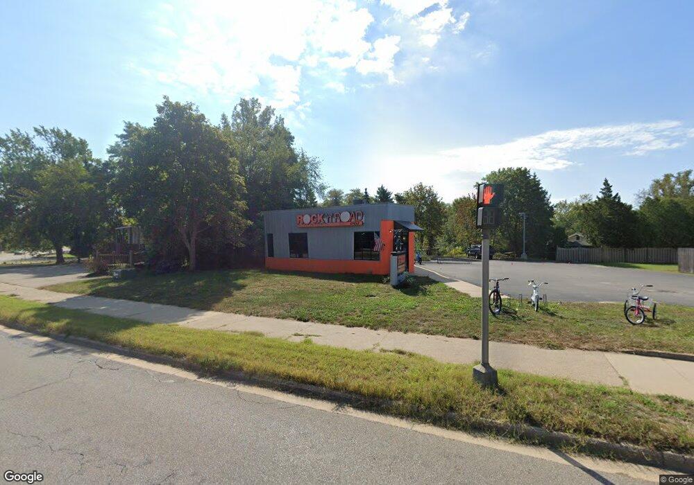
954 Butternut Dr Holland, MI 49424
Estimated Value: $1,198,419
--
Bed
1
Bath
3,236
Sq Ft
$370/Sq Ft
Est. Value
About This Home
This home is located at 954 Butternut Dr, Holland, MI 49424 and is currently estimated at $1,198,419, approximately $370 per square foot. 954 Butternut Dr is a home located in Ottawa County with nearby schools including Woodside Elementary School, Macatawa Bay Middle School, and West Ottawa High School.
Ownership History
Date
Name
Owned For
Owner Type
Purchase Details
Closed on
Aug 26, 2022
Sold by
Waring Meyer Lydia S
Bought by
Meyer Timothy Gene
Current Estimated Value
Purchase Details
Closed on
Oct 11, 2017
Sold by
Pearson International Llc
Bought by
M E Waring Meyer Llc
Purchase Details
Closed on
Oct 29, 2004
Sold by
Greentree Investments Group Llc
Bought by
Pearson International Llc
Home Financials for this Owner
Home Financials are based on the most recent Mortgage that was taken out on this home.
Original Mortgage
$336,000
Interest Rate
5.81%
Mortgage Type
Commercial
Create a Home Valuation Report for This Property
The Home Valuation Report is an in-depth analysis detailing your home's value as well as a comparison with similar homes in the area
Home Values in the Area
Average Home Value in this Area
Purchase History
| Date | Buyer | Sale Price | Title Company |
|---|---|---|---|
| Meyer Timothy Gene | -- | -- | |
| M E Waring Meyer Llc | -- | Lighthouse Title Inc | |
| Pearson International Llc | $460,000 | Macatawa Title Services |
Source: Public Records
Mortgage History
| Date | Status | Borrower | Loan Amount |
|---|---|---|---|
| Previous Owner | Pearson International Llc | $336,000 |
Source: Public Records
Tax History Compared to Growth
Tax History
| Year | Tax Paid | Tax Assessment Tax Assessment Total Assessment is a certain percentage of the fair market value that is determined by local assessors to be the total taxable value of land and additions on the property. | Land | Improvement |
|---|---|---|---|---|
| 2025 | $7,159 | $161,200 | $0 | $0 |
| 2024 | $6,049 | $161,000 | $0 | $0 |
| 2023 | $5,805 | $136,600 | $0 | $0 |
| 2022 | $6,846 | $135,200 | $0 | $0 |
| 2021 | $6,754 | $133,100 | $0 | $0 |
| 2020 | $6,706 | $132,900 | $0 | $0 |
| 2019 | $6,742 | $115,200 | $0 | $0 |
| 2018 | $7,381 | $154,600 | $39,400 | $115,200 |
| 2017 | $6,255 | $144,800 | $0 | $0 |
| 2016 | $6,213 | $135,700 | $0 | $0 |
| 2015 | $6,003 | $131,400 | $0 | $0 |
| 2014 | $6,003 | $127,300 | $0 | $0 |
Source: Public Records
Map
Nearby Homes
- 961 Shadybrook Dr
- 785 Mary Ave
- 14159 Pheasant Run
- 790 Mayfield Ave
- 888 S Kingwood Ct
- 14710 Riley St
- 14145 Carol St
- 14298 Carol St
- 2918 Foxboro Ln
- 3150 Joshua Ct
- 257 Mae Rose Ave
- 14801 Sagebrush Dr
- 286 Felch St
- 2978 Creek Edge Ct
- Remington Plan at Timberline
- Enclave Plan at Timberline
- Cascade Plan at Timberline
- Carson Plan at Timberline
- Sycamore-2089 Plan at Timberline - Woodland Series
- Sycamore-2531 Plan at Timberline - Woodland Series
- 950 Shadybrook Dr
- 960 Butternut Dr Unit B
- 960 Butternut Dr
- 932 Butternut Dr
- 930 Shadybrook Dr
- 934 Shadybrook Dr
- 951 Shadybrook Dr
- 941 Shadybrook Dr
- 920 Shadybrook Dr
- 931 Shadybrook Dr
- 620 Riley St
- 921 Shadybrook Dr
- 0 142nd Ave
- 8762 142nd Ave
- 971 Butternut Dr Unit C
- 971 Butternut Dr
- 911 Shadybrook Dr
- 904 Butternut Dr
- 526 Riley St
- 910 Shadybrook Dr
