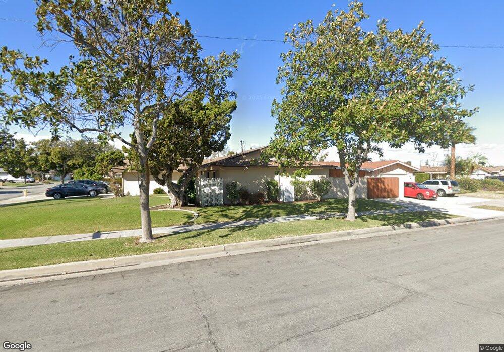
954 S Ambridge St Anaheim, CA 92806
Southeast Anaheim NeighborhoodEstimated Value: $933,000 - $961,000
3
Beds
2
Baths
1,539
Sq Ft
$612/Sq Ft
Est. Value
About This Home
This home is located at 954 S Ambridge St, Anaheim, CA 92806 and is currently estimated at $941,744, approximately $611 per square foot. 954 S Ambridge St is a home located in Orange County with nearby schools including Benito Juarez Elementary School, South Junior High School, and Katella High School.
Ownership History
Date
Name
Owned For
Owner Type
Purchase Details
Closed on
May 4, 2008
Sold by
Armstrong Dennis M
Bought by
Armstrong Dennis M and Armstrong Jelly T
Current Estimated Value
Home Financials for this Owner
Home Financials are based on the most recent Mortgage that was taken out on this home.
Original Mortgage
$100,000
Interest Rate
5.8%
Mortgage Type
Credit Line Revolving
Create a Home Valuation Report for This Property
The Home Valuation Report is an in-depth analysis detailing your home's value as well as a comparison with similar homes in the area
Home Values in the Area
Average Home Value in this Area
Purchase History
| Date | Buyer | Sale Price | Title Company |
|---|---|---|---|
| Armstrong Dennis M | -- | First American |
Source: Public Records
Mortgage History
| Date | Status | Borrower | Loan Amount |
|---|---|---|---|
| Closed | Armstrong Dennis M | $100,000 |
Source: Public Records
Tax History Compared to Growth
Tax History
| Year | Tax Paid | Tax Assessment Tax Assessment Total Assessment is a certain percentage of the fair market value that is determined by local assessors to be the total taxable value of land and additions on the property. | Land | Improvement |
|---|---|---|---|---|
| 2025 | $3,919 | $334,583 | $220,848 | $113,735 |
| 2024 | $3,919 | $328,023 | $216,518 | $111,505 |
| 2023 | $3,834 | $321,592 | $212,273 | $109,319 |
| 2022 | $3,782 | $315,287 | $208,111 | $107,176 |
| 2021 | $3,786 | $309,105 | $204,030 | $105,075 |
| 2020 | $3,768 | $305,936 | $201,938 | $103,998 |
| 2019 | $3,658 | $299,938 | $197,979 | $101,959 |
| 2018 | $3,582 | $294,057 | $194,097 | $99,960 |
| 2017 | $3,442 | $288,292 | $190,292 | $98,000 |
| 2016 | $3,430 | $282,640 | $186,561 | $96,079 |
| 2015 | $3,398 | $278,395 | $183,759 | $94,636 |
| 2014 | $3,191 | $272,942 | $180,159 | $92,783 |
Source: Public Records
Map
Nearby Homes
- 2505 E Lizbeth Ave
- 2641 E Paladin Ave
- 2011 E Norman Place
- 700 S Plymouth Place
- 824 S Dune St
- 2810 E Burntwood Ave
- 884 S Lime St
- 1425 E Vermont Ave
- 1615 E South St
- 1442 E Bell Ave Unit 119P
- 2443 E Westport Cir
- 516 S State College Blvd
- 2227 E Westport Dr
- 982 S Sarah Way
- 554 S Elder St
- 1400 S Sunkist St Unit 173
- 1400 S Sunkist St Unit 12
- 1400 S Sunkist St Unit 82
- 1400 S Sunkist St Unit 214
- 1400 S Sunkist St Unit 170
- 948 S Ambridge St
- 2419 E Lizbeth Ave
- 942 S Ambridge St
- 2410 E Lizbeth Ave
- 2425 E Lizbeth Ave
- 955 S Ambridge St
- 951 S Ambridge St
- 961 S Ambridge St
- 2422 E Lizbeth Ave
- 2418 E Oshkosh Ave
- 945 S Ambridge St
- 936 S Ambridge St
- 2431 E Lizbeth Ave
- 967 S Ambridge St
- 2424 E Oshkosh Ave
- 2428 E Lizbeth Ave
- 939 S Ambridge St
- 954 S Peregrine Place
- 948 S Peregrine Place
- 960 S Peregrine Place