Estimated Value: $633,186 - $699,000
3
Beds
2
Baths
2,116
Sq Ft
$315/Sq Ft
Est. Value
About This Home
This home is located at 9546 10th St SE, Eyota, MN 55934 and is currently estimated at $666,093, approximately $314 per square foot. 9546 10th St SE is a home located in Olmsted County with nearby schools including Dover-Eyota Elementary School, Dover-Eyota Middle School, and Dover-Eyota High School.
Ownership History
Date
Name
Owned For
Owner Type
Purchase Details
Closed on
Jan 18, 2021
Sold by
Dickie Ronald M and Vevang Dickie Margaret
Bought by
Bartelt Aleesha and Bartelt Jason
Current Estimated Value
Home Financials for this Owner
Home Financials are based on the most recent Mortgage that was taken out on this home.
Original Mortgage
$425,300
Outstanding Balance
$310,965
Interest Rate
2.71%
Mortgage Type
Purchase Money Mortgage
Estimated Equity
$355,128
Purchase Details
Closed on
Jan 4, 2016
Sold by
Dickie Ronald Ronald
Bought by
Bartelt Jason Jason
Purchase Details
Closed on
May 26, 2009
Sold by
Dickie Ronald M and Vevang Dickie Margaret L
Bought by
Dickie Ronald M and Vevang Dickie Margaret L
Create a Home Valuation Report for This Property
The Home Valuation Report is an in-depth analysis detailing your home's value as well as a comparison with similar homes in the area
Purchase History
| Date | Buyer | Sale Price | Title Company |
|---|---|---|---|
| Bartelt Aleesha | $500,000 | None Available | |
| Bartelt Jason Jason | $500,000 | -- | |
| Dickie Ronald M | -- | None Available |
Source: Public Records
Mortgage History
| Date | Status | Borrower | Loan Amount |
|---|---|---|---|
| Open | Bartelt Aleesha | $425,300 |
Source: Public Records
Tax History
| Year | Tax Paid | Tax Assessment Tax Assessment Total Assessment is a certain percentage of the fair market value that is determined by local assessors to be the total taxable value of land and additions on the property. | Land | Improvement |
|---|---|---|---|---|
| 2024 | $2,890 | $158,700 | $142,800 | $15,900 |
| 2023 | $2,710 | $154,200 | $138,300 | $15,900 |
| 2022 | $2,417 | $142,900 | $127,000 | $15,900 |
| 2021 | $2,052 | $113,500 | $97,600 | $15,900 |
| 2020 | $2,279 | $113,500 | $97,600 | $15,900 |
| 2019 | $3,351 | $113,500 | $97,600 | $15,900 |
| 2018 | $1,854 | $113,500 | $97,600 | $15,900 |
| 2017 | $1,810 | $113,500 | $97,600 | $15,900 |
| 2016 | $1,586 | $101,400 | $85,500 | $15,900 |
| 2015 | $1,452 | $101,300 | $85,400 | $15,900 |
| 2014 | $1,278 | $193,600 | $177,700 | $15,900 |
| 2012 | -- | $178,900 | $162,900 | $16,000 |
Source: Public Records
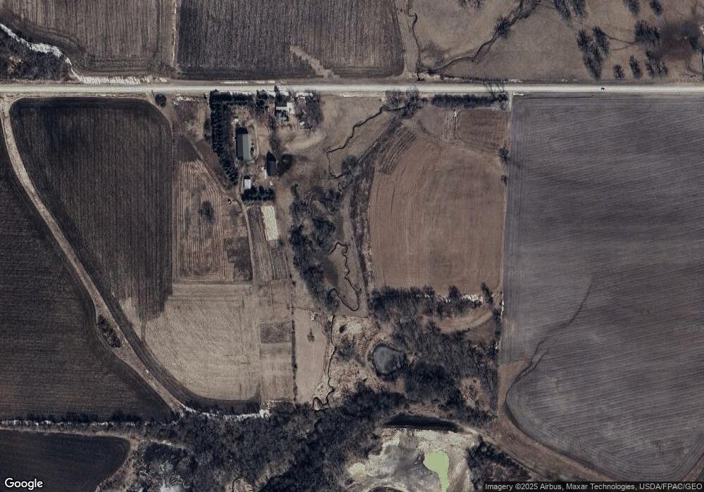
Map
Nearby Homes
- 315 Sandstone Dr NW
- 158 Sandstone Dr NW
- 214 Pries St NW
- 204 Pries St NW
- 200 Pries St NW
- 206 Pries St NW
- 202 Pries St NW
- 216 Pries St NW
- 210 Pries St NW
- 212 Pries St NW
- 917 Chester Ave SE
- 1017 Chester Ave SE
- 744 Jefferson Ave SW
- 12510 County Road 9
- 1046 Bush Ct SW
- 308 Spring Day Ct NE
- 353 Spring Day Ct NE
- 5955 Meadow Dr SE
- 1477 Laurel Ct SE
- 9300-9670 54 St SE
- 907 100th Ave SE
- 1021 100th Ave SE
- L9B2 Sandstone Dr NW
- L8B2 Sandstone Dr NW
- L7B2 Sandstone Dr NW
- L6B2 Sandstone Dr NW
- L5B2 Sandstone Dr NW
- L4B2 Sandstone Dr NW
- L3B2 Sandstone Dr NW
- L2B2 Sandstone Dr NW
- L1B2 Sandstone Dr NW
- L18B2 Sandstone Dr NW
- L16B2 Sandstone Dr NW
- L15B2 Sandstone Dr NW
- L14B2 Sandstone Dr NW
- L13B2 Sandstone Dr NW
- L12B2 Sandstone Dr NW
- L11B2 Sandstone Dr NW
- L10B2 Sandstone Dr NW
- L17B2 Sandstone Dr NW
Your Personal Tour Guide
Ask me questions while you tour the home.