955 Abrams Rd Eustis, FL 32726
Estimated Value: $696,000 - $1,835,976
4
Beds
4
Baths
5,121
Sq Ft
$216/Sq Ft
Est. Value
About This Home
This home is located at 955 Abrams Rd, Eustis, FL 32726 and is currently estimated at $1,103,744, approximately $215 per square foot. 955 Abrams Rd is a home with nearby schools including Triangle Elementary School, Eustis Middle School, and Eustis High School.
Ownership History
Date
Name
Owned For
Owner Type
Purchase Details
Closed on
Feb 28, 2019
Sold by
Patten Russell S
Bought by
Purdon Robert L and Purdon Andrea C
Current Estimated Value
Home Financials for this Owner
Home Financials are based on the most recent Mortgage that was taken out on this home.
Original Mortgage
$350,000
Interest Rate
4.4%
Mortgage Type
Balloon
Purchase Details
Closed on
Jan 31, 2018
Sold by
Patten Russell S
Bought by
Patten Russell S
Purchase Details
Closed on
Feb 23, 2001
Sold by
Lewis Bobbye Lou
Bought by
Patten Russell S and Patten Phyllis C
Create a Home Valuation Report for This Property
The Home Valuation Report is an in-depth analysis detailing your home's value as well as a comparison with similar homes in the area
Home Values in the Area
Average Home Value in this Area
Purchase History
| Date | Buyer | Sale Price | Title Company |
|---|---|---|---|
| Purdon Robert L | $450,000 | Attorney | |
| Patten Russell S | -- | Attorney | |
| Patten Russell S | $125,000 | -- | |
| Patten Russell S | $125,000 | -- |
Source: Public Records
Mortgage History
| Date | Status | Borrower | Loan Amount |
|---|---|---|---|
| Closed | Purdon Robert L | $350,000 |
Source: Public Records
Tax History
| Year | Tax Paid | Tax Assessment Tax Assessment Total Assessment is a certain percentage of the fair market value that is determined by local assessors to be the total taxable value of land and additions on the property. | Land | Improvement |
|---|---|---|---|---|
| 2026 | $12,978 | $1,023,720 | -- | -- |
| 2025 | $5,889 | $967,130 | -- | -- |
| 2024 | $5,889 | $967,130 | -- | -- |
| 2023 | $5,889 | $396,090 | $396,090 | $0 |
| 2022 | $5,891 | $396,090 | $396,090 | $0 |
| 2021 | $5,295 | $385,088 | $0 | $0 |
| 2020 | $5,732 | $385,088 | $0 | $0 |
| 2019 | $5,503 | $385,088 | $0 | $0 |
| 2018 | $1,827 | $120,000 | $0 | $0 |
| 2017 | $1,830 | $120,000 | $0 | $0 |
| 2016 | $1,814 | $120,000 | $0 | $0 |
| 2015 | $1,878 | $120,000 | $0 | $0 |
| 2014 | $1,895 | $120,000 | $0 | $0 |
Source: Public Records
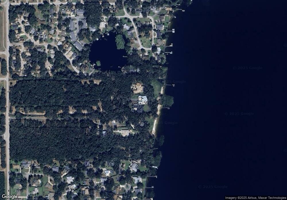
Map
Nearby Homes
- 2825 Hardenbergh Ln
- 2723 Beacon St
- 3101 Northwind Dr
- 2663 Winchester Cir
- 881 Vanderbilt Dr
- 2740 E Dellwood Dr
- 501 Cherry Tree St
- 1095 Club Hills Dr
- 73 Abrams Rd
- 2803 Joleen Dr
- 0 State Road 44 Unit MFRL4950491
- 888 Marietta Ln
- 114 Fruitwood Ave
- 0 Gables Dr Unit MFRO6380272
- 109 Fruitwood Ave
- 2225 Sandridge Cir
- 831 Marietta Ln
- 2736 Summerglen Ln
- 201 W Blue Water Edge Dr
- 2007 Country Club Dr
- 3180 Parker Dr
- 2857 Hardenbergh Ln
- 2865 Hardenbergh Ln
- 2849 Hardenbergh Ln
- 2841 Hardenbergh Ln
- 2833 Hardenbergh Ln
- 709 Harvard Ct
- 711 Harvard Ct
- 707 Harvard Ct
- 3190 Parker Dr
- 3200 Parker Dr
- 3011 Hardenbergh Ln
- 2817 Hardenbergh Ln
- 705 Harvard Ct
- 626 Park St
- 901 Abrams Rd
- 710 Harvard Ct
- 624 Park St
- 3015 Hardenbergh Ln
Your Personal Tour Guide
Ask me questions while you tour the home.