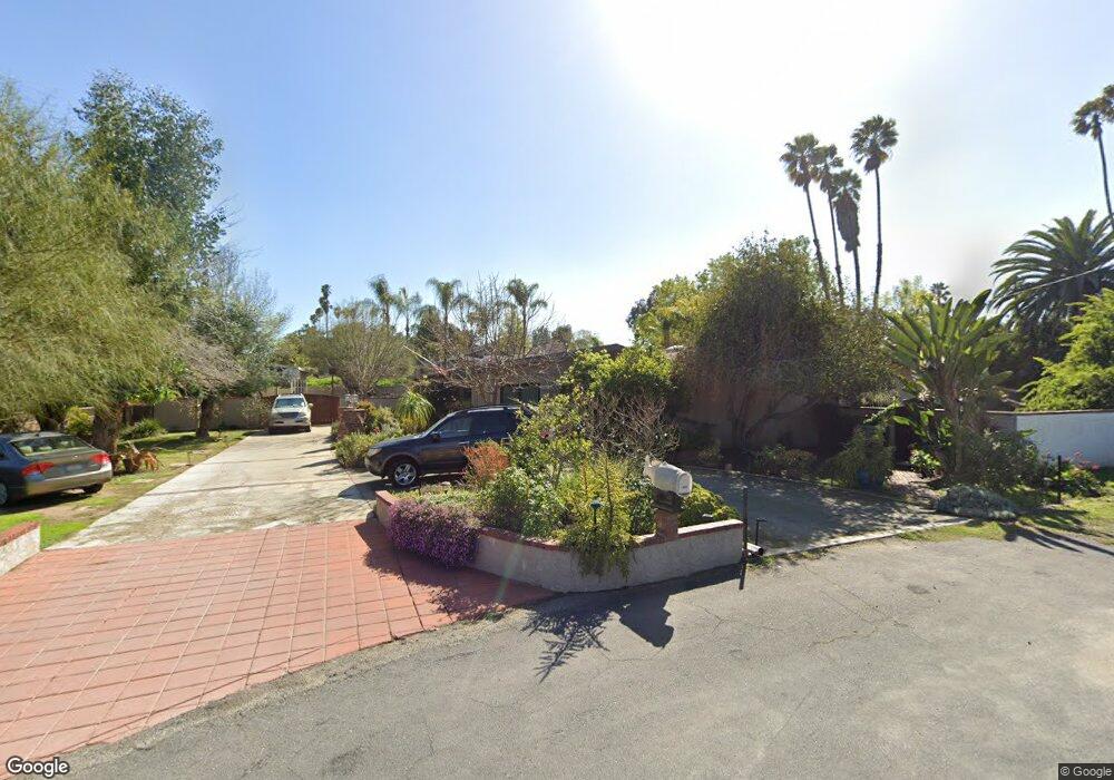
955 Berkshire Ct Escondido, CA 92025
Kit Carson NeighborhoodEstimated Value: $1,089,000 - $1,190,554
6
Beds
3
Baths
2,933
Sq Ft
$385/Sq Ft
Est. Value
About This Home
This home is located at 955 Berkshire Ct, Escondido, CA 92025 and is currently estimated at $1,128,889, approximately $384 per square foot. 955 Berkshire Ct is a home located in San Diego County with nearby schools including Miller Elementary School, Del Dios Academy of Arts & Sciences, and San Pasqual High School.
Ownership History
Date
Name
Owned For
Owner Type
Purchase Details
Closed on
Oct 13, 2015
Sold by
Lejins Ojars and Lejins Deborah
Bought by
The Lejins Marston Trust and Marston Lejins Deborah
Current Estimated Value
Purchase Details
Closed on
Jan 6, 1998
Sold by
Aames Capital Corp
Bought by
Lejins Ojars and Lejins Deborah
Purchase Details
Closed on
Nov 13, 1997
Sold by
Ornela Anthony M
Bought by
Aames Capital Corp
Purchase Details
Closed on
May 7, 1984
Purchase Details
Closed on
Jun 16, 1983
Create a Home Valuation Report for This Property
The Home Valuation Report is an in-depth analysis detailing your home's value as well as a comparison with similar homes in the area
Home Values in the Area
Average Home Value in this Area
Purchase History
| Date | Buyer | Sale Price | Title Company |
|---|---|---|---|
| The Lejins Marston Trust | -- | None Available | |
| Lejins Ojars | $207,500 | Chicago Title Co | |
| Aames Capital Corp | $284,665 | Orange Coast Title Co | |
| -- | $152,000 | -- | |
| -- | $143,800 | -- |
Source: Public Records
Tax History Compared to Growth
Tax History
| Year | Tax Paid | Tax Assessment Tax Assessment Total Assessment is a certain percentage of the fair market value that is determined by local assessors to be the total taxable value of land and additions on the property. | Land | Improvement |
|---|---|---|---|---|
| 2025 | $3,648 | $330,659 | $103,774 | $226,885 |
| 2024 | $3,648 | $324,177 | $101,740 | $222,437 |
| 2023 | $3,564 | $317,822 | $99,746 | $218,076 |
| 2022 | $3,524 | $311,591 | $97,791 | $213,800 |
| 2021 | $3,466 | $305,482 | $95,874 | $209,608 |
| 2020 | $3,445 | $302,350 | $94,891 | $207,459 |
| 2019 | $3,361 | $296,423 | $93,031 | $203,392 |
| 2018 | $3,267 | $290,611 | $91,207 | $199,404 |
| 2017 | $40 | $284,914 | $89,419 | $195,495 |
| 2016 | $3,149 | $279,328 | $87,666 | $191,662 |
| 2015 | $3,122 | $275,134 | $86,350 | $188,784 |
| 2014 | $2,991 | $269,745 | $84,659 | $185,086 |
Source: Public Records
Map
Nearby Homes
- 1531 Russell Place
- 832 Casa de Oro Place
- 711 Danica Place
- 1001 Ontario St
- 2217 Charise St
- 2345 Miller Ave
- 1369 W 11th Ave
- 2328 Columba Glen
- 450 W Vermont Ave Unit 104
- 450 W Vermont Ave Unit 1602
- 450 W Vermont Ave Unit 805
- 449 Atlas Glen
- 414 Carina Glen
- 408 Carina Glen
- 2310 Stardust Glen
- 440 Citracado Pkwy Unit 14
- 440 Citracado Pkwy Unit 30
- 440 W Citracado Pkwy Unit 16
- 1620 Amanda Ln
- 1640 Amanda Ln
- 1975 Felicita Rd
- 1946 Rohn Rd
- 1966 Rohn Rd
- 1973 Felicita Rd
- 933 Berkshire Ct
- 950 Berkshire Ct
- 1970 Rohn Rd
- 1926 Rohn Rd
- 938 Berkshire Ct
- 1998 Rohn Rd Unit 1
- 1998 Rohn Rd
- 2001 Felicita Rd
- 1971 Felicita Rd
- 923 Berkshire Ct
- 1974 Rohn Rd
- 1983 Felicita Rd
- 928 Berkshire Ct
- 1916 Rohn Rd
- 1945 Rohn Rd
- 1955 Rohn Rd