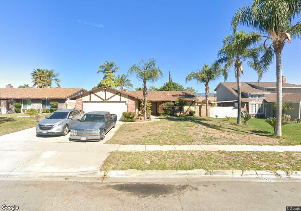
955 Rose St Colton, CA 92324
Estimated Value: $429,000 - $490,000
3
Beds
2
Baths
1,128
Sq Ft
$419/Sq Ft
Est. Value
About This Home
This home is located at 955 Rose St, Colton, CA 92324 and is currently estimated at $472,235, approximately $418 per square foot. 955 Rose St is a home located in San Bernardino County with nearby schools including Paul Rogers Elementary School, Colton Middle School, and Colton High School.
Ownership History
Date
Name
Owned For
Owner Type
Purchase Details
Closed on
Nov 22, 2004
Sold by
Garcia Leroy R and Garcia Rosemarie P
Bought by
Barajas Irma
Current Estimated Value
Home Financials for this Owner
Home Financials are based on the most recent Mortgage that was taken out on this home.
Original Mortgage
$209,600
Outstanding Balance
$110,054
Interest Rate
6.57%
Mortgage Type
Purchase Money Mortgage
Estimated Equity
$362,181
Create a Home Valuation Report for This Property
The Home Valuation Report is an in-depth analysis detailing your home's value as well as a comparison with similar homes in the area
Home Values in the Area
Average Home Value in this Area
Purchase History
| Date | Buyer | Sale Price | Title Company |
|---|---|---|---|
| Barajas Irma | $262,000 | Stewart Title Company |
Source: Public Records
Mortgage History
| Date | Status | Borrower | Loan Amount |
|---|---|---|---|
| Open | Barajas Irma | $209,600 | |
| Closed | Barajas Irma | $52,400 |
Source: Public Records
Tax History
| Year | Tax Paid | Tax Assessment Tax Assessment Total Assessment is a certain percentage of the fair market value that is determined by local assessors to be the total taxable value of land and additions on the property. | Land | Improvement |
|---|---|---|---|---|
| 2025 | $4,528 | $365,207 | $91,302 | $273,905 |
| 2024 | $4,321 | $358,046 | $89,512 | $268,534 |
| 2023 | $4,331 | $351,026 | $87,757 | $263,269 |
| 2022 | $4,269 | $344,143 | $86,036 | $258,107 |
| 2021 | $4,353 | $337,395 | $84,349 | $253,046 |
| 2020 | $4,189 | $320,000 | $50,000 | $270,000 |
| 2019 | $4,026 | $310,000 | $93,000 | $217,000 |
| 2018 | $3,396 | $260,700 | $77,700 | $183,000 |
| 2017 | $3,231 | $251,900 | $75,100 | $176,800 |
| 2016 | $3,153 | $235,400 | $70,200 | $165,200 |
| 2015 | $2,871 | $218,000 | $65,000 | $153,000 |
| 2014 | $2,827 | $218,000 | $65,000 | $153,000 |
Source: Public Records
Map
Nearby Homes
- 1012 Long Beach Dr
- 2311 Volya Ct
- 1734 Kippy Dr
- 1844 Alston Ave
- 1261 N Rancho Ave
- 2250 W Mill St Unit 19
- 2250 W Mill St Unit 68
- 2250 W Mill #70 St
- 1065 Stevenson St Unit A & B
- 648 San Carlo Ave
- 1067 Stevenson St Unit A & B
- 895 Orange St
- 732 S Lassen Ave
- 1156 N Rancho Ave
- 494 S Macy St Unit 8
- 494 S Macy St Unit 116
- 494 S Macy St Unit 155
- 2686 W Mill St Unit 32
- 2686 W Mill St Unit 91
- 805 Valencia Dr
Your Personal Tour Guide
Ask me questions while you tour the home.