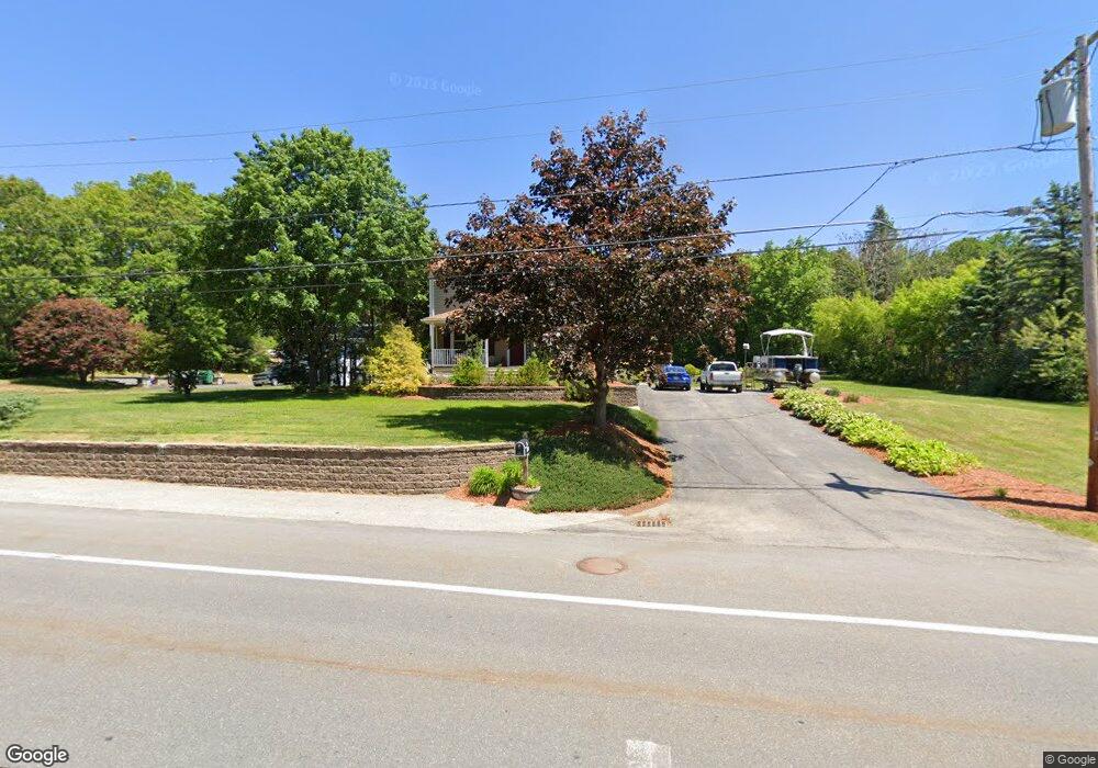
956 Millville Rd Uxbridge, MA 01569
Estimated Value: $405,000 - $473,000
4
Beds
1
Bath
1,500
Sq Ft
$291/Sq Ft
Est. Value
About This Home
This home is located at 956 Millville Rd, Uxbridge, MA 01569 and is currently estimated at $436,624, approximately $291 per square foot. 956 Millville Rd is a home located in Worcester County with nearby schools including Uxbridge High School and Our Lady of the Valley Regional School.
Ownership History
Date
Name
Owned For
Owner Type
Purchase Details
Closed on
Dec 7, 1989
Sold by
Griffiths Cyril
Bought by
Bedard Steven
Current Estimated Value
Create a Home Valuation Report for This Property
The Home Valuation Report is an in-depth analysis detailing your home's value as well as a comparison with similar homes in the area
Home Values in the Area
Average Home Value in this Area
Purchase History
| Date | Buyer | Sale Price | Title Company |
|---|---|---|---|
| Bedard Steven | $105,000 | -- |
Source: Public Records
Mortgage History
| Date | Status | Borrower | Loan Amount |
|---|---|---|---|
| Open | Bedard Steven | $235,000 | |
| Closed | Bedard Steven | $30,000 | |
| Closed | Bedard Steven | $15,000 |
Source: Public Records
Tax History Compared to Growth
Tax History
| Year | Tax Paid | Tax Assessment Tax Assessment Total Assessment is a certain percentage of the fair market value that is determined by local assessors to be the total taxable value of land and additions on the property. | Land | Improvement |
|---|---|---|---|---|
| 2025 | $4,443 | $338,900 | $146,800 | $192,100 |
| 2024 | $3,970 | $307,300 | $135,100 | $172,200 |
| 2023 | $3,953 | $283,400 | $122,100 | $161,300 |
| 2022 | $3,860 | $254,600 | $111,100 | $143,500 |
| 2021 | $3,953 | $249,900 | $106,400 | $143,500 |
| 2020 | $4,019 | $240,100 | $110,400 | $129,700 |
| 2019 | $3,928 | $226,400 | $102,500 | $123,900 |
| 2018 | $3,827 | $222,900 | $102,500 | $120,400 |
| 2017 | $3,589 | $211,600 | $97,000 | $114,600 |
| 2016 | $3,614 | $205,700 | $99,500 | $106,200 |
| 2015 | $3,544 | $203,700 | $99,500 | $104,200 |
Source: Public Records
Map
Nearby Homes
- 385 River Rd
- 119 Albee Rd
- 77 Chestnut Hill Rd
- 90 Chestnut Hill Rd
- 9 Balm of Life Spring Rd
- 57 Kempton Rd
- 18 Chestnut Hill Rd
- 23 Chesley St
- 24 Lincoln St
- 34 Lincoln St
- 16 Preston St
- 179 Thayer St
- 127 Old Millville Rd
- 133 Providence St Unit D
- 160 Thayer St
- 41 Thayer St
- 111 Cider Mill Rd
- 23 Rifleman Way
- 69 Adj Hill St
- 70 Hill St
- 950 Millville Rd
- 964 Millville Rd
- 944 Millville Rd
- 938 Millville Rd
- 947 Millville Rd
- 930 Millville Rd
- 970 Millville Rd
- 281 Albee Rd
- 937 Millville Rd
- 922 Millville Rd
- 986 Millville Rd
- 265 Albee Rd
- 275 Albee Rd
- 906 Millville Rd
- 285 Albee Rd
- 255 Albee Rd
- 280 Albee Rd
- 245 Albee Rd
- 398 River Rd
- 274 Albee Rd