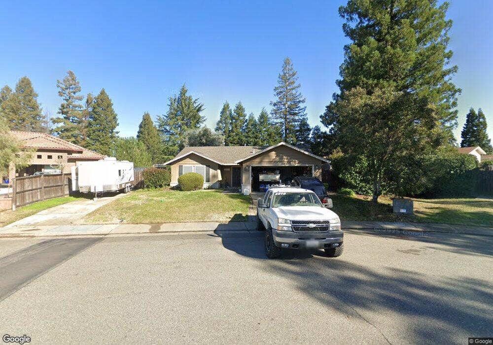
9560 Central Ave Folsom, CA 95630
Estimated Value: $550,602 - $642,000
3
Beds
2
Baths
1,230
Sq Ft
$492/Sq Ft
Est. Value
About This Home
This home is located at 9560 Central Ave, Folsom, CA 95630 and is currently estimated at $604,651, approximately $491 per square foot. 9560 Central Ave is a home located in Sacramento County with nearby schools including Ottomon Way Elementary School, Louis Pasteur Fundamental Middle School, and Casa Roble Fundamental High School.
Ownership History
Date
Name
Owned For
Owner Type
Purchase Details
Closed on
Mar 11, 2016
Sold by
Sarro John W and Sarro Sandra M
Bought by
Fretwell Jeff and Fretwell Heidi
Current Estimated Value
Home Financials for this Owner
Home Financials are based on the most recent Mortgage that was taken out on this home.
Original Mortgage
$353,479
Outstanding Balance
$281,806
Interest Rate
3.87%
Mortgage Type
FHA
Estimated Equity
$322,845
Purchase Details
Closed on
Dec 7, 2001
Sold by
Marinus Rene and Marinus Shauna
Bought by
Sarro John W and Sarro Sandra M
Home Financials for this Owner
Home Financials are based on the most recent Mortgage that was taken out on this home.
Original Mortgage
$175,000
Interest Rate
6.57%
Mortgage Type
Balloon
Create a Home Valuation Report for This Property
The Home Valuation Report is an in-depth analysis detailing your home's value as well as a comparison with similar homes in the area
Purchase History
| Date | Buyer | Sale Price | Title Company |
|---|---|---|---|
| Fretwell Jeff | $360,000 | Placer Title Company | |
| Sarro John W | $227,000 | Stewart Title |
Source: Public Records
Mortgage History
| Date | Status | Borrower | Loan Amount |
|---|---|---|---|
| Open | Fretwell Jeff | $353,479 | |
| Previous Owner | Sarro John W | $175,000 |
Source: Public Records
Tax History
| Year | Tax Paid | Tax Assessment Tax Assessment Total Assessment is a certain percentage of the fair market value that is determined by local assessors to be the total taxable value of land and additions on the property. | Land | Improvement |
|---|---|---|---|---|
| 2025 | $6,070 | $426,160 | $153,891 | $272,269 |
| 2024 | $6,070 | $417,805 | $150,874 | $266,931 |
| 2023 | $5,796 | $409,614 | $147,916 | $261,698 |
| 2022 | $4,859 | $401,583 | $145,016 | $256,567 |
| 2021 | $4,778 | $393,710 | $142,173 | $251,537 |
| 2020 | $4,689 | $389,674 | $140,716 | $248,958 |
| 2019 | $4,594 | $382,034 | $137,957 | $244,077 |
| 2018 | $4,541 | $374,544 | $135,252 | $239,292 |
| 2017 | $4,496 | $367,200 | $132,600 | $234,600 |
| 2016 | $3,324 | $283,267 | $81,108 | $202,159 |
| 2015 | $3,281 | $279,013 | $79,890 | $199,123 |
| 2014 | $3,216 | $273,549 | $78,326 | $195,223 |
Source: Public Records
Map
Nearby Homes
- 118 S Fork Way
- 116 Pheasant Ln
- 102 Spring Water Way
- 9431 Canyon Lake Ln
- 300 Water View Way
- 115 Canyon Rim Dr
- 224 Oak Canyon Way
- 6901 Main Ave
- 9666 Lake Natoma Dr
- 9340 Orangevale Ave Unit 38
- 6132 Main Ave Unit 28
- 7314 Santa Juanita Ave
- 621 Landrise Ct
- 9505 Tonkin Dr
- 119 Del Norte Vista Way
- 5725 Mangrove Ct
- 7400 Mountain Ave
- 5943 Main Ave Unit A
- 9757 Beachwood Dr
- 900 Figueroa St Unit B