9564 State Route 550 Vincent, OH 45784
Estimated Value: $162,000 - $329,607
3
Beds
3
Baths
1,680
Sq Ft
$141/Sq Ft
Est. Value
About This Home
This home is located at 9564 State Route 550, Vincent, OH 45784 and is currently estimated at $236,402, approximately $140 per square foot. 9564 State Route 550 is a home located in Washington County with nearby schools including Warren High School.
Ownership History
Date
Name
Owned For
Owner Type
Purchase Details
Closed on
Jan 28, 2021
Sold by
Fought Charlotte J
Bought by
Mccutcheon James R
Current Estimated Value
Purchase Details
Closed on
Aug 17, 2017
Sold by
Mccutcheon James R
Bought by
Mccutcheon James R and Fought Charlotte J
Purchase Details
Closed on
Jan 21, 2011
Sold by
Mccutcheon Carolyn S
Bought by
Mccutcheon James R
Purchase Details
Closed on
Sep 11, 2000
Bought by
Mccutcheon James R and Mccutcheon Ca
Purchase Details
Closed on
Oct 25, 1995
Bought by
Mccutcheon Carolyn S
Purchase Details
Closed on
Sep 23, 1994
Bought by
Mccutcheon James R and Mccutcheon Ca
Purchase Details
Closed on
Jun 3, 1992
Bought by
Poling Rex
Purchase Details
Closed on
Oct 7, 1987
Create a Home Valuation Report for This Property
The Home Valuation Report is an in-depth analysis detailing your home's value as well as a comparison with similar homes in the area
Home Values in the Area
Average Home Value in this Area
Purchase History
| Date | Buyer | Sale Price | Title Company |
|---|---|---|---|
| Mccutcheon James R | $101,400 | None Available | |
| Mccutcheon James R | $10,000 | None Listed On Document | |
| Mccutcheon James R | -- | Attorney | |
| Mccutcheon James R | -- | Attorney | |
| Mccutcheon James R | -- | -- | |
| Mccutcheon Carolyn S | -- | -- | |
| Mccutcheon James R | $12,000 | -- | |
| Poling Rex | $5,000 | -- | |
| -- | -- | -- |
Source: Public Records
Tax History Compared to Growth
Tax History
| Year | Tax Paid | Tax Assessment Tax Assessment Total Assessment is a certain percentage of the fair market value that is determined by local assessors to be the total taxable value of land and additions on the property. | Land | Improvement |
|---|---|---|---|---|
| 2024 | $2,616 | $77,090 | $11,920 | $65,170 |
| 2023 | $2,616 | $77,090 | $11,920 | $65,170 |
| 2022 | $2,625 | $77,090 | $11,920 | $65,170 |
| 2021 | $2,071 | $60,200 | $9,250 | $50,950 |
| 2020 | $2,420 | $60,200 | $9,250 | $50,950 |
| 2019 | $2,386 | $60,200 | $9,250 | $50,950 |
| 2018 | $2,278 | $55,790 | $7,400 | $48,390 |
| 2017 | $2,249 | $55,790 | $7,400 | $48,390 |
| 2016 | $2,840 | $55,790 | $7,400 | $48,390 |
| 2015 | $2,135 | $58,760 | $7,120 | $51,640 |
| 2014 | $3,024 | $58,760 | $7,120 | $51,640 |
| 2013 | $1,070 | $58,760 | $7,120 | $51,640 |
Source: Public Records
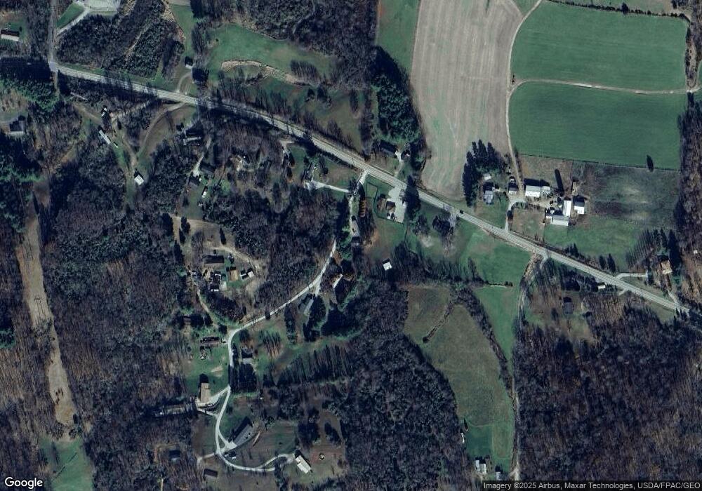
Map
Nearby Homes
- 0 Ohio 550
- 10270 Ohio 550
- 0 Layman Rd Unit 5162075
- 0 Layman Rd Unit 5162072
- 10507 Ohio 339
- 6570 State Route 339
- 545 Lewis Pointe Dr
- 1998 Reese Rd
- 735 Timberline Dr
- 135 Knob Dr
- 11584 State Route 339
- 120 Fleming Dr
- 265 James Ln
- 250 Northlake Dr
- 0 Brackenridge Rd Unit 23885979
- 0 Brackenridge Rd Unit 23885976
- 0 Fisher Ridge Rd
- 28 Mcgill Rd
- 2207 Veto Rd
- 0 Fisher Ridge Rd Tract 1
- 9560 Its Our Ln
- 9568 Its Our Ln
- 9572 State Route 550
- 9550 Its Our Ln
- 9574 State Route 550
- 476 Samples Rd
- 9420 State Route 550
- 9390 State Route 550
- 9510 Ohio 550
- 9576 State Route 550
- 9520 Ohio 550
- 9630 State Route 550
- 150 Samples Rd
- 9559 Ohio 550
- 9559 State Route 550
- 9395 State Route 550
- 9250 State Route 550
- 9742 State Route 550
- 9740 State Route 550
- 8998 State Route 550