957 C E Stewart Rd Clover, SC 29710
Estimated Value: $382,000 - $766,209
Studio
--
Bath
2,365
Sq Ft
$245/Sq Ft
Est. Value
About This Home
This home is located at 957 C E Stewart Rd, Clover, SC 29710 and is currently estimated at $580,552, approximately $245 per square foot. 957 C E Stewart Rd is a home with nearby schools including Bethany Elementary School, Clover Middle School, and Clover High School.
Ownership History
Date
Name
Owned For
Owner Type
Purchase Details
Closed on
Jun 3, 2020
Sold by
Hill Angela and Hill Jeffrey
Bought by
Hill Angela and Hill Jeffrey
Current Estimated Value
Home Financials for this Owner
Home Financials are based on the most recent Mortgage that was taken out on this home.
Original Mortgage
$221,400
Interest Rate
3.12%
Mortgage Type
Construction
Purchase Details
Closed on
Feb 14, 2020
Sold by
Cogdiil Wendell C and Cogdiil Tammy D
Bought by
Hill Jeffrey and Hill Angela
Create a Home Valuation Report for This Property
The Home Valuation Report is an in-depth analysis detailing your home's value as well as a comparison with similar homes in the area
Home Values in the Area
Average Home Value in this Area
Purchase History
| Date | Buyer | Sale Price | Title Company |
|---|---|---|---|
| Hill Angela | -- | None Available | |
| Hill Jeffrey | -- | None Available |
Source: Public Records
Mortgage History
| Date | Status | Borrower | Loan Amount |
|---|---|---|---|
| Previous Owner | Hill Angela | $221,400 |
Source: Public Records
Tax History
| Year | Tax Paid | Tax Assessment Tax Assessment Total Assessment is a certain percentage of the fair market value that is determined by local assessors to be the total taxable value of land and additions on the property. | Land | Improvement |
|---|---|---|---|---|
| 2025 | $1,896 | $15,075 | $10 | $15,065 |
| 2024 | $1,295 | $9,983 | $15 | $9,968 |
| 2023 | $1,192 | $8,934 | $227 | $8,707 |
| 2022 | $964 | $8,934 | $227 | $8,707 |
| 2021 | -- | $8,934 | $227 | $8,707 |
| 2020 | $949 | $8,938 | $0 | $0 |
| 2019 | $905 | $7,773 | $0 | $0 |
| 2018 | $170 | $11,653 | $0 | $0 |
| 2017 | $162 | $499 | $0 | $0 |
| 2016 | -- | $2,484 | $0 | $0 |
Source: Public Records
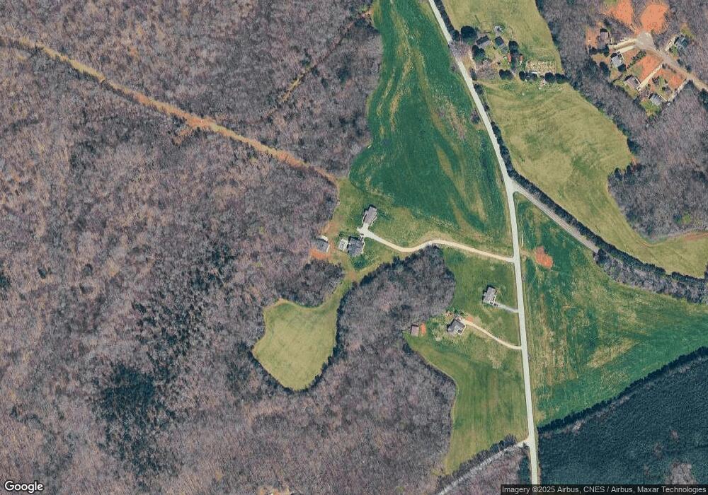
Map
Nearby Homes
- 1217 Woodpecker Dr
- 9080 Kings Dr
- 996 Split Trail Unit LotWP002
- 10+/-AC Ramah Church Rd Unit LOT D
- 10+/-AC Ramah Church Rd Unit LOT A
- 10+/-AC Ramah Church Rd Unit LOT C
- 13+/-AC Ramah Church Rd Unit LOT B
- Crossland Road Unit: 2
- 13546 State Highway 55
- 14+/-AC Canipe Rd Unit LOT E
- 00 Forest View Rd
- TBD Crossland Rd Unit 2
- 3625 Black Hwy
- 0 Ramah Church Rd Unit 25893369
- 12795 Highway 55 W
- 1895 Templeton Rd
- 1845 State Road S-46-149
- 2180 Lawrence Rd
- 1014 Willow Grove Ln
- 1059 Willow Grove Ln
- 945 C E Stewart Rd
- 971 C E Stewart Rd
- 955 C E Stewart Rd
- 1020 C E Stewart Rd
- 000 Turner Rd
- 00 Turner Rd
- 3310 Turner Rd
- 1052 C E Stewart Rd
- 1225 Woodpecker Dr
- 1229 Woodpecker Dr
- 898 C E Stewart Rd
- 1215 Woodpecker Dr
- 1226 Woodpecker Dr
- 1149 C E Stewart Rd
- 1209 Woodpecker Dr
- 1102 C E Stewart Rd
- 440 Double Eagle Trace
- 1218 Woodpecker Dr
- 1007 Field Swallow Way Unit 69
- 1007 Field Swallow Way
Your Personal Tour Guide
Ask me questions while you tour the home.