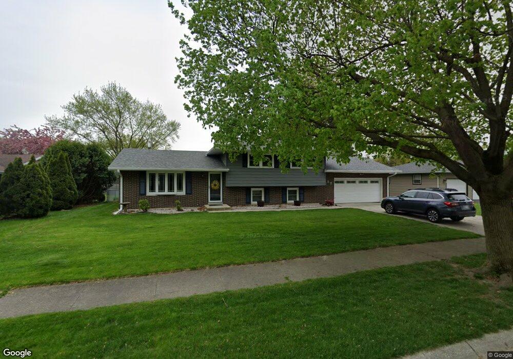
957 E South St Crown Point, IN 46307
Estimated Value: $294,567 - $328,000
3
Beds
2
Baths
1,946
Sq Ft
$160/Sq Ft
Est. Value
About This Home
This home is located at 957 E South St, Crown Point, IN 46307 and is currently estimated at $310,642, approximately $159 per square foot. 957 E South St is a home located in Lake County with nearby schools including Solon Robinson Elementary School, Colonel John Wheeler Middle School, and Crown Point High School.
Ownership History
Date
Name
Owned For
Owner Type
Purchase Details
Closed on
Jul 26, 2005
Sold by
Maragos Angeline
Bought by
Blair Steve and Blair Sandi
Current Estimated Value
Home Financials for this Owner
Home Financials are based on the most recent Mortgage that was taken out on this home.
Original Mortgage
$135,200
Outstanding Balance
$69,588
Interest Rate
5.74%
Mortgage Type
Fannie Mae Freddie Mac
Estimated Equity
$241,054
Create a Home Valuation Report for This Property
The Home Valuation Report is an in-depth analysis detailing your home's value as well as a comparison with similar homes in the area
Home Values in the Area
Average Home Value in this Area
Purchase History
| Date | Buyer | Sale Price | Title Company |
|---|---|---|---|
| Blair Steve | -- | Ticor |
Source: Public Records
Mortgage History
| Date | Status | Borrower | Loan Amount |
|---|---|---|---|
| Open | Blair Steve | $135,200 |
Source: Public Records
Tax History Compared to Growth
Tax History
| Year | Tax Paid | Tax Assessment Tax Assessment Total Assessment is a certain percentage of the fair market value that is determined by local assessors to be the total taxable value of land and additions on the property. | Land | Improvement |
|---|---|---|---|---|
| 2025 | $2,503 | $253,600 | $47,700 | $205,900 |
| 2024 | $6,134 | $241,300 | $47,700 | $193,600 |
| 2023 | $2,339 | $223,200 | $47,700 | $175,500 |
| 2022 | $2,339 | $213,000 | $47,700 | $165,300 |
| 2021 | $2,221 | $202,500 | $36,200 | $166,300 |
| 2020 | $2,200 | $200,800 | $36,200 | $164,600 |
| 2019 | $2,192 | $194,900 | $36,200 | $158,700 |
| 2018 | $2,344 | $188,400 | $36,200 | $152,200 |
| 2017 | $2,292 | $183,600 | $36,200 | $147,400 |
| 2016 | $2,113 | $170,800 | $36,200 | $134,600 |
| 2014 | $1,866 | $164,900 | $36,200 | $128,700 |
| 2013 | $1,900 | $165,600 | $36,200 | $129,400 |
Source: Public Records
Map
Nearby Homes
- 228 Wood St
- 936 Seneca Dr
- 531 E Joliet St
- 622 E Brookside Dr
- 100-102 N Ridge St
- 1838 Golden Oak Ct
- 150 N Ridge St
- 1816 Elderberry Ct
- 310 N Indiana Ave
- 360 N Indiana Ave
- 380 N Indiana Ave
- 991 Greenview Dr
- 741 Pettibone St
- 1150 Greenview Place
- 11610 Broadway
- 10377 Nevada Ct
- 11664 Broadway
- 206 U S 231
- 221 E Elizabeth Dr
- 0 W Joliet St
- 961 E South St
- 953 E South St
- 950 Cherokee Ct
- 956 Cherokee Ct
- 946 Cherokee Ct
- 965 E South St
- 400 Concord Ave
- 960 E South St
- 942 Cherokee Ct
- 969 E South St
- 967 E Joliet St
- 966 Cherokee Ct
- 975 E Joliet St
- 957 Cherokee Ct
- 961 Cherokee Ct
- 953 Cherokee Ct
- 937 E South St
- 971 E Joliet St
- 970 E South St
- 421 Concord Ave