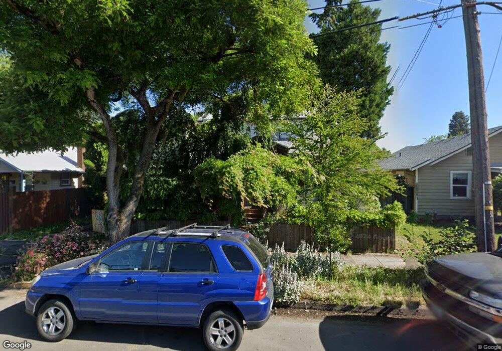
957 W 1st Ave Eugene, OR 97402
Whiteaker NeighborhoodEstimated Value: $345,000 - $457,893
3
Beds
1
Bath
1,198
Sq Ft
$344/Sq Ft
Est. Value
About This Home
This home is located at 957 W 1st Ave, Eugene, OR 97402 and is currently estimated at $411,723, approximately $343 per square foot. 957 W 1st Ave is a home located in Lane County with nearby schools including River Road/El Camino del Río Elementary School, Kelly Middle School, and North Eugene High School.
Ownership History
Date
Name
Owned For
Owner Type
Purchase Details
Closed on
Apr 2, 2024
Sold by
Life F Michael
Bought by
Lifebuck Living Trust and Life
Current Estimated Value
Purchase Details
Closed on
Jul 20, 2021
Sold by
Life F Micahel and Buck Shannon E
Bought by
Life F Michael
Purchase Details
Closed on
May 15, 2014
Sold by
Life Ii Frederick Michael
Bought by
The Fell Living Trust
Create a Home Valuation Report for This Property
The Home Valuation Report is an in-depth analysis detailing your home's value as well as a comparison with similar homes in the area
Home Values in the Area
Average Home Value in this Area
Purchase History
| Date | Buyer | Sale Price | Title Company |
|---|---|---|---|
| Lifebuck Living Trust | -- | None Listed On Document | |
| Life F Michael | -- | None Available | |
| The Fell Living Trust | -- | None Available |
Source: Public Records
Tax History
| Year | Tax Paid | Tax Assessment Tax Assessment Total Assessment is a certain percentage of the fair market value that is determined by local assessors to be the total taxable value of land and additions on the property. | Land | Improvement |
|---|---|---|---|---|
| 2025 | $2,984 | $153,143 | -- | -- |
| 2024 | $2,947 | $148,683 | -- | -- |
| 2023 | $2,947 | $144,353 | $0 | $0 |
| 2022 | $2,761 | $140,149 | $0 | $0 |
| 2021 | $2,114 | $110,959 | $0 | $0 |
| 2020 | $2,122 | $107,728 | $0 | $0 |
| 2019 | $2,049 | $104,591 | $0 | $0 |
| 2018 | $1,929 | $98,587 | $0 | $0 |
| 2017 | $1,843 | $98,587 | $0 | $0 |
| 2016 | $1,797 | $95,716 | $0 | $0 |
| 2015 | $1,745 | $92,928 | $0 | $0 |
| 2014 | $1,710 | $90,221 | $0 | $0 |
Source: Public Records
Map
Nearby Homes
- 9 N Monroe St Unit C
- 9 N Monroe St Unit B
- 9 N Monroe St Unit D
- 9 N Monroe St Unit A
- 211 Monroe St
- 461 Blair Blvd
- 5713 Durst St
- 1030 W 5th Ave
- 490 W 4th Ave
- 1391 W 5th Ave
- 427 Washington St
- 960 W 7th Ave
- 990 W 7th Ave
- 710 Van Buren St
- 780 Van Buren St
- 1230 W 7th Ave
- 147 Shelton McMurphey Blvd
- 104 Holeman Ave
- 961 Jefferson St
- 1197 W 11th Ave
Your Personal Tour Guide
Ask me questions while you tour the home.