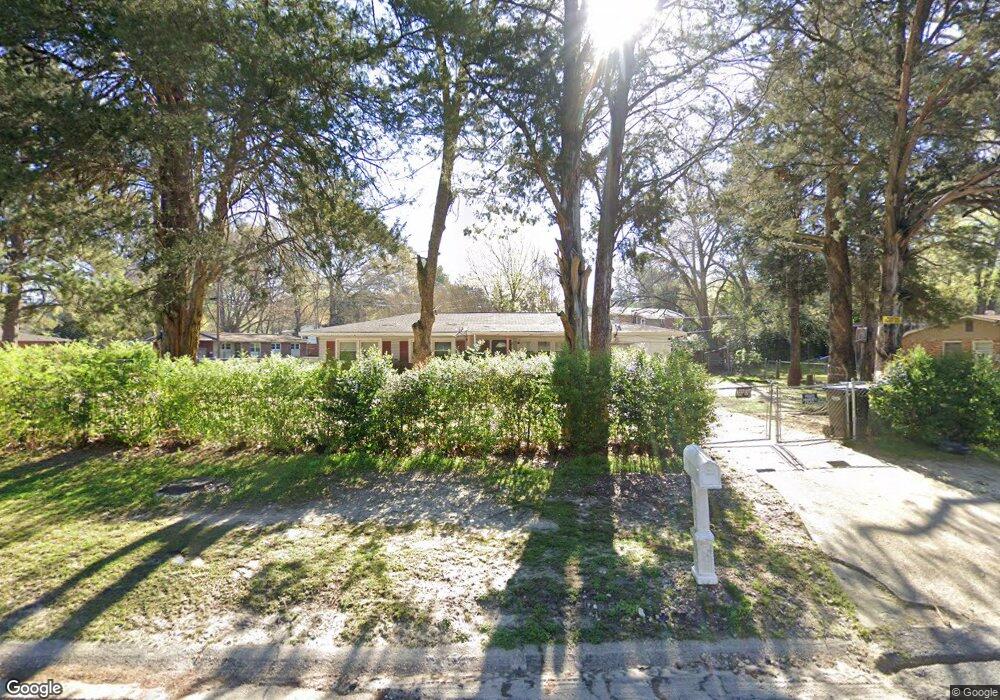
958 Brighton Rd Columbus, GA 31906
Eastern Columbus NeighborhoodEstimated Value: $101,704 - $113,000
3
Beds
2
Baths
1,240
Sq Ft
$86/Sq Ft
Est. Value
About This Home
This home is located at 958 Brighton Rd, Columbus, GA 31906 and is currently estimated at $106,176, approximately $85 per square foot. 958 Brighton Rd is a home located in Muscogee County with nearby schools including Lonnie Jackson Academy, Rothschild Leadership Academy, and Carver High School.
Ownership History
Date
Name
Owned For
Owner Type
Purchase Details
Closed on
Apr 12, 2020
Sold by
Young Doris L
Bought by
Young Robert J
Current Estimated Value
Purchase Details
Closed on
Nov 4, 2013
Sold by
Farmer Annie M
Bought by
Young Robert J and Young Doris L
Purchase Details
Closed on
Sep 11, 2008
Sold by
Farmer Dallas R and Farmer Annie M
Bought by
Farmer Annie M
Create a Home Valuation Report for This Property
The Home Valuation Report is an in-depth analysis detailing your home's value as well as a comparison with similar homes in the area
Home Values in the Area
Average Home Value in this Area
Purchase History
| Date | Buyer | Sale Price | Title Company |
|---|---|---|---|
| Young Robert J | -- | -- | |
| Young Robert J | $55,000 | -- | |
| Farmer Annie M | -- | None Available |
Source: Public Records
Tax History Compared to Growth
Tax History
| Year | Tax Paid | Tax Assessment Tax Assessment Total Assessment is a certain percentage of the fair market value that is determined by local assessors to be the total taxable value of land and additions on the property. | Land | Improvement |
|---|---|---|---|---|
| 2025 | $6,663 | $30,472 | $5,112 | $25,360 |
| 2024 | $4,951 | $30,472 | $5,112 | $25,360 |
| 2023 | $1,200 | $30,472 | $5,112 | $25,360 |
| 2022 | $821 | $20,112 | $5,112 | $15,000 |
| 2021 | $1,012 | $22,024 | $5,112 | $16,912 |
| 2020 | $899 | $22,024 | $5,112 | $16,912 |
| 2019 | $902 | $22,024 | $5,112 | $16,912 |
| 2018 | $902 | $22,024 | $5,112 | $16,912 |
| 2017 | $905 | $22,024 | $5,112 | $16,912 |
| 2016 | $908 | $22,000 | $3,296 | $18,704 |
| 2015 | $363 | $22,000 | $3,296 | $18,704 |
| 2014 | $364 | $22,000 | $3,296 | $18,704 |
| 2013 | -- | $22,740 | $3,296 | $19,444 |
Source: Public Records
Map
Nearby Homes
- 827 Brighton Rd
- 939 Pembrook Dr
- 3914 N Linden Dr
- 3570 Stratford Dr
- 3934 Linden Cir
- 3938 Linden Cir
- 4531 Kenesaw Dr
- 800 Morris Rd
- 1235 Woodburn Ct
- 920 Ashland Ave
- 3415 Terminal St
- 679 Parkchester Dr
- 776 Terminal Ct
- 3414 Terminal St
- 1122 Woodburn Ct
- 3319 Decatur St
- 3413 Terminal Ct
- 833 33rd Ave
- 1061 Dunbar Ave
- 1104 Dunbar Ave
- 950 Brighton Rd
- 953 Brighton Rd
- 1008 Brighton Rd
- 955 Kirkland Dr
- 942 Brighton Rd
- 967 Brighton Rd
- 939 Quincy Dr
- 945 Brighton Rd
- 943 Kirkland Dr
- 1005 Quincy Dr
- 1003 Quincy Dr
- 938 Brighton Rd
- 1010 Quincy Dr
- 1018 Brighton Rd
- 939 Kirkland Dr
- 935 Brighton Rd
- 1011 Quincy Dr
- 1011 Brighton Rd
- 932 Brighton Rd
- 1009 Kirkland Dr