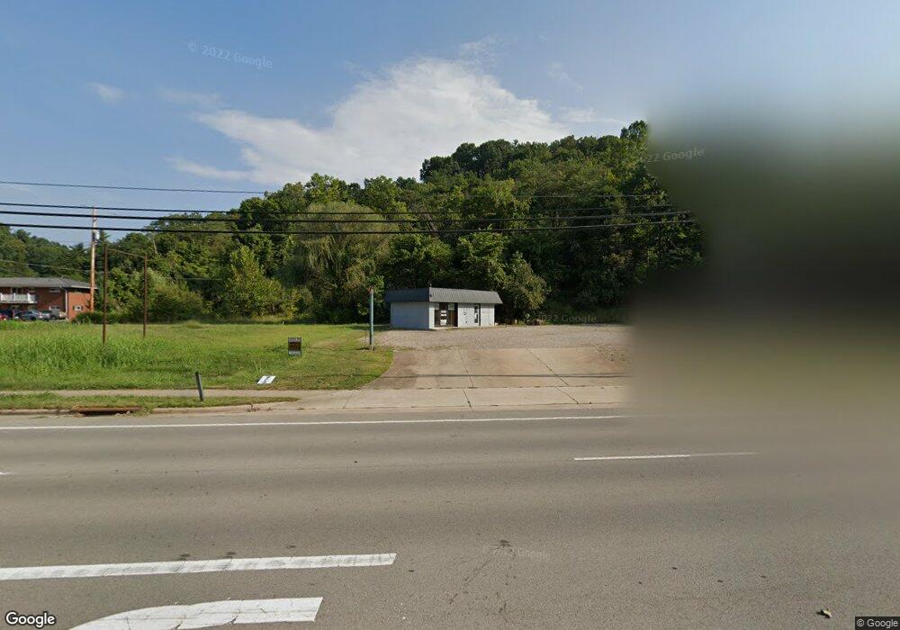
958 E State St Athens, OH 45701
Estimated Value: $717,066
Studio
--
Bath
--
Sq Ft
94,090
Sq Ft Lot
About This Home
This home is located at 958 E State St, Athens, OH 45701 and is currently estimated at $717,066. 958 E State St is a home located in Athens County with nearby schools including East Elementary School, Athens Middle School, and Athens High School.
Ownership History
Date
Name
Owned For
Owner Type
Purchase Details
Closed on
Nov 14, 2023
Sold by
Rpg Oh Properties Llc
Bought by
Athens Development Partners Llc
Current Estimated Value
Purchase Details
Closed on
Apr 18, 2022
Sold by
Renzelli Edward J
Bought by
Rpg Management Llc
Purchase Details
Closed on
Jul 20, 2019
Sold by
Renzelli Christina
Bought by
Renzelli Edward J
Purchase Details
Closed on
Sep 7, 2017
Sold by
Renzelli Edward J
Bought by
Renzelli Edward J and Renzelli Christina
Purchase Details
Closed on
Oct 28, 2013
Sold by
Estate Of Alice Marlene Renzelli
Bought by
Renzelli Edward J
Purchase Details
Closed on
Feb 1, 1988
Create a Home Valuation Report for This Property
The Home Valuation Report is an in-depth analysis detailing your home's value as well as a comparison with similar homes in the area
Purchase History
| Date | Buyer | Sale Price | Title Company |
|---|---|---|---|
| Athens Development Partners Llc | $948,600 | None Listed On Document | |
| Athens Development Partners Llc | $948,600 | None Listed On Document | |
| Rpg Oh Properties Llc | -- | None Listed On Document | |
| Rpg Oh Properties Llc | -- | None Listed On Document | |
| Rpg Management Llc | -- | Mott David J | |
| Renzelli Edward J | -- | None Available | |
| Renzelli Edward J | -- | Attorney | |
| Renzelli Edward J | -- | None Available | |
| -- | $138,000 | -- |
Source: Public Records
Tax History
| Year | Tax Paid | Tax Assessment Tax Assessment Total Assessment is a certain percentage of the fair market value that is determined by local assessors to be the total taxable value of land and additions on the property. | Land | Improvement |
|---|---|---|---|---|
| 2024 | $32,585 | $237,430 | $237,430 | $0 |
| 2023 | $11,403 | $184,420 | $184,420 | $0 |
| 2022 | $14,592 | $233,210 | $233,210 | $0 |
| 2021 | $14,523 | $233,210 | $233,210 | $0 |
| 2020 | $11,497 | $233,210 | $233,210 | $0 |
| 2019 | $8,734 | $140,750 | $140,750 | $0 |
| 2018 | $8,632 | $140,750 | $140,750 | $0 |
| 2017 | $13,267 | $140,750 | $140,750 | $0 |
| 2016 | $8,506 | $140,750 | $140,750 | $0 |
| 2015 | $13,587 | $140,750 | $140,750 | $0 |
| 2014 | $13,587 | $140,750 | $140,750 | $0 |
| 2013 | $13,240 | $140,750 | $140,750 | $0 |
Source: Public Records
Map
Nearby Homes
- 14 Euclid Dr
- 37 Euclid Dr
- 0 E State St Unit 226002681
- 44 Strathmore Blvd
- 58 Strathmore Blvd
- 12 McGuffey Ln
- 58 Lorene Ave
- 305 E State St
- 104 Sunnyside Dr
- 121 Morris Ave
- 26 Briarwood Dr
- 41 Briarwood Dr
- 1 Northwood Dr
- 37 Briarwood Dr
- 0 Strouds Run Unit 2433166
- 10 Joneswood Dr
- 123 Grosvenor St
- 64 Franklin Ave
- 11 Forest St
- 14240 Della Dr
- 960 E State St
- 952 E State St
- 962 E State St
- 954 E State St
- 964 E State St
- 940 E State St
- 932 E State St
- 936 E State St
- 993 E State St
- EAST E State St
- 12209 Harmony Rd
- 12175 Harmony Rd
- 12109 Harmony Rd
- 11961 Harmony Rd
- 7 Townsend Place
- 9 Townsend Place
- 11 Townsend Place
- 11955 Harmony Rd
- 11955 Harmony Rd
- 15 Townsend Place
Your Personal Tour Guide
Ask me questions while you tour the home.