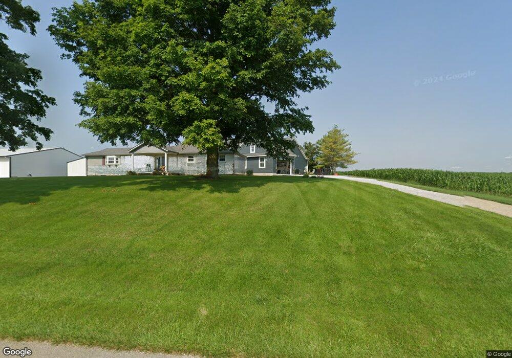
9583 N Division Rd Fountaintown, IN 46130
Estimated Value: $236,000 - $898,601
3
Beds
2
Baths
1,276
Sq Ft
$445/Sq Ft
Est. Value
About This Home
This home is located at 9583 N Division Rd, Fountaintown, IN 46130 and is currently estimated at $567,301, approximately $444 per square foot. 9583 N Division Rd is a home located in Shelby County with nearby schools including Morristown Elementary School and Morristown Junior/Senior High School.
Ownership History
Date
Name
Owned For
Owner Type
Purchase Details
Closed on
Jun 5, 2025
Sold by
Cooner David C and Conner Linda J
Bought by
Conner Family Revocable Trust
Current Estimated Value
Purchase Details
Closed on
Jun 4, 2009
Sold by
Hungate W Eric and Gay Karen
Bought by
Conner David C and Conner Linda J
Home Financials for this Owner
Home Financials are based on the most recent Mortgage that was taken out on this home.
Original Mortgage
$142,000
Interest Rate
4.92%
Mortgage Type
Purchase Money Mortgage
Create a Home Valuation Report for This Property
The Home Valuation Report is an in-depth analysis detailing your home's value as well as a comparison with similar homes in the area
Home Values in the Area
Average Home Value in this Area
Purchase History
| Date | Buyer | Sale Price | Title Company |
|---|---|---|---|
| Conner Family Revocable Trust | -- | None Listed On Document | |
| Conner David C | -- | -- |
Source: Public Records
Mortgage History
| Date | Status | Borrower | Loan Amount |
|---|---|---|---|
| Previous Owner | Conner David C | $142,000 |
Source: Public Records
Tax History Compared to Growth
Tax History
| Year | Tax Paid | Tax Assessment Tax Assessment Total Assessment is a certain percentage of the fair market value that is determined by local assessors to be the total taxable value of land and additions on the property. | Land | Improvement |
|---|---|---|---|---|
| 2024 | $8,691 | $819,800 | $124,400 | $695,400 |
| 2023 | $6,272 | $481,600 | $106,700 | $374,900 |
| 2022 | $5,940 | $450,100 | $88,100 | $362,000 |
| 2021 | $5,176 | $395,900 | $78,300 | $317,600 |
| 2020 | $4,910 | $386,800 | $77,900 | $308,900 |
| 2019 | $4,550 | $362,300 | $90,000 | $272,300 |
| 2018 | $4,333 | $345,100 | $92,400 | $252,700 |
| 2017 | $3,589 | $306,800 | $103,500 | $203,300 |
| 2016 | $3,546 | $323,200 | $108,600 | $214,600 |
| 2014 | $2,605 | $259,600 | $111,700 | $147,900 |
| 2013 | $2,605 | $252,900 | $97,600 | $155,300 |
Source: Public Records
Map
Nearby Homes
- 256 E 1000 N
- 10686 N Division Rd
- 11131 N State Road 9
- 11497 N State Road 9
- 1898 E 1000 N
- 1744 E 850 N
- 11600 N 100 E
- 83 E Walnut St
- 6 U S 52
- 5 U S 52
- 2903 E Freeport Rd
- 10812 N Blue River Trail
- 8825 N 300 E
- 8968 N 300 E
- 5555 S 200 E
- 10614 N 300 E
- 10618 N 300 E
- 10620 N 300 E
- 0 S 300 East- 2
- 11546 N Shelby 300 W
- 9385 N 25 W
- 9321 N 25 W
- 9401 N 25 W
- 9228 N 25 W
- 320 Hidden Valley Ct
- 320 Hidden Valley Ct
- 285 Hidden Valley Ct
- 9134 N 25 W
- 0 E Hidden Valley Ct Unit 21311358
- 0 E Hidden Valley Ct Unit 21311349
- 399 Hidden Valley Ct
- 321 W 1000 N
- 10082 N Division Rd
- 498 Hidden Valley Ct
- 9375 Indiana 9
- 0 Division Rd Unit 21586882
- 0 Division Rd Unit 21456022
- 0 Division Rd Unit 21455830
- 0 Division Rd Unit 21455834
- 0 Division Rd Unit 21455701