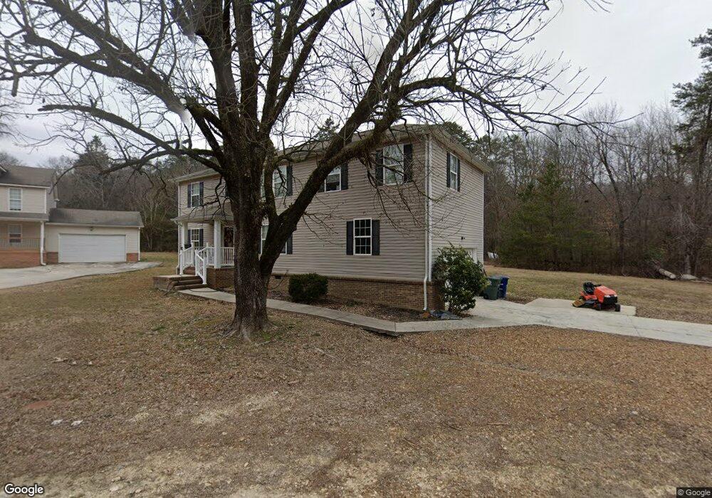
959 Lower Mill Rd Hixson, TN 37343
Valleybrook NeighborhoodEstimated Value: $369,000 - $383,200
3
Beds
3
Baths
2,265
Sq Ft
$166/Sq Ft
Est. Value
About This Home
This home is located at 959 Lower Mill Rd, Hixson, TN 37343 and is currently estimated at $376,550, approximately $166 per square foot. 959 Lower Mill Rd is a home located in Hamilton County with nearby schools including Hixson Elementary School, Hixson Middle School, and Hixson High School.
Ownership History
Date
Name
Owned For
Owner Type
Purchase Details
Closed on
Aug 31, 2005
Sold by
Koeninger Karl and Koeninger Jimmie
Bought by
Bakir Mostafa A and Bakir Debra L
Current Estimated Value
Home Financials for this Owner
Home Financials are based on the most recent Mortgage that was taken out on this home.
Original Mortgage
$144,500
Outstanding Balance
$76,285
Interest Rate
5.64%
Mortgage Type
Unknown
Estimated Equity
$300,265
Purchase Details
Closed on
Jan 28, 2002
Sold by
Ward Jereline H
Bought by
Desantis Peter J and Vandergriff Lexie N
Create a Home Valuation Report for This Property
The Home Valuation Report is an in-depth analysis detailing your home's value as well as a comparison with similar homes in the area
Home Values in the Area
Average Home Value in this Area
Purchase History
| Date | Buyer | Sale Price | Title Company |
|---|---|---|---|
| Bakir Mostafa A | $32,000 | Century Title & Escrow Inc | |
| Desantis Peter J | $28,000 | -- |
Source: Public Records
Mortgage History
| Date | Status | Borrower | Loan Amount |
|---|---|---|---|
| Open | Bakir Mostafa A | $144,500 |
Source: Public Records
Tax History Compared to Growth
Tax History
| Year | Tax Paid | Tax Assessment Tax Assessment Total Assessment is a certain percentage of the fair market value that is determined by local assessors to be the total taxable value of land and additions on the property. | Land | Improvement |
|---|---|---|---|---|
| 2024 | $1,336 | $59,725 | $0 | $0 |
| 2023 | $1,336 | $59,725 | $0 | $0 |
| 2022 | $1,336 | $59,725 | $0 | $0 |
| 2021 | $1,336 | $59,725 | $0 | $0 |
| 2020 | $1,165 | $42,125 | $0 | $0 |
| 2019 | $1,165 | $42,125 | $0 | $0 |
| 2018 | $1,086 | $42,125 | $0 | $0 |
| 2017 | $1,165 | $42,125 | $0 | $0 |
| 2016 | $1,198 | $0 | $0 | $0 |
| 2015 | $2,314 | $43,325 | $0 | $0 |
| 2014 | $2,314 | $0 | $0 | $0 |
Source: Public Records
Map
Nearby Homes
- 437 English Oaks Dr
- 421 Golden Oaks Dr
- 743 Ashley Forest Dr
- 434 Stoneridge Dr
- 808 Fox Chase Ln
- 497 Candytuft Ln
- 1225 Dreamcatcher Way
- 1000 Olde Mill Ln
- 5848 Grubb Rd
- 311 Branch Dr
- 790 Wood Grove Cir
- 5741 Lyle Cir
- 5700 Lyle Cir
- 6043 Mill Rd
- 753 Wood Grove Cir
- 5967 Winding Ln
- 5813 Ragnar Dr
- 5929 Winding Ln
- 5813 Northwoods Dr
- 5977 Crestview Dr
- 957 Lower Mill Rd
- 956 Lower Mill Rd
- 953 Lower Mill Rd
- 954 Lower Mill Rd
- 1000 Lower Mill Rd
- 423 English Oaks Dr
- 425 English Oaks Dr
- 421 English Oaks Dr
- 1002 Lower Mill Rd
- 6501 Sandswitch Rd
- 950 Lower Mill Rd
- 1005 Lower Mill Rd
- 711 Ashley Forest Dr
- 433 English Oaks Dr
- 1006 Lower Mill Rd
- 717 Ashley Forest Dr
- 713 Ashley Forest Dr
- 721 Ashley Forest Dr
- 6504 Sandswitch Rd
- 419 English Oaks Dr