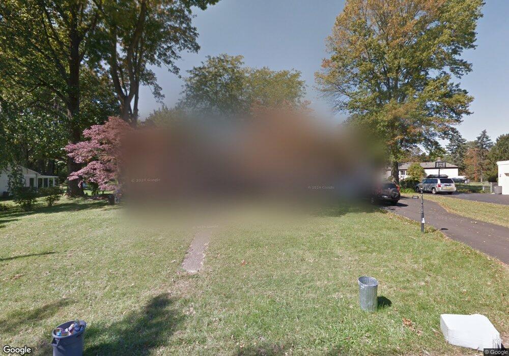
959 W Maple Dr Southampton, PA 18966
Estimated Value: $509,000 - $620,000
3
Beds
2
Baths
2,680
Sq Ft
$210/Sq Ft
Est. Value
About This Home
This home is located at 959 W Maple Dr, Southampton, PA 18966 and is currently estimated at $562,919, approximately $210 per square foot. 959 W Maple Dr is a home located in Bucks County with nearby schools including Davis Elementary School, Klinger Middle School, and William Tennent High School.
Ownership History
Date
Name
Owned For
Owner Type
Purchase Details
Closed on
Dec 3, 2004
Sold by
Barraclough Robert
Bought by
Dadlani Manoj M and Hiranandani Hema C
Current Estimated Value
Home Financials for this Owner
Home Financials are based on the most recent Mortgage that was taken out on this home.
Original Mortgage
$224,800
Interest Rate
5.81%
Mortgage Type
Fannie Mae Freddie Mac
Purchase Details
Closed on
Oct 15, 1979
Bought by
Barraclough Robert and Barraclough Bertha
Create a Home Valuation Report for This Property
The Home Valuation Report is an in-depth analysis detailing your home's value as well as a comparison with similar homes in the area
Home Values in the Area
Average Home Value in this Area
Purchase History
| Date | Buyer | Sale Price | Title Company |
|---|---|---|---|
| Dadlani Manoj M | $281,000 | -- | |
| Barraclough Robert | $70,000 | -- |
Source: Public Records
Mortgage History
| Date | Status | Borrower | Loan Amount |
|---|---|---|---|
| Previous Owner | Dadlani Manoj M | $224,800 |
Source: Public Records
Tax History Compared to Growth
Tax History
| Year | Tax Paid | Tax Assessment Tax Assessment Total Assessment is a certain percentage of the fair market value that is determined by local assessors to be the total taxable value of land and additions on the property. | Land | Improvement |
|---|---|---|---|---|
| 2025 | $5,903 | $27,600 | $6,080 | $21,520 |
| 2024 | $5,903 | $27,600 | $6,080 | $21,520 |
| 2023 | $5,724 | $27,600 | $6,080 | $21,520 |
| 2022 | $5,603 | $27,600 | $6,080 | $21,520 |
| 2021 | $5,502 | $27,600 | $6,080 | $21,520 |
| 2020 | $5,426 | $27,600 | $6,080 | $21,520 |
| 2019 | $5,226 | $27,600 | $6,080 | $21,520 |
| 2018 | $5,106 | $27,600 | $6,080 | $21,520 |
| 2017 | $4,962 | $27,600 | $6,080 | $21,520 |
| 2016 | $4,962 | $27,600 | $6,080 | $21,520 |
| 2015 | -- | $27,600 | $6,080 | $21,520 |
| 2014 | -- | $27,600 | $6,080 | $21,520 |
Source: Public Records
Map
Nearby Homes
- 1370 Mill Creek Rd
- 905 Pebble Ln
- 756 Churchville Rd
- 926 Carlin Dr
- 736 Plum St
- 1081 Cherry Ln
- 604 Cushmore Rd
- 1366 Stephen Way
- 603 Steamboat Station Unit 603
- 1307 Steamboat Station Unit 1307
- 693 Provident Rd
- 681 Provident Rd
- 1535 Fieldwood Rd
- 1555 Fieldwood Rd
- 643 Croft Dr
- 1066 Bristol Rd
- 967 Jeffrey Dr
- 1632 Mcnelis Dr
- 559 Maple Ave
- 955 Bristol Rd
- 965 W Maple Dr
- 953 W Maple Dr
- 905 W Maple Dr
- 960 W Maple Dr
- 911 W Maple Dr
- 970 W Maple Dr
- 971 W Maple Dr
- 899 W Maple Dr
- 948 W Maple Dr
- 893 W Maple Dr
- 942 W Maple Dr
- 923 W Maple Dr
- 904 W Maple Dr
- 896 Central Ave
- 886 Central Ave
- 887 W Maple Dr
- 898 W Maple Dr
- 936 W Maple Dr
- 980 W Maple Dr
- 910 W Maple Dr