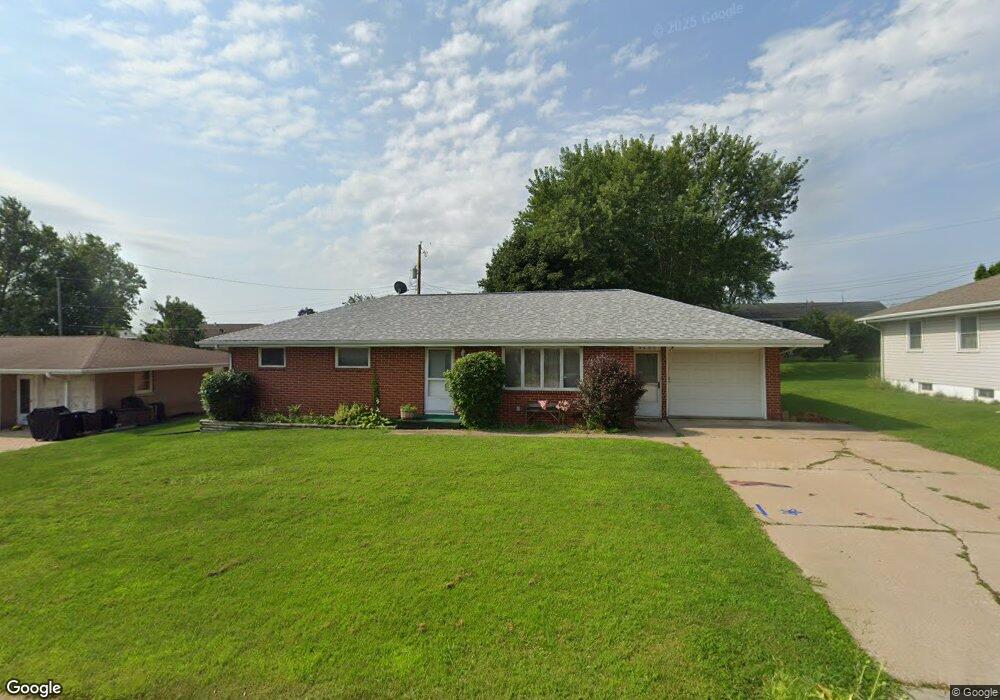
9590 Maquoketa Dr Dubuque, IA 52003
Estimated Value: $233,781 - $286,000
3
Beds
3
Baths
1,260
Sq Ft
$209/Sq Ft
Est. Value
About This Home
This home is located at 9590 Maquoketa Dr, Dubuque, IA 52003 and is currently estimated at $263,195, approximately $208 per square foot. 9590 Maquoketa Dr is a home located in Dubuque County with nearby schools including Table Mound Elementary School, Eleanor Roosevelt Middle School, and Dubuque Senior High School.
Ownership History
Date
Name
Owned For
Owner Type
Purchase Details
Closed on
Jul 10, 2013
Sold by
Bakey Cristopher M
Bought by
Bakey Rose M
Current Estimated Value
Home Financials for this Owner
Home Financials are based on the most recent Mortgage that was taken out on this home.
Original Mortgage
$112,000
Interest Rate
3.91%
Mortgage Type
New Conventional
Create a Home Valuation Report for This Property
The Home Valuation Report is an in-depth analysis detailing your home's value as well as a comparison with similar homes in the area
Home Values in the Area
Average Home Value in this Area
Purchase History
| Date | Buyer | Sale Price | Title Company |
|---|---|---|---|
| Bakey Rose M | -- | None Available |
Source: Public Records
Mortgage History
| Date | Status | Borrower | Loan Amount |
|---|---|---|---|
| Closed | Bakey Rose M | $112,000 |
Source: Public Records
Tax History Compared to Growth
Tax History
| Year | Tax Paid | Tax Assessment Tax Assessment Total Assessment is a certain percentage of the fair market value that is determined by local assessors to be the total taxable value of land and additions on the property. | Land | Improvement |
|---|---|---|---|---|
| 2025 | $2,360 | $218,800 | $43,700 | $175,100 |
| 2024 | $2,360 | $212,000 | $43,700 | $168,300 |
| 2023 | $2,280 | $212,000 | $43,700 | $168,300 |
| 2022 | $2,174 | $168,990 | $43,700 | $125,290 |
| 2021 | $2,174 | $168,990 | $43,700 | $125,290 |
| 2020 | $2,296 | $166,290 | $41,800 | $124,490 |
| 2019 | $2,060 | $166,290 | $41,800 | $124,490 |
| 2018 | $1,996 | $144,420 | $26,180 | $118,240 |
| 2017 | $1,906 | $143,700 | $26,180 | $117,520 |
| 2016 | $1,850 | $130,940 | $20,520 | $110,420 |
| 2015 | $1,850 | $130,940 | $20,520 | $110,420 |
| 2014 | $1,780 | $130,480 | $20,520 | $109,960 |
Source: Public Records
Map
Nearby Homes
- 0 Stone Hill Dr
- Lot 35 Fieldstone Ct
- Lot 124 S Pointe Dr
- Lot 123 S Pointe Dr
- Lot 122 S Pointe Dr
- Lot 121 S Pointe Dr
- 1462 Autumn Ridge Ln
- Lot 131 Autumn Ridge Ln
- Lot 14 Autumn Ridge Ln
- Lot 12 Autumn Ridge Ln
- Lot 10 Autumn Ridge Ln
- Lot 11 Autumn Ridge Ln
- Lot 9 Autumn Ridge Ln
- Lot 3 Autumn Ridge Ln
- 10533 Cedar Point Ct
- Lot 25 Rolling Creek Ln
- Lot 129 Rolling Creek Ln
- Lot 24 Rolling Creek Ln
- 1380 Autumn Ridge Ln
- 2438 Rolling Creek Ln
- 9576 Maquoketa Dr
- 9606 Maquoketa Dr
- 9607 Monticello Dr
- 9623 Monticello Dr
- 9593 Monticello Dr
- 9562 Maquoketa Dr
- 9620 Maquoketa Dr
- 9587 Maquoketa Dr
- 9573 Maquoketa Dr
- 9603 Maquoketa Dr
- 9637 Monticello Dr
- 9579 Monticello Dr
- 9559 Maquoketa Dr
- 9617 Maquoketa Dr
- 9548 Maquoketa Dr
- 9565 Monticello Dr
- 9653 Monticello Dr
- 9634 Maquoketa Dr
- 9621 Maquoketa Dr
- 10949 Cascade Dr