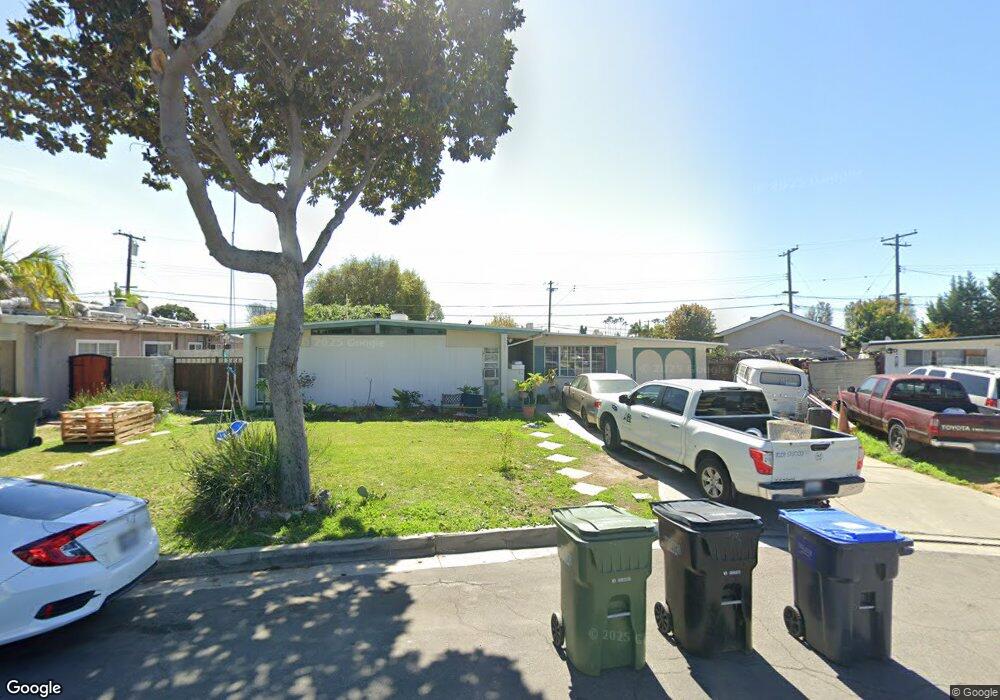
9592 Mina Ave Whittier, CA 90605
South Whittier NeighborhoodEstimated Value: $753,000 - $854,000
3
Beds
2
Baths
1,472
Sq Ft
$543/Sq Ft
Est. Value
About This Home
This home is located at 9592 Mina Ave, Whittier, CA 90605 and is currently estimated at $800,013, approximately $543 per square foot. 9592 Mina Ave is a home located in Los Angeles County with nearby schools including Mulberry Elementary School, Hillview Middle School, and California High School.
Ownership History
Date
Name
Owned For
Owner Type
Purchase Details
Closed on
Apr 12, 2019
Sold by
Rodriguez Manuel
Bought by
Miramontes Rodriguez Manuel and Miramontes De Rodriguez Bercely
Current Estimated Value
Purchase Details
Closed on
Mar 5, 2007
Sold by
Rodriguez Manuel and Cervantes Connie
Bought by
Rodriguez Manuel
Home Financials for this Owner
Home Financials are based on the most recent Mortgage that was taken out on this home.
Original Mortgage
$392,000
Interest Rate
6.11%
Mortgage Type
New Conventional
Create a Home Valuation Report for This Property
The Home Valuation Report is an in-depth analysis detailing your home's value as well as a comparison with similar homes in the area
Home Values in the Area
Average Home Value in this Area
Purchase History
| Date | Buyer | Sale Price | Title Company |
|---|---|---|---|
| Miramontes Rodriguez Manuel | -- | None Available | |
| Rodriguez Manuel | -- | Nations |
Source: Public Records
Mortgage History
| Date | Status | Borrower | Loan Amount |
|---|---|---|---|
| Closed | Rodriguez Manuel | $392,000 |
Source: Public Records
Tax History
| Year | Tax Paid | Tax Assessment Tax Assessment Total Assessment is a certain percentage of the fair market value that is determined by local assessors to be the total taxable value of land and additions on the property. | Land | Improvement |
|---|---|---|---|---|
| 2025 | $4,260 | $334,624 | $226,465 | $108,159 |
| 2024 | $4,260 | $328,064 | $222,025 | $106,039 |
| 2023 | $4,190 | $321,632 | $217,672 | $103,960 |
| 2022 | $4,100 | $315,326 | $213,404 | $101,922 |
| 2021 | $4,018 | $309,144 | $209,220 | $99,924 |
| 2020 | $3,974 | $305,975 | $207,075 | $98,900 |
| 2019 | $3,938 | $299,976 | $203,015 | $96,961 |
| 2018 | $3,789 | $294,095 | $199,035 | $95,060 |
| 2016 | $3,584 | $282,677 | $191,307 | $91,370 |
| 2015 | $3,561 | $278,432 | $188,434 | $89,998 |
| 2014 | $3,516 | $272,979 | $184,743 | $88,236 |
Source: Public Records
Map
Nearby Homes
- 10035 Ben Hur Ave
- 13856 Mulberry Dr
- 13840 Danbrook Dr
- 14016 Light St
- 14215 La Forge St
- 13814 Mystic St
- 9308 Tarryton Ave
- 14134 Putnam St
- 13924 Anola St
- 9551 Barkerville Ave
- 13649 Lanning Dr
- 14255 Broadway
- 9344 Firebird Ave
- 14308 Broadway
- 14315 Broadway Unit 210
- 10202 Mina Ave
- 8901 Ocean View Ave
- 14351 Starbuck St
- 8847 Ocean View Ave
- 13838 Cornishcrest Rd
Your Personal Tour Guide
Ask me questions while you tour the home.