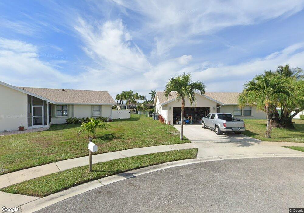
9595 Newport Rd Boca Raton, FL 33434
Southwind Lakes NeighborhoodEstimated Value: $512,793 - $579,000
--
Bed
2
Baths
1,471
Sq Ft
$369/Sq Ft
Est. Value
About This Home
This home is located at 9595 Newport Rd, Boca Raton, FL 33434 and is currently estimated at $542,448, approximately $368 per square foot. 9595 Newport Rd is a home located in Palm Beach County with nearby schools including Whispering Pines Elementary School, Eagles Landing Middle School, and Olympic Heights Community High.
Ownership History
Date
Name
Owned For
Owner Type
Purchase Details
Closed on
Jun 15, 2012
Sold by
Moore Walter G and Moore Margo J
Bought by
Moore Walter G and Moore Margo J
Current Estimated Value
Purchase Details
Closed on
Dec 16, 1997
Sold by
Wolff Irving and Wolff Lennette
Bought by
Moore Walter G and Moore Margo J
Home Financials for this Owner
Home Financials are based on the most recent Mortgage that was taken out on this home.
Original Mortgage
$89,000
Outstanding Balance
$15,004
Interest Rate
7.19%
Mortgage Type
New Conventional
Estimated Equity
$527,444
Create a Home Valuation Report for This Property
The Home Valuation Report is an in-depth analysis detailing your home's value as well as a comparison with similar homes in the area
Home Values in the Area
Average Home Value in this Area
Purchase History
| Date | Buyer | Sale Price | Title Company |
|---|---|---|---|
| Moore Walter G | -- | Attorney | |
| Moore Walter G | $139,000 | -- |
Source: Public Records
Mortgage History
| Date | Status | Borrower | Loan Amount |
|---|---|---|---|
| Open | Moore Walter G | $89,000 |
Source: Public Records
Tax History Compared to Growth
Tax History
| Year | Tax Paid | Tax Assessment Tax Assessment Total Assessment is a certain percentage of the fair market value that is determined by local assessors to be the total taxable value of land and additions on the property. | Land | Improvement |
|---|---|---|---|---|
| 2024 | $2,805 | $185,188 | -- | -- |
| 2023 | $2,724 | $179,794 | $0 | $0 |
| 2022 | $2,688 | $174,557 | $0 | $0 |
| 2021 | $2,650 | $169,473 | $0 | $0 |
| 2020 | $2,622 | $167,133 | $0 | $0 |
| 2019 | $2,587 | $163,375 | $0 | $0 |
| 2018 | $2,457 | $160,329 | $0 | $0 |
| 2017 | $2,406 | $157,031 | $0 | $0 |
| 2016 | $2,404 | $153,801 | $0 | $0 |
| 2015 | $2,455 | $152,732 | $0 | $0 |
| 2014 | $2,459 | $151,520 | $0 | $0 |
Source: Public Records
Map
Nearby Homes
- 19663 Hampton Dr
- 9540 Richmond Cir
- 19426 Colorado Cir
- 19476 Carolina Cir
- 19627 Montana Ln
- 19309 Carolina Cir
- 9893 Liberty Rd
- 9756 Majorca Place
- 19907 Villa Lante Place
- 9342 Gettysburg Rd
- 9324 Gettysburg Rd
- 9811 Majorca Place
- 9414 Aegean Dr
- 9398 Aegean Dr
- 18940 Stewart Cir Unit 2
- 18974 Cloud Lake Cir
- 4068 Ainslie D Unit 406
- 9569 Tavernier Dr
- 3063 Ainslie D
- 9381 Aegean Dr
- 9581 Newport Rd
- 9582 Newport Rd
- 9567 Newport Rd
- 9568 Newport Rd
- 9554 Newport Rd
- 9553 Newport Rd
- 9553 Denver Ct
- 9567 Denver Ct
- 9540 Newport Rd
- 9539 Newport Rd
- 9539 Denver Ct
- 9526 Newport Rd
- 9525 Newport Rd
- 19523 Hampton Dr
- 9554 Denver Ct
- 9525 Denver Ct
- 19424 Dakota Ct
- 19444 Dakota Ct
- 19406 Dakota Ct
- 19509 Hampton Dr