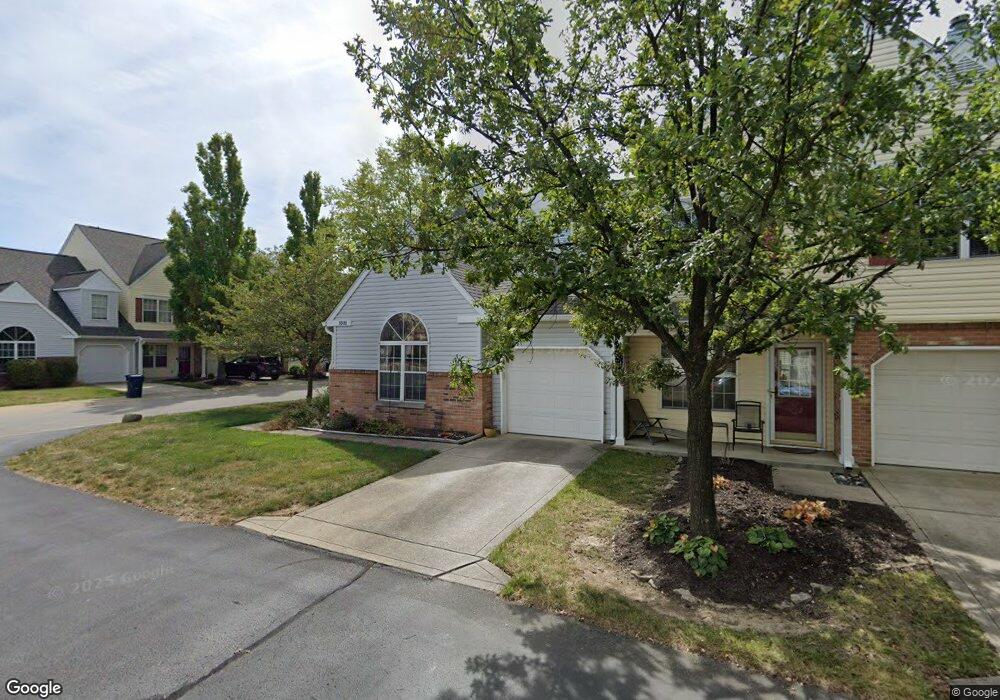
9595 Thradd St Fishers, IN 46038
Estimated Value: $242,198 - $251,000
3
Beds
2
Baths
1,592
Sq Ft
$155/Sq Ft
Est. Value
About This Home
This home is located at 9595 Thradd St, Fishers, IN 46038 and is currently estimated at $246,800, approximately $155 per square foot. 9595 Thradd St is a home located in Hamilton County with nearby schools including Cumberland Road Elementary School, East Middle School, and Fishers Junior High School.
Ownership History
Date
Name
Owned For
Owner Type
Purchase Details
Closed on
Oct 14, 2005
Sold by
Johnston Carol Lee
Bought by
Johnston Carol Lee and Johnston Jason B
Current Estimated Value
Home Financials for this Owner
Home Financials are based on the most recent Mortgage that was taken out on this home.
Original Mortgage
$95,200
Interest Rate
6.2%
Mortgage Type
Fannie Mae Freddie Mac
Create a Home Valuation Report for This Property
The Home Valuation Report is an in-depth analysis detailing your home's value as well as a comparison with similar homes in the area
Home Values in the Area
Average Home Value in this Area
Purchase History
| Date | Buyer | Sale Price | Title Company |
|---|---|---|---|
| Johnston Carol Lee | -- | -- | |
| Johnston Carol Lee | -- | -- |
Source: Public Records
Mortgage History
| Date | Status | Borrower | Loan Amount |
|---|---|---|---|
| Previous Owner | Johnston Carol Lee | $95,200 |
Source: Public Records
Tax History Compared to Growth
Tax History
| Year | Tax Paid | Tax Assessment Tax Assessment Total Assessment is a certain percentage of the fair market value that is determined by local assessors to be the total taxable value of land and additions on the property. | Land | Improvement |
|---|---|---|---|---|
| 2024 | $2,167 | $213,200 | $68,000 | $145,200 |
| 2023 | $2,167 | $211,700 | $45,000 | $166,700 |
| 2022 | $1,940 | $178,500 | $45,000 | $133,500 |
| 2021 | $1,631 | $154,300 | $33,000 | $121,300 |
| 2020 | $1,426 | $139,600 | $33,000 | $106,600 |
| 2019 | $1,222 | $125,600 | $24,300 | $101,300 |
| 2018 | $1,079 | $116,200 | $24,300 | $91,900 |
| 2017 | $1,008 | $112,100 | $24,300 | $87,800 |
| 2016 | $960 | $109,300 | $24,300 | $85,000 |
| 2014 | $721 | $100,900 | $24,300 | $76,600 |
| 2013 | $721 | $103,500 | $24,300 | $79,200 |
Source: Public Records
Map
Nearby Homes
- 12677 Ladson St
- 12959 Shandon Ln
- 12991 Wingstem Ct
- 10066 Perlita Place
- 11798 & 11842 E 131st St
- 9080 Teaneck Dr
- 13068 Lamarque Place
- 12541 Trester Ln
- 13068 Raritan Dr
- 9050 Sparta Dr
- 10150 Beresford Ct
- 12427 Trumbull Ct
- 8850 Tanner Dr
- 9009 Mercer Dr
- 12966 Pleasant View Ln
- 13048 Ross Crossing
- 12587 Wolford Place
- 10513 Blue Springs Ln
- 10175 Pamona Ct
- 12126 Blue Springs Ln
- 9585 Thradd St
- 9585 Thradd St Unit Block 3
- 9575 Thradd St Unit Block 3
- 9565 Thradd St
- 9594 Gibbes St
- 12707 Ladson St
- 12707 Ladson St Unit 13
- 12705 Ladson St
- 12705 Ladson St Unit 4
- 12709 Ladson St
- 9584 Gibbes St
- 9555 Thradd St
- 9574 Gibbes St
- 12703 Ladson St
- 12711 Ladson St Unit 8
- 12711 Ladson St
- 12711 Ladson St Unit 801
- 12701 Ladson St
- 9545 Thradd St
- 9554 Gibbes St