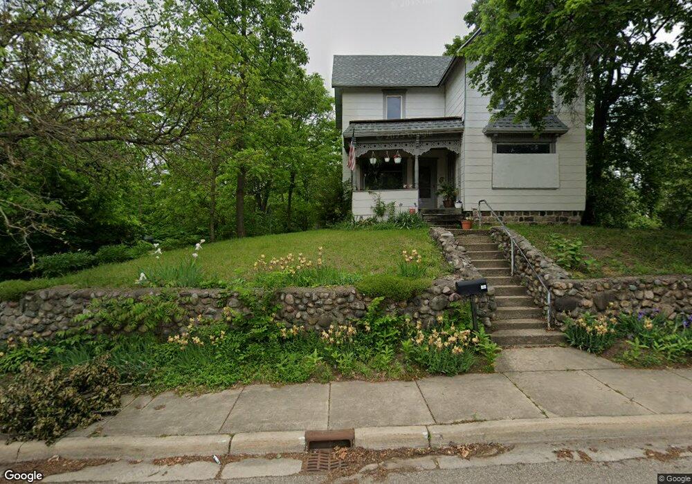
96 Arthur St Battle Creek, MI 49015
Central Battle Creek NeighborhoodEstimated Value: $109,000 - $142,000
5
Beds
1
Bath
1,783
Sq Ft
$70/Sq Ft
Est. Value
About This Home
This home is located at 96 Arthur St, Battle Creek, MI 49015 and is currently estimated at $124,996, approximately $70 per square foot. 96 Arthur St is a home located in Calhoun County with nearby schools including Ann J. Kellogg School, Springfield Middle School, and Battle Creek Central High School.
Ownership History
Date
Name
Owned For
Owner Type
Purchase Details
Closed on
Aug 23, 2013
Sold by
Page Anna Marie
Bought by
Howard Deborah K
Current Estimated Value
Purchase Details
Closed on
Mar 16, 2011
Sold by
Secretary Of Housing & Urban Development
Bought by
Page Anna
Purchase Details
Closed on
Apr 28, 2010
Sold by
Chase Home Finance Llc
Bought by
Secretary Of Housing & Urban Development
Purchase Details
Closed on
Jan 7, 2010
Sold by
Jimenez Tamara L
Bought by
Chase Home Finance Llc
Purchase Details
Closed on
Feb 29, 2000
Sold by
Bagwell Trustemmett G
Bought by
Jimenez Tamara L
Create a Home Valuation Report for This Property
The Home Valuation Report is an in-depth analysis detailing your home's value as well as a comparison with similar homes in the area
Home Values in the Area
Average Home Value in this Area
Purchase History
| Date | Buyer | Sale Price | Title Company |
|---|---|---|---|
| Howard Deborah K | -- | None Available | |
| Page Anna | $7,600 | None Available | |
| Secretary Of Housing & Urban Development | -- | None Available | |
| Chase Home Finance Llc | $38,323 | None Available | |
| Jimenez Tamara L | $38,000 | -- |
Source: Public Records
Tax History Compared to Growth
Tax History
| Year | Tax Paid | Tax Assessment Tax Assessment Total Assessment is a certain percentage of the fair market value that is determined by local assessors to be the total taxable value of land and additions on the property. | Land | Improvement |
|---|---|---|---|---|
| 2025 | -- | $44,200 | $0 | $0 |
| 2024 | $819 | $36,790 | $0 | $0 |
| 2023 | $936 | $35,285 | $0 | $0 |
| 2022 | $740 | $26,654 | $0 | $0 |
| 2021 | $883 | $24,396 | $0 | $0 |
| 2020 | $1,341 | $24,076 | $0 | $0 |
| 2019 | $1,364 | $18,297 | $0 | $0 |
| 2018 | $1,364 | $18,421 | $675 | $17,746 |
| 2017 | $1,562 | $20,954 | $0 | $0 |
| 2016 | $1,589 | $23,914 | $0 | $0 |
| 2015 | $1,435 | $26,703 | $3,439 | $23,264 |
| 2014 | $1,435 | $28,408 | $3,439 | $24,969 |
Source: Public Records
Map
Nearby Homes
- 17 Tennyson Ave
- 57 Boulder St
- 66 Cleveland St
- 96 Battle Creek Ave
- 35 Eldred St
- 71 Burnham St W
- 171 Goguac St W
- 296 Meachem Ave
- 1 Grand Blvd
- 41 Randolph St
- 32 Territorial Rd E
- 0 Riverside Pkwy Unit 25036355
- 100 Eldred St
- 210 Battle Creek Ave
- 212 Goguac St W
- 3 Riverside Pkwy
- 178 Webber St
- 21 Spring St
- 15 Marine Dr
- 127 W Territorial Rd