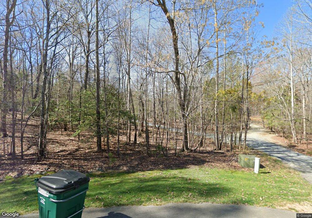
96 Avalant Pittsboro, NC 27312
Estimated Value: $991,000 - $1,307,000
4
Beds
4
Baths
3,641
Sq Ft
$315/Sq Ft
Est. Value
About This Home
This home is located at 96 Avalant, Pittsboro, NC 27312 and is currently estimated at $1,145,172, approximately $314 per square foot. 96 Avalant is a home located in Chatham County with nearby schools including Perry W. Harrison Elementary School and Margaret B. Pollard Middle School.
Ownership History
Date
Name
Owned For
Owner Type
Purchase Details
Closed on
May 31, 2013
Sold by
Smith Mark S and Smith Christine R
Bought by
Bundenthal Matthew J and Bundenthal Christina Y
Current Estimated Value
Home Financials for this Owner
Home Financials are based on the most recent Mortgage that was taken out on this home.
Original Mortgage
$366,800
Outstanding Balance
$259,521
Interest Rate
3.37%
Mortgage Type
New Conventional
Estimated Equity
$885,651
Create a Home Valuation Report for This Property
The Home Valuation Report is an in-depth analysis detailing your home's value as well as a comparison with similar homes in the area
Home Values in the Area
Average Home Value in this Area
Purchase History
| Date | Buyer | Sale Price | Title Company |
|---|---|---|---|
| Bundenthal Matthew J | $524,000 | None Available |
Source: Public Records
Mortgage History
| Date | Status | Borrower | Loan Amount |
|---|---|---|---|
| Open | Bundenthal Matthew J | $366,800 |
Source: Public Records
Tax History Compared to Growth
Tax History
| Year | Tax Paid | Tax Assessment Tax Assessment Total Assessment is a certain percentage of the fair market value that is determined by local assessors to be the total taxable value of land and additions on the property. | Land | Improvement |
|---|---|---|---|---|
| 2024 | $6,154 | $581,840 | $203,850 | $377,990 |
| 2023 | $5,100 | $581,840 | $203,850 | $377,990 |
| 2022 | $4,681 | $581,840 | $203,850 | $377,990 |
| 2021 | $4,623 | $581,840 | $203,850 | $377,990 |
| 2020 | $4,053 | $504,895 | $125,949 | $378,946 |
| 2019 | $4,053 | $504,895 | $125,949 | $378,946 |
| 2018 | $3,816 | $504,895 | $125,949 | $378,946 |
| 2017 | $3,816 | $504,895 | $125,949 | $378,946 |
| 2016 | $4,338 | $571,768 | $125,949 | $445,819 |
| 2015 | $4,270 | $571,768 | $125,949 | $445,819 |
| 2014 | $4,184 | $571,768 | $125,949 | $445,819 |
| 2013 | -- | $571,768 | $125,949 | $445,819 |
Source: Public Records
Map
Nearby Homes
- 541 Sunset Grove Dr
- 52 Newcastle Ct
- 197 Boxwood Dr
- 407 High Woods Ridge
- 0 Redgate Rd Unit 10102916
- 296 Silverberry
- 40 Two Creeks Loop
- 7 Village Walk Dr
- 213 Westhampton Dr
- 132 Hudson Hills Rd
- 24 Brown Bear
- 156 Stoney Creek Way
- 473 Westhampton Dr
- 38 Brown Bear
- 60 Citori Ct
- 274 Westhampton Dr
- 126 Harvest Ln
- 187 Stoney Creek Way
- 244 Brown Bear Ct
- 92 Rolling Meadows Ln
