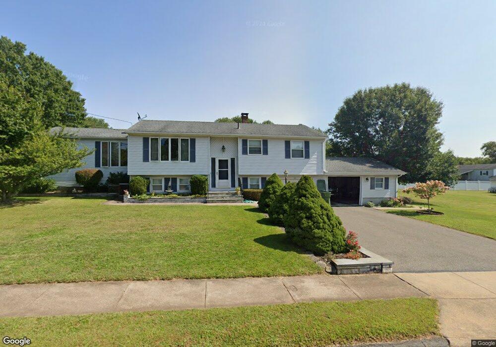
96 Azalea Dr Middletown, CT 06457
Westfield NeighborhoodEstimated Value: $343,000 - $385,000
3
Beds
2
Baths
1,380
Sq Ft
$263/Sq Ft
Est. Value
About This Home
This home is located at 96 Azalea Dr, Middletown, CT 06457 and is currently estimated at $363,586, approximately $263 per square foot. 96 Azalea Dr is a home located in Middlesex County with nearby schools including St John Paul II School.
Ownership History
Date
Name
Owned For
Owner Type
Purchase Details
Closed on
Jul 30, 2021
Sold by
Aresco Benito and Aresco Betty A
Bought by
995 Llc
Current Estimated Value
Home Financials for this Owner
Home Financials are based on the most recent Mortgage that was taken out on this home.
Original Mortgage
$450,000
Outstanding Balance
$407,677
Interest Rate
2.8%
Mortgage Type
Purchase Money Mortgage
Estimated Equity
-$44,091
Purchase Details
Closed on
Jun 21, 2012
Sold by
Aresco Benito
Bought by
Aresco Benito and Aresco Betty A
Purchase Details
Closed on
Dec 20, 1968
Bought by
Aresco Benito and Aresco Betty Ann
Create a Home Valuation Report for This Property
The Home Valuation Report is an in-depth analysis detailing your home's value as well as a comparison with similar homes in the area
Home Values in the Area
Average Home Value in this Area
Purchase History
| Date | Buyer | Sale Price | Title Company |
|---|---|---|---|
| 995 Llc | $260,000 | None Available | |
| Aresco Benito | -- | -- | |
| Aresco Benito | -- | -- |
Source: Public Records
Mortgage History
| Date | Status | Borrower | Loan Amount |
|---|---|---|---|
| Open | 995 Llc | $450,000 |
Source: Public Records
Tax History Compared to Growth
Tax History
| Year | Tax Paid | Tax Assessment Tax Assessment Total Assessment is a certain percentage of the fair market value that is determined by local assessors to be the total taxable value of land and additions on the property. | Land | Improvement |
|---|---|---|---|---|
| 2025 | $7,323 | $188,240 | $78,770 | $109,470 |
| 2024 | $6,927 | $188,240 | $78,770 | $109,470 |
| 2023 | $6,607 | $188,240 | $78,770 | $109,470 |
| 2022 | $6,207 | $141,070 | $52,510 | $88,560 |
| 2021 | $6,207 | $141,070 | $52,510 | $88,560 |
| 2020 | $6,235 | $141,070 | $52,510 | $88,560 |
| 2019 | $6,264 | $141,070 | $52,510 | $88,560 |
| 2018 | $6,165 | $141,070 | $52,510 | $88,560 |
| 2017 | $7,266 | $171,360 | $58,120 | $113,240 |
| 2016 | $7,060 | $171,360 | $58,120 | $113,240 |
| 2015 | $6,786 | $171,360 | $58,120 | $113,240 |
| 2014 | $6,854 | $171,360 | $58,120 | $113,240 |
Source: Public Records
Map
Nearby Homes
- 85 Aspen Dr
- 94 Cynthia Ln Unit D-5
- 145 Webster Ln Unit 2-41
- 137 Webster Ln Unit 2-42
- 122 Nejako Dr
- 123 Webster Ln
- 134 Webster Ln Unit 2-15
- 128 Webster Ln
- 27 Valley Dr
- 30 Hemlock Place
- 80 Birchwood Dr
- 36 Brookview Ln
- 180 Bailey Rd
- 10 Talias Trail
- 59 Willow Bee Ln
- 17 Flynn Ln
- 59 Westfield Terrace
- 404 Newfield St
- 82 Westfield Terrace
- 136 Westfield St