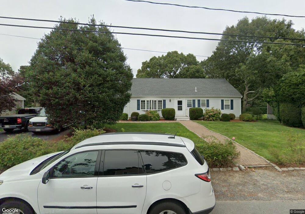
96 Captain Lothrop Rd South Yarmouth, MA 02664
Estimated Value: $650,485 - $699,000
3
Beds
2
Baths
1,801
Sq Ft
$376/Sq Ft
Est. Value
About This Home
This home is located at 96 Captain Lothrop Rd, South Yarmouth, MA 02664 and is currently estimated at $676,621, approximately $375 per square foot. 96 Captain Lothrop Rd is a home located in Barnstable County with nearby schools including Dennis-Yarmouth Regional High School and St. Pius X. School.
Ownership History
Date
Name
Owned For
Owner Type
Purchase Details
Closed on
Oct 29, 1999
Sold by
Healy Thomas P and Healy Nora T
Bought by
Wolaszek William L and Wolaszek Linda M
Current Estimated Value
Home Financials for this Owner
Home Financials are based on the most recent Mortgage that was taken out on this home.
Original Mortgage
$104,000
Interest Rate
7.78%
Mortgage Type
Purchase Money Mortgage
Create a Home Valuation Report for This Property
The Home Valuation Report is an in-depth analysis detailing your home's value as well as a comparison with similar homes in the area
Home Values in the Area
Average Home Value in this Area
Purchase History
| Date | Buyer | Sale Price | Title Company |
|---|---|---|---|
| Wolaszek William L | $155,000 | -- |
Source: Public Records
Mortgage History
| Date | Status | Borrower | Loan Amount |
|---|---|---|---|
| Open | Wolaszek William L | $230,000 | |
| Closed | Wolaszek William L | $70,000 | |
| Closed | Wolaszek William L | $104,000 | |
| Closed | Wolaszek William L | $104,000 |
Source: Public Records
Tax History Compared to Growth
Tax History
| Year | Tax Paid | Tax Assessment Tax Assessment Total Assessment is a certain percentage of the fair market value that is determined by local assessors to be the total taxable value of land and additions on the property. | Land | Improvement |
|---|---|---|---|---|
| 2025 | $4,009 | $566,200 | $107,100 | $459,100 |
| 2024 | $3,708 | $502,400 | $90,600 | $411,800 |
| 2023 | $3,680 | $453,700 | $78,400 | $375,300 |
| 2022 | $3,599 | $392,000 | $71,300 | $320,700 |
| 2021 | $3,487 | $364,800 | $71,300 | $293,500 |
| 2020 | $3,293 | $329,300 | $71,300 | $258,000 |
| 2019 | $3,009 | $297,900 | $71,300 | $226,600 |
| 2018 | $2,956 | $287,300 | $60,700 | $226,600 |
| 2017 | $2,853 | $284,700 | $58,100 | $226,600 |
| 2016 | $2,788 | $279,400 | $52,800 | $226,600 |
| 2015 | $2,673 | $266,200 | $52,800 | $213,400 |
Source: Public Records
Map
Nearby Homes
- 338 Forest Rd
- 76 Captain Chase Rd
- 75 Captain York Rd
- 72 Quartermaster Row
- 147 Captain Bacon Rd
- 30 Quartermaster Row
- 55 Lower Brook Rd
- 33 Sparrow Way
- 38 Autumn Dr
- 255 Long Pond Dr
- 105 Webbers Path
- 24 Fast Brook Rd
- 0 Forsyth Ave
- 17 Trowbridge Path
- 9 Victory Ln
- 490 W Yarmouth Rd
- 17 Merganser Ln
- 26 Grouse Ln
- 10 Lake Rd E
- 102 Captain Lothrop Rd
- 90 Captain Lothrop Rd
- 90 Capt Lothrop Rd
- 55 Captain Besse Rd
- 61 Capt Besse Rd
- 49 Captain Besse Rd
- 61 Captain Besse Rd
- 3 Captain Blount Rd
- 86 Capt Lothrop Rd
- 2 Captain Dore Rd
- 106 Capt Lothrop
- 106 Captain Lothrop Rd
- 86 Captain Lothrop Rd
- 106 Capt Lothrop Rd
- 2 Capt Dore
- 2 Captain Blount Rd
- 45 Captain Besse Rd
- 65 Captain Besse Rd
- 45 Capt Besse Rd
- 14 Capt Blount Rd