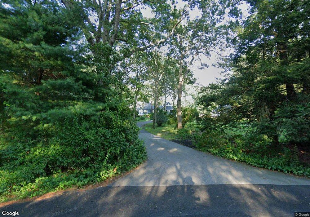
96 Carrs Pond Rd West Greenwich, RI 02817
Tillinghast NeighborhoodEstimated Value: $710,568 - $817,000
4
Beds
3
Baths
2,544
Sq Ft
$306/Sq Ft
Est. Value
About This Home
This home is located at 96 Carrs Pond Rd, West Greenwich, RI 02817 and is currently estimated at $778,392, approximately $305 per square foot. 96 Carrs Pond Rd is a home located in Kent County with nearby schools including Mildred E. Lineham School, Metcalf School, and Wawaloam School.
Ownership History
Date
Name
Owned For
Owner Type
Purchase Details
Closed on
Jan 2, 2013
Sold by
Teoli William R and Teoli Elaine D
Bought by
Teoli Jonathan R and Teoli Karen L
Current Estimated Value
Home Financials for this Owner
Home Financials are based on the most recent Mortgage that was taken out on this home.
Original Mortgage
$248,000
Outstanding Balance
$172,274
Interest Rate
3.35%
Estimated Equity
$606,118
Purchase Details
Closed on
Mar 15, 2007
Sold by
Moberg Patricia A
Bought by
Teoli Willam R and Teoli Elaine D
Create a Home Valuation Report for This Property
The Home Valuation Report is an in-depth analysis detailing your home's value as well as a comparison with similar homes in the area
Home Values in the Area
Average Home Value in this Area
Purchase History
| Date | Buyer | Sale Price | Title Company |
|---|---|---|---|
| Teoli Jonathan R | $310,000 | -- | |
| Teoli Willam R | $385,000 | -- |
Source: Public Records
Mortgage History
| Date | Status | Borrower | Loan Amount |
|---|---|---|---|
| Open | Teoli Willam R | $248,000 |
Source: Public Records
Tax History Compared to Growth
Tax History
| Year | Tax Paid | Tax Assessment Tax Assessment Total Assessment is a certain percentage of the fair market value that is determined by local assessors to be the total taxable value of land and additions on the property. | Land | Improvement |
|---|---|---|---|---|
| 2024 | $8,586 | $536,600 | $184,900 | $351,700 |
| 2023 | $9,711 | $396,200 | $144,800 | $251,400 |
| 2022 | $8,564 | $349,400 | $144,800 | $204,600 |
| 2021 | $8,396 | $349,400 | $144,800 | $204,600 |
| 2020 | $8,312 | $349,400 | $144,800 | $204,600 |
| 2019 | $8,827 | $365,200 | $144,800 | $220,400 |
| 2018 | $7,123 | $300,600 | $127,300 | $173,300 |
| 2017 | $6,779 | $300,600 | $127,300 | $173,300 |
| 2016 | $6,594 | $292,400 | $115,600 | $176,800 |
| 2015 | $6,594 | $292,400 | $115,600 | $176,800 |
| 2013 | $6,641 | $294,500 | $121,000 | $173,500 |
Source: Public Records
Map
Nearby Homes
- 50 Carrs Pond Rd
- 13 Pine Grove Ln
- 11 Cedar Ridge Ln
- 21 Cedar Ridge Ln
- 25 Westfield Dr
- 2500 Division Rd
- 20 Mcpartland Way
- 10 Mcpartland Way
- 1901 Village Green Cir
- 19 Hampton Rd Unit 69
- 32 Wescott Way Unit 53
- 40 Wescott Way Unit 57
- 15 Hampton Rd Unit 20
- 1 Hampton Rd Unit 27
- 60 Pheasant Dr
- 50 Pheasant Dr
- 35 Beech Crest Rd
- 25 Wescott Way Unit 80
- 12 Whittier Dr
- 12 Longbow Dr
- 0 Deer Run Dr
- 104 Carrs Pond Rd
- 6 Deer Run Dr
- 2 Deer Run Dr
- 95 Carrs Pond Rd
- 126 Carrs Pond Rd
- 8 Deer Run Dr
- 89 Carrs Pond Rd
- 3 Deer Run Dr
- 80 Carrs Pond Rd
- 81 Carrs Pond Rd
- 70 Carrs Pond Rd
- 19 Terrace Dr
- 73 Carrs Pond Rd
- 23 Deer Run Dr
- 65 Carrs Pond Rd
- 30 Deer Run Dr
- 29 Terrace Dr
- 79 Buck Hollow Dr
- 10 Terrace Dr