96 Greenleaf Trail Gilford, NH 03249
Estimated Value: $473,000 - $584,000
3
Beds
2
Baths
1,248
Sq Ft
$417/Sq Ft
Est. Value
About This Home
This home is located at 96 Greenleaf Trail, Gilford, NH 03249 and is currently estimated at $520,694, approximately $417 per square foot. 96 Greenleaf Trail is a home located in Belknap County with nearby schools including Gilford Elementary School, Gilford Middle School, and Gilford High School.
Ownership History
Date
Name
Owned For
Owner Type
Purchase Details
Closed on
Jul 24, 2025
Sold by
Pletch Linda M
Bought by
Mcgee Pletch Ret and Mcgee
Current Estimated Value
Purchase Details
Closed on
Mar 25, 2002
Sold by
Leland Elbridge C
Bought by
Pletch Linda M
Home Financials for this Owner
Home Financials are based on the most recent Mortgage that was taken out on this home.
Original Mortgage
$104,400
Interest Rate
6.91%
Create a Home Valuation Report for This Property
The Home Valuation Report is an in-depth analysis detailing your home's value as well as a comparison with similar homes in the area
Home Values in the Area
Average Home Value in this Area
Purchase History
| Date | Buyer | Sale Price | Title Company |
|---|---|---|---|
| Mcgee Pletch Ret | -- | -- | |
| Mcgee Pletch Ret | -- | -- | |
| Pletch Linda M | $26,000 | -- | |
| Pletch Linda M | $26,000 | -- |
Source: Public Records
Mortgage History
| Date | Status | Borrower | Loan Amount |
|---|---|---|---|
| Previous Owner | Pletch Linda M | $104,400 |
Source: Public Records
Tax History Compared to Growth
Tax History
| Year | Tax Paid | Tax Assessment Tax Assessment Total Assessment is a certain percentage of the fair market value that is determined by local assessors to be the total taxable value of land and additions on the property. | Land | Improvement |
|---|---|---|---|---|
| 2024 | $4,809 | $427,450 | $125,350 | $302,100 |
| 2023 | $4,403 | $427,450 | $125,350 | $302,100 |
| 2022 | $3,556 | $290,320 | $54,420 | $235,900 |
| 2021 | $3,565 | $290,320 | $54,420 | $235,900 |
| 2020 | $3,600 | $239,490 | $46,190 | $193,300 |
| 2019 | $3,598 | $226,830 | $40,330 | $186,500 |
| 2018 | $3,397 | $199,340 | $40,540 | $158,800 |
| 2017 | $3,441 | $199,340 | $40,540 | $158,800 |
| 2016 | $3,581 | $199,510 | $50,810 | $148,700 |
| 2015 | $3,404 | $189,420 | $44,220 | $145,200 |
| 2011 | $3,249 | $175,160 | $49,960 | $125,200 |
Source: Public Records
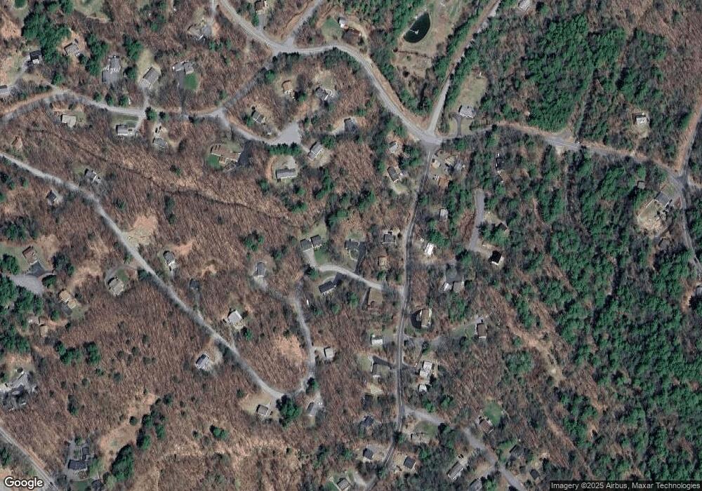
Map
Nearby Homes
- 55 White Birch Dr
- 4 Cheshire Cir
- 22 Silver St
- 9 Chestnut Dr
- 12 Balsam Dr
- 18 Balsam Dr
- 214 Sagamore Rd
- 56 Foxglove Rd
- 26 Chalet Dr
- 102 Curtis Rd
- 252 Chestnut Dr
- 235 Chestnut Dr
- 14 Curtis Rd
- 235 Cumberland Rd
- 39 Deer Run Ln
- 197 Scenic Dr Unit 3
- 663 Cherry Valley Rd Unit 311
- 90 Briarcliff Rd
- 134 Chestnut Dr
- 1 Woodbridge Lsp Rd
- 98 Greenleaf Trail
- 124 White Birch Dr
- 91 Greenleaf Trail
- 92 Greenleaf Trail
- 132 White Birch Dr
- 99 Greenleaf Trail
- 123 White Birch Dr
- 13 Auburn Cir
- 88 Greenleaf Trail
- 127 White Birch Dr
- 15 Auburn Cir
- 106 White Birch Dr
- 106 White Birch Dr Unit 31
- 107 Silver St
- 111 White Birch Dr
- 131 White Birch Dr
- 3 Brookside Cir
- 19 Auburn Cir
- 102 White Birch Dr
- 135 White Birch Dr