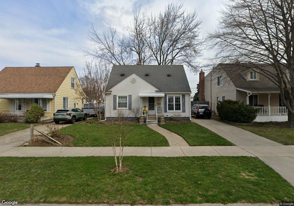
96 Massoit St Clawson, MI 48017
Estimated Value: $218,555 - $282,000
3
Beds
1
Bath
950
Sq Ft
$264/Sq Ft
Est. Value
About This Home
This home is located at 96 Massoit St, Clawson, MI 48017 and is currently estimated at $251,139, approximately $264 per square foot. 96 Massoit St is a home located in Oakland County with nearby schools including Clawson Middle School, Clawson High School, and Guardian Angels School.
Ownership History
Date
Name
Owned For
Owner Type
Purchase Details
Closed on
Apr 22, 2025
Sold by
Fabry Steven
Bought by
Fabry Melinda and Fabry Steven
Current Estimated Value
Home Financials for this Owner
Home Financials are based on the most recent Mortgage that was taken out on this home.
Original Mortgage
$192,877
Outstanding Balance
$191,501
Interest Rate
6.67%
Mortgage Type
FHA
Estimated Equity
$59,638
Purchase Details
Closed on
Aug 10, 1999
Sold by
Fabry Margaret
Bought by
Fabry Margaret
Create a Home Valuation Report for This Property
The Home Valuation Report is an in-depth analysis detailing your home's value as well as a comparison with similar homes in the area
Home Values in the Area
Average Home Value in this Area
Purchase History
| Date | Buyer | Sale Price | Title Company |
|---|---|---|---|
| Fabry Melinda | -- | Amrock | |
| Fabry Margaret | -- | -- |
Source: Public Records
Mortgage History
| Date | Status | Borrower | Loan Amount |
|---|---|---|---|
| Open | Fabry Melinda | $192,877 |
Source: Public Records
Tax History
| Year | Tax Paid | Tax Assessment Tax Assessment Total Assessment is a certain percentage of the fair market value that is determined by local assessors to be the total taxable value of land and additions on the property. | Land | Improvement |
|---|---|---|---|---|
| 2025 | $2,224 | $96,180 | $0 | $0 |
| 2024 | $2,125 | $91,960 | $0 | $0 |
| 2023 | $2,850 | $82,300 | $0 | $0 |
| 2022 | $2,827 | $76,190 | $0 | $0 |
| 2021 | $2,761 | $70,930 | $0 | $0 |
| 2020 | $2,689 | $66,190 | $0 | $0 |
| 2019 | $2,740 | $62,690 | $0 | $0 |
| 2018 | $2,699 | $58,590 | $0 | $0 |
| 2017 | $2,682 | $56,100 | $0 | $0 |
| 2016 | $2,023 | $52,040 | $0 | $0 |
| 2015 | -- | $47,850 | $0 | $0 |
| 2014 | -- | $41,970 | $0 | $0 |
| 2011 | -- | $38,340 | $0 | $0 |
Source: Public Records
Map
Nearby Homes
- 44 W Tacoma St
- 45 E Tacoma St
- 101 Jefferson Ave
- 421 W Sunnybrook Dr
- 135 Gerald Ave
- 428 Bauman Ave
- 515 S Marias Ave
- 602 Millard Ave
- 3813 Rochester Rd Unit 2
- 608 Amelia Ave
- 618 Mount Vernon Blvd
- 3319 N Washington Ave
- 124 E Windemere Ave
- 917 Kenwood St
- 911 Kenwood St
- 909 Kenwood St
- 918 Kenwood St
- 206 E Windemere Ave
- 125 E 13 Mile Rd
- 609 John M Ave
Your Personal Tour Guide
Ask me questions while you tour the home.