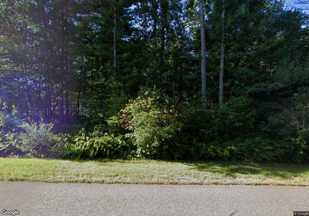
96 Peterson Rd Grand Rapids, MN 55744
Estimated Value: $143,000 - $487,000
--
Bed
--
Bath
4,860
Sq Ft
$49/Sq Ft
Est. Value
About This Home
This home is located at 96 Peterson Rd, Grand Rapids, MN 55744 and is currently estimated at $239,641, approximately $49 per square foot. 96 Peterson Rd is a home with nearby schools including Forest Lake Elementary School, Robert J. Elkington Middle School, and Grand Rapids Senior High School.
Ownership History
Date
Name
Owned For
Owner Type
Purchase Details
Closed on
Oct 26, 2020
Sold by
Longrie Linda and Peterson Dennis C
Bought by
Dg Service & Rental Llc
Current Estimated Value
Home Financials for this Owner
Home Financials are based on the most recent Mortgage that was taken out on this home.
Original Mortgage
$80,000
Outstanding Balance
$2,858
Interest Rate
2.9%
Mortgage Type
Commercial
Estimated Equity
$236,783
Create a Home Valuation Report for This Property
The Home Valuation Report is an in-depth analysis detailing your home's value as well as a comparison with similar homes in the area
Home Values in the Area
Average Home Value in this Area
Purchase History
| Date | Buyer | Sale Price | Title Company |
|---|---|---|---|
| Dg Service & Rental Llc | $125,000 | None Available | |
| Longrie Linda | $60,000 | None Available |
Source: Public Records
Mortgage History
| Date | Status | Borrower | Loan Amount |
|---|---|---|---|
| Open | Dg Service & Rental Llc | $80,000 |
Source: Public Records
Tax History Compared to Growth
Tax History
| Year | Tax Paid | Tax Assessment Tax Assessment Total Assessment is a certain percentage of the fair market value that is determined by local assessors to be the total taxable value of land and additions on the property. | Land | Improvement |
|---|---|---|---|---|
| 2024 | $1,740 | $114,200 | $45,400 | $68,800 |
| 2023 | $1,740 | $114,200 | $45,400 | $68,800 |
| 2022 | $1,296 | $84,900 | $24,900 | $60,000 |
| 2021 | $1,122 | $69,400 | $19,300 | $50,100 |
| 2020 | $1,166 | $59,400 | $19,300 | $40,100 |
| 2019 | $1,142 | $59,400 | $19,300 | $40,100 |
| 2018 | $1,000 | $59,400 | $19,300 | $40,100 |
| 2017 | $1,022 | $0 | $0 | $0 |
| 2016 | $982 | $0 | $0 | $0 |
| 2015 | $966 | $0 | $0 | $0 |
| 2014 | -- | $0 | $0 | $0 |
Source: Public Records
Map
Nearby Homes
- 4075 Minnesota 38
- TBD Knollwood Dr
- 521 NW 13th St
- 1032 NW 3rd Ave
- 914 NW 3rd Ave
- 729 NW 3rd Ave
- 711 NW 7th St
- 712 NW 8th Ave
- 2481 Deschepper Dr
- 523 NW 5th Ave
- 28917 Babbo Ln
- 523 NW 6th Ave
- 8th Ave NW 8th St
- 705 NE 6th Ave
- 504 NW 8th Ave
- 823 NW 5th St
- 516 NE 3rd Ave
- 2712 Alice St
- TBD NE 6th Ave
- 604 NW 16th Ave
- 140 Peterson Rd
- 3341 State Highway 38
- 137 Peterson Rd
- 3325 State Highway 38
- 85 Peterson Rd
- 41 Peterson Rd
- 63 Peterson Rd
- 3301 State Highway 38
- 3301 State Highway 38
- 3301 State Highway 38
- 143 Peterson Rd
- 3551 State Highway 38
- 3551 Minnesota 38
- 153 Peterson Rd
- 185 Peterson Rd
- 3621 State Highway 38
- 3061 State Highway 38
- 229 Peterson Rd
- 3651 State Highway 38
- 910043302 Hwy 38 N
