96 Shoreland Path Teaticket, MA 02536
Teaticket NeighborhoodEstimated Value: $524,241 - $692,000
2
Beds
2
Baths
1,352
Sq Ft
$441/Sq Ft
Est. Value
About This Home
This home is located at 96 Shoreland Path, Teaticket, MA 02536 and is currently estimated at $595,560, approximately $440 per square foot. 96 Shoreland Path is a home located in Barnstable County with nearby schools including Teaticket Elementary School, Morse Pond School, and Lawrence School.
Ownership History
Date
Name
Owned For
Owner Type
Purchase Details
Closed on
Nov 25, 1991
Sold by
Beattie Edward L and Beattie Grace Terry
Bought by
Eagon Frances L
Current Estimated Value
Home Financials for this Owner
Home Financials are based on the most recent Mortgage that was taken out on this home.
Original Mortgage
$108,500
Interest Rate
8.7%
Mortgage Type
Purchase Money Mortgage
Create a Home Valuation Report for This Property
The Home Valuation Report is an in-depth analysis detailing your home's value as well as a comparison with similar homes in the area
Home Values in the Area
Average Home Value in this Area
Purchase History
| Date | Buyer | Sale Price | Title Company |
|---|---|---|---|
| Eagon Frances L | $167,500 | -- |
Source: Public Records
Mortgage History
| Date | Status | Borrower | Loan Amount |
|---|---|---|---|
| Open | Eagon Frances L | $70,750 | |
| Closed | Eagon Frances L | $108,500 | |
| Closed | Eagon Frances L | $108,500 |
Source: Public Records
Tax History Compared to Growth
Tax History
| Year | Tax Paid | Tax Assessment Tax Assessment Total Assessment is a certain percentage of the fair market value that is determined by local assessors to be the total taxable value of land and additions on the property. | Land | Improvement |
|---|---|---|---|---|
| 2025 | $2,762 | $470,600 | $0 | $470,600 |
| 2024 | $2,609 | $415,500 | $0 | $415,500 |
| 2023 | $2,690 | $388,800 | $0 | $388,800 |
| 2022 | $2,597 | $322,600 | $0 | $322,600 |
| 2021 | $2,533 | $298,000 | $0 | $298,000 |
| 2020 | $2,560 | $298,000 | $0 | $298,000 |
| 2019 | $2,507 | $292,900 | $0 | $292,900 |
| 2018 | $2,302 | $267,700 | $0 | $267,700 |
| 2017 | $2,373 | $278,200 | $0 | $278,200 |
| 2016 | $2,329 | $278,200 | $0 | $278,200 |
| 2015 | $2,278 | $278,200 | $0 | $278,200 |
| 2014 | $2,327 | $285,500 | $0 | $285,500 |
Source: Public Records
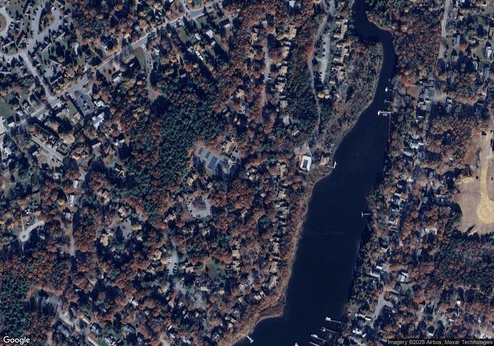
Map
Nearby Homes
- 144 Strawberry Meadow Unit 144
- 144 Strawberry Meadows
- Lot 7 Sailaway Ln
- 3 Sailaway Ln
- 14 Avalon Dr
- 6 Sailaway Ln
- 49 Saint Marks Rd
- Lot 6 Sailaway Ln
- 90 E Harbor Dr
- 87 Acapesket Rd Unit 3B
- 87 Acapesket Rd Unit 3A
- 49 Rivers End Rd
- 71 Seabrook Dr
- 9 Theroux Dr
- 33 John Parker Rd
- 45 Green Pond Rd
- 66 Braxton Rd
- 16 Edgewood Dr
- 25 Mill Pond Way
- 32 Jamie Ln
- 106 Shoreland Path
- 106 Shoreland Path Unit 24-4
- 111 Shoreland Path
- 112 Shoreland Path
- 112 Shoreland Path Unit 112
- 113 Shoreland Path
- 113 Shoreland Path Unit 113
- 97 Shoreland Path
- 98 Shoreland Path
- 98 Shoreland Path Unit 98
- 98 Shoreland Path Unit 21-1
- 33 Sandy Reach
- 34 Sandy Reach
- 34 Sandy Reach Unit 34
- 34 Sandy Reach Unit 33-1
- 227 Southwest Meadows Unit 227
- 261 Seaward Bend
- 262 Seaward Bend
- 258 Seaward Bend
- 260 Seaward Bend