96 Stickney Hill Rd Concord, NH 03301
South End NeighborhoodEstimated Value: $428,000 - $571,000
3
Beds
1
Bath
1,695
Sq Ft
$287/Sq Ft
Est. Value
About This Home
This home is located at 96 Stickney Hill Rd, Concord, NH 03301 and is currently estimated at $486,909, approximately $287 per square foot. 96 Stickney Hill Rd is a home located in Merrimack County with nearby schools including Abbot-Downing School, Rundlett Middle School, and Concord High School.
Ownership History
Date
Name
Owned For
Owner Type
Purchase Details
Closed on
Sep 3, 1997
Sold by
Simcox Douglas L and Simcox Laura E
Bought by
Martin Steve D
Current Estimated Value
Home Financials for this Owner
Home Financials are based on the most recent Mortgage that was taken out on this home.
Original Mortgage
$94,400
Interest Rate
7.36%
Mortgage Type
Purchase Money Mortgage
Create a Home Valuation Report for This Property
The Home Valuation Report is an in-depth analysis detailing your home's value as well as a comparison with similar homes in the area
Home Values in the Area
Average Home Value in this Area
Purchase History
| Date | Buyer | Sale Price | Title Company |
|---|---|---|---|
| Martin Steve D | $118,000 | -- |
Source: Public Records
Mortgage History
| Date | Status | Borrower | Loan Amount |
|---|---|---|---|
| Open | Martin Steve D | $137,000 | |
| Closed | Martin Steve D | $127,000 | |
| Closed | Martin Steve D | $94,400 |
Source: Public Records
Tax History Compared to Growth
Tax History
| Year | Tax Paid | Tax Assessment Tax Assessment Total Assessment is a certain percentage of the fair market value that is determined by local assessors to be the total taxable value of land and additions on the property. | Land | Improvement |
|---|---|---|---|---|
| 2024 | $7,961 | $287,500 | $123,000 | $164,500 |
| 2023 | $7,722 | $287,500 | $123,000 | $164,500 |
| 2022 | $7,443 | $287,500 | $123,000 | $164,500 |
| 2021 | $7,152 | $284,700 | $123,300 | $161,400 |
| 2020 | $6,628 | $247,700 | $97,600 | $150,100 |
| 2019 | $6,312 | $227,200 | $91,200 | $136,000 |
| 2018 | $6,230 | $221,000 | $84,300 | $136,700 |
| 2017 | $5,947 | $210,600 | $84,300 | $126,300 |
| 2016 | $5,786 | $209,100 | $84,300 | $124,800 |
| 2015 | $5,449 | $193,600 | $70,200 | $123,400 |
| 2014 | $5,190 | $193,600 | $70,200 | $123,400 |
| 2013 | -- | $199,400 | $70,200 | $129,200 |
| 2012 | -- | $204,700 | $66,700 | $138,000 |
Source: Public Records
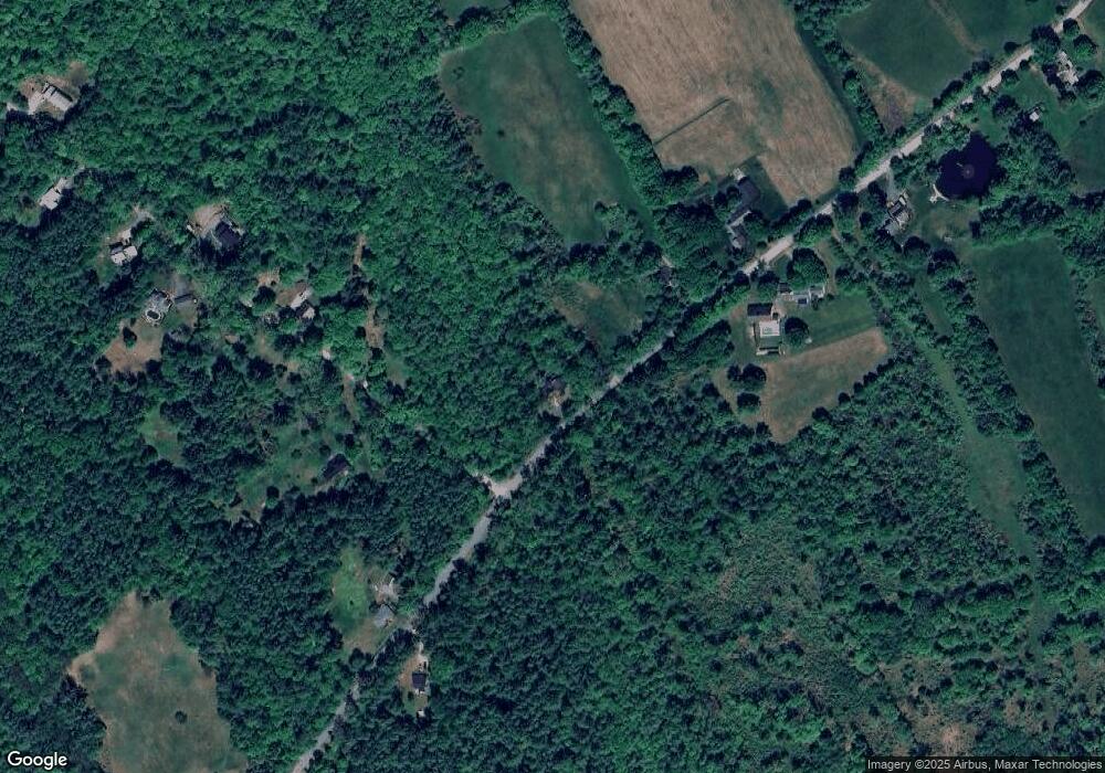
Map
Nearby Homes
- 465 Clinton St
- 0 Farrington Corner Rd Unit 14
- I3-03-05 Clinton St
- 27 Brushwood Dr
- 0 George Rd Unit 30
- 7 Currier Rd
- 256-0-17 Jewett Rd
- 490 Page Rd
- 250 Grapevine Rd
- 8 Longview Dr
- 6 Woodland Cir
- 70 Gile Hill Rd
- 1 Kensington Rd
- 2 Kensington Rd
- 541 South Rd
- 15 Wilson Ave
- 77 White Rock Hill Rd
- 40 Sawmill Rd
- 40 N Woods Rd
- 0 Brown Hill Rd Unit 5032600
- 00 Stickney Hill Rd
- 0 Upper Straw Rd
- 000 Lower Straw Rd
- 90 Stickney Hill Rd
- 70 Lower Straw Rd
- 31 Lower Straw Rd
- 31 Lower Straw Rd
- 85 Stickney Hill Rd
- 258 Stickney Hill Rd
- 112 Lower Straw Rd
- 79 Lower Straw Rd
- 261 Stickney Hill Rd
- 77 Stickney Hill Rd
- 95 Lower Straw Rd
- 115 Lower Straw Rd
- 0000 Lower Straw Rd
- 328 Stickney Hill Rd
- 135 Lower Straw Rd
- 156 Lower Straw Rd
- 69 Stickney Hill Rd