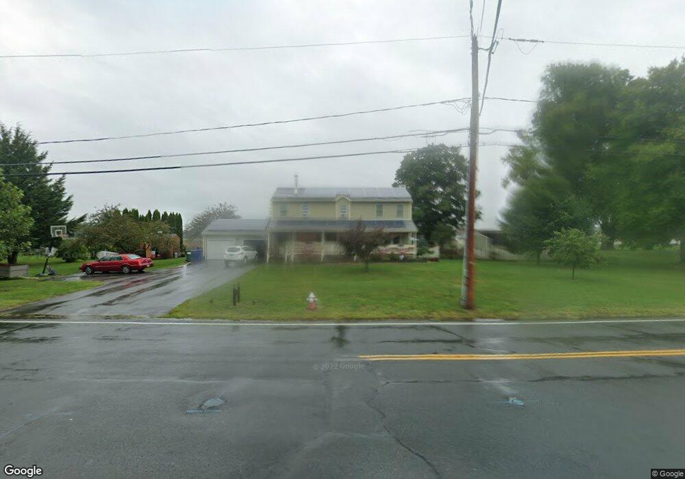
96 Stockbridge St Hadley, MA 01035
Estimated Value: $647,000 - $764,000
2
Beds
3
Baths
2,750
Sq Ft
$255/Sq Ft
Est. Value
About This Home
This home is located at 96 Stockbridge St, Hadley, MA 01035 and is currently estimated at $701,714, approximately $255 per square foot. 96 Stockbridge St is a home located in Hampshire County with nearby schools including Hadley Elementary School, Hopkins Academy, and Pioneer Valley Chinese Immersion Charter School.
Ownership History
Date
Name
Owned For
Owner Type
Purchase Details
Closed on
Feb 16, 2018
Sold by
Young James P
Bought by
Young James P and Young Emma
Current Estimated Value
Purchase Details
Closed on
Sep 26, 2016
Sold by
Hug Ellen C
Bought by
Young James P
Purchase Details
Closed on
Jun 6, 2007
Sold by
Young James P
Bought by
Young James P and Young Emma
Create a Home Valuation Report for This Property
The Home Valuation Report is an in-depth analysis detailing your home's value as well as a comparison with similar homes in the area
Home Values in the Area
Average Home Value in this Area
Purchase History
| Date | Buyer | Sale Price | Title Company |
|---|---|---|---|
| Young James P | -- | -- | |
| Young James P | -- | -- | |
| Young James P | -- | -- | |
| Young James P | -- | -- | |
| Young James P | -- | -- | |
| Young James P | -- | -- |
Source: Public Records
Tax History Compared to Growth
Tax History
| Year | Tax Paid | Tax Assessment Tax Assessment Total Assessment is a certain percentage of the fair market value that is determined by local assessors to be the total taxable value of land and additions on the property. | Land | Improvement |
|---|---|---|---|---|
| 2025 | $6,013 | $517,000 | $131,800 | $385,200 |
| 2024 | $5,772 | $506,800 | $131,800 | $375,000 |
| 2023 | $5,523 | $478,600 | $131,800 | $346,800 |
| 2022 | $5,051 | $414,700 | $131,800 | $282,900 |
| 2021 | $4,909 | $409,100 | $131,800 | $277,300 |
| 2020 | $4,974 | $389,200 | $131,800 | $257,400 |
| 2019 | $4,811 | $389,200 | $131,800 | $257,400 |
| 2018 | $4,705 | $389,200 | $131,800 | $257,400 |
| 2017 | $4,435 | $383,300 | $131,800 | $251,500 |
| 2016 | $4,274 | $383,300 | $131,800 | $251,500 |
| 2015 | $4,163 | $383,300 | $131,800 | $251,500 |
| 2014 | $4,078 | $383,300 | $131,800 | $251,500 |
Source: Public Records
Map
Nearby Homes
- 7 Roosevelt St
- 12 Moorland St
- 24 Moorland St
- 5 Amity Place
- 0 S Sunset Ave
- 256 River Dr
- 24 S Sunset Ave
- 18 N Prospect St
- 204 River Dr
- 394 River Dr
- 66 Harlow Dr
- 13 Harlow Dr
- 185 Cherry Ln
- 60 Red Gate Ln
- 24 Greenleaves Dr Unit 406
- 24 Greenleaves Dr Unit 402
- 24 Greenleaves Dr Unit 411
- 24 Greenleaves Dr Unit 436
- 27 Greenleaves Dr Unit 703
- 75 State St
- 98 Stockbridge Rd
- 2 Mill River Ln
- 94 Stockbridge St
- 101 Stockbridge St
- 3 Mill River Ln
- 103 Stockbridge St
- 92 Stockbridge St
- 92 Stockbridge St
- 93 Stockbridge Rd
- 105 Roosevelt St
- 105 Stockbridge Rd
- 6 Mill River Ln
- 91 Stockbridge St
- 107 Stockbridge Rd
- 90 Stockbridge Rd
- 88 Stockbridge St
- 107 Roosevelt St
- 89 Stockbridge St
- 89 Stockbridge St
- 57 Roosevelt St