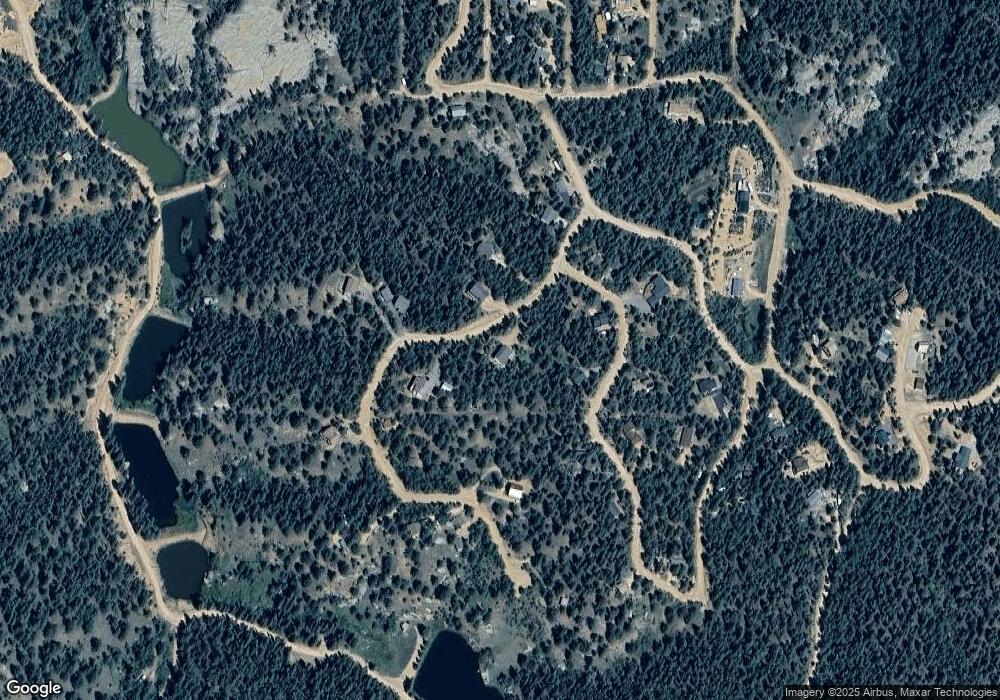
96 Wahsatch Rd Florissant, CO 80816
Estimated Value: $649,146 - $755,000
3
Beds
3
Baths
2,073
Sq Ft
$337/Sq Ft
Est. Value
About This Home
This home is located at 96 Wahsatch Rd, Florissant, CO 80816 and is currently estimated at $698,287, approximately $336 per square foot. 96 Wahsatch Rd is a home located in Teller County with nearby schools including Woodland Park Junior/Senior High School and Merit Academy.
Ownership History
Date
Name
Owned For
Owner Type
Purchase Details
Closed on
Mar 17, 2021
Sold by
Husby Gordon D and Husby Kimberly P
Bought by
Western Sky Homes Llc
Current Estimated Value
Purchase Details
Closed on
Jun 12, 2007
Sold by
Garcia Novar M
Bought by
Husby Gordon D and Husby Kimberly P
Purchase Details
Closed on
Aug 12, 1995
Bought by
Husby Gordon D and Husby Kimberly P
Purchase Details
Closed on
Dec 10, 1994
Bought by
Husby Gordon D and Husby Kimberly P
Purchase Details
Closed on
Oct 17, 1994
Bought by
Husby Gordon D and Husby Kimberly P
Create a Home Valuation Report for This Property
The Home Valuation Report is an in-depth analysis detailing your home's value as well as a comparison with similar homes in the area
Home Values in the Area
Average Home Value in this Area
Purchase History
| Date | Buyer | Sale Price | Title Company |
|---|---|---|---|
| Western Sky Homes Llc | $22,000 | Unified Title Co | |
| Husby Gordon D | $20,000 | Multiple | |
| Husby Gordon D | -- | -- | |
| Husby Gordon D | $14,000 | -- | |
| Husby Gordon D | $8,000 | -- |
Source: Public Records
Tax History Compared to Growth
Tax History
| Year | Tax Paid | Tax Assessment Tax Assessment Total Assessment is a certain percentage of the fair market value that is determined by local assessors to be the total taxable value of land and additions on the property. | Land | Improvement |
|---|---|---|---|---|
| 2024 | $2,219 | $35,680 | $1,634 | $34,046 |
| 2023 | $2,219 | $35,680 | $1,630 | $34,050 |
| 2022 | $1,435 | $25,600 | $1,200 | $24,400 |
| 2021 | $280 | $23,429 | $4,990 | $18,439 |
| 2020 | $274 | $4,990 | $4,990 | $0 |
| 2019 | $271 | $4,990 | $0 | $0 |
| 2018 | $143 | $2,550 | $0 | $0 |
| 2017 | $143 | $2,550 | $0 | $0 |
| 2016 | $135 | $2,400 | $0 | $0 |
| 2015 | $152 | $2,400 | $0 | $0 |
| 2014 | $278 | $4,340 | $0 | $0 |
Source: Public Records
Map
Nearby Homes
- 104 Mount Elbert Dr
- 71 Mount Elbert Dr
- 747 Trout Haven Rd
- 399 Saguache Dr
- 126 Saguache Dr
- 204 Kutsu Ridge Rd
- 358 Pawutsy Rd
- 485 Donzi Trail
- 510 Banner Trail
- 396 Mohawk Heights
- 112 Denwood Dr
- 133 Sildona Trail
- 17 and 33 Deer Ridge Trail
- 166 Denwood Dr
- 156 Sildona Trail
- 148 Banner Trail
- 192 Silbani Ln
- 29 Dusti Cir
- 192 Silbani Trail
- 67 Gerka Ln
