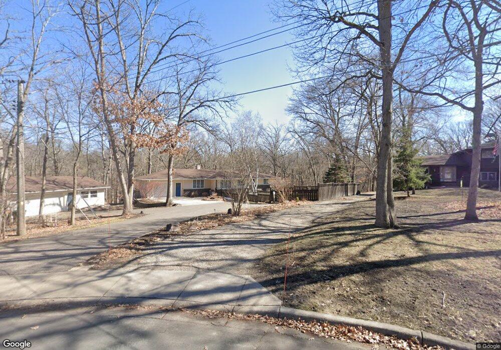
960 87th Ave NW Coon Rapids, MN 55433
Estimated Value: $402,000 - $468,000
3
Beds
2
Baths
1,449
Sq Ft
$292/Sq Ft
Est. Value
About This Home
This home is located at 960 87th Ave NW, Coon Rapids, MN 55433 and is currently estimated at $422,638, approximately $291 per square foot. 960 87th Ave NW is a home located in Anoka County with nearby schools including Adams Elementary School, Coon Rapids Middle School, and Coon Rapids Senior High School.
Ownership History
Date
Name
Owned For
Owner Type
Purchase Details
Closed on
Jul 7, 2007
Sold by
Olson Randall Lee and Olson Barbara J
Bought by
Olson Scott Martin and Olson Joan Elaine
Current Estimated Value
Home Financials for this Owner
Home Financials are based on the most recent Mortgage that was taken out on this home.
Original Mortgage
$239,920
Interest Rate
6.71%
Mortgage Type
New Conventional
Create a Home Valuation Report for This Property
The Home Valuation Report is an in-depth analysis detailing your home's value as well as a comparison with similar homes in the area
Home Values in the Area
Average Home Value in this Area
Purchase History
| Date | Buyer | Sale Price | Title Company |
|---|---|---|---|
| Olson Scott Martin | $299,900 | -- |
Source: Public Records
Mortgage History
| Date | Status | Borrower | Loan Amount |
|---|---|---|---|
| Closed | Olson Scott Martin | $239,920 |
Source: Public Records
Tax History
| Year | Tax Paid | Tax Assessment Tax Assessment Total Assessment is a certain percentage of the fair market value that is determined by local assessors to be the total taxable value of land and additions on the property. | Land | Improvement |
|---|---|---|---|---|
| 2025 | $4,381 | $421,400 | $117,800 | $303,600 |
| 2024 | $4,381 | $411,600 | $113,700 | $297,900 |
| 2023 | $4,000 | $375,700 | $113,900 | $261,800 |
| 2022 | $3,946 | $403,800 | $101,700 | $302,100 |
| 2021 | $3,724 | $354,500 | $101,700 | $252,800 |
| 2020 | $3,700 | $328,300 | $89,600 | $238,700 |
| 2019 | $3,556 | $313,300 | $82,000 | $231,300 |
| 2018 | $3,346 | $293,400 | $0 | $0 |
| 2017 | $3,066 | $269,200 | $0 | $0 |
| 2016 | $3,065 | $239,200 | $0 | $0 |
| 2015 | -- | $239,200 | $68,400 | $170,800 |
| 2014 | -- | $177,300 | $57,000 | $120,300 |
Source: Public Records
Map
Nearby Homes
- 8456 Mississippi Blvd NW
- 8701 Norway St NW
- 678 86th Ln NW Unit 11
- 8807 Norway St NW
- 691 85th Ln NW Unit 7
- 8420 Palm St NW
- 8436 Palm St NW
- 602 84th Ln NW
- 9217 W River Rd
- 571 Ironton St NE
- 565 Hugo St NE
- 601 Glencoe St NE
- 1650 89th Ave N
- 548 Fairmont St NE
- 2013 91st Ln N
- 614 Cheryl St NE
- 9905 Russell Ave N Unit 2
- 7998 E River Rd
- 2700 94th Ave N
- 9656 Thomas Ave N
- 1000 87th Ave NW
- 8751 Tamarack St NW
- 8770 Tamarack St NW
- 1010 87th Ave NW
- 941 87th Ln NW
- 953 87th Ln NW
- 961 87th Ln NW
- 950 88th Ave NW
- 1020 87th Ave NW
- 931 87th Ln NW
- 940 88th Ave NW
- 1000 88th Ave NW
- 924 86th Ln NW
- 1030 87th Ave NW
- 923 87th Ln NW
- 8709 Mississippi Blvd NW
- 1010 88th Ave NW
- 944 87th Ln NW
- 908 86th Ln NW
- 963 86th Ave NW
Your Personal Tour Guide
Ask me questions while you tour the home.