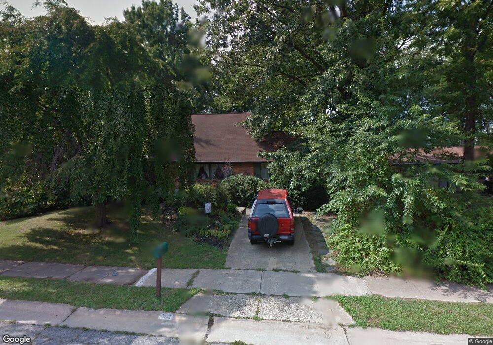
960 Devon Dr Newark, DE 19711
Estimated Value: $335,000 - $431,000
4
Beds
2
Baths
2,022
Sq Ft
$200/Sq Ft
Est. Value
About This Home
This home is located at 960 Devon Dr, Newark, DE 19711 and is currently estimated at $404,189, approximately $199 per square foot. 960 Devon Dr is a home located in New Castle County with nearby schools including West Park Place Elementary School, Shue-Medill Middle School, and Newark High School.
Ownership History
Date
Name
Owned For
Owner Type
Purchase Details
Closed on
Dec 19, 2017
Sold by
Ostheimer David R and Bradley Michael T
Bought by
Solan Barry N and Solan Anneew
Current Estimated Value
Purchase Details
Closed on
Oct 22, 2003
Sold by
Adams Lawrence A and Toomey Janice H
Bought by
Solan Barry N and Solan Anne W
Home Financials for this Owner
Home Financials are based on the most recent Mortgage that was taken out on this home.
Original Mortgage
$129,750
Interest Rate
6.05%
Mortgage Type
Purchase Money Mortgage
Create a Home Valuation Report for This Property
The Home Valuation Report is an in-depth analysis detailing your home's value as well as a comparison with similar homes in the area
Home Values in the Area
Average Home Value in this Area
Purchase History
| Date | Buyer | Sale Price | Title Company |
|---|---|---|---|
| Solan Barry N | -- | None Available | |
| Solan Barry N | $173,000 | -- |
Source: Public Records
Mortgage History
| Date | Status | Borrower | Loan Amount |
|---|---|---|---|
| Previous Owner | Solan Barry N | $129,750 |
Source: Public Records
Tax History
| Year | Tax Paid | Tax Assessment Tax Assessment Total Assessment is a certain percentage of the fair market value that is determined by local assessors to be the total taxable value of land and additions on the property. | Land | Improvement |
|---|---|---|---|---|
| 2024 | $339 | $64,100 | $17,300 | $46,800 |
| 2023 | $661 | $64,100 | $17,300 | $46,800 |
| 2022 | $648 | $64,100 | $17,300 | $46,800 |
| 2021 | $1,834 | $64,100 | $17,300 | $46,800 |
| 2020 | $1,770 | $64,100 | $17,300 | $46,800 |
| 2019 | $1,502 | $64,100 | $17,300 | $46,800 |
| 2018 | $1,858 | $64,100 | $17,300 | $46,800 |
| 2017 | $1,803 | $64,100 | $17,300 | $46,800 |
| 2016 | $1,798 | $64,100 | $17,300 | $46,800 |
| 2015 | $1,612 | $64,100 | $17,300 | $46,800 |
| 2014 | $1,611 | $64,100 | $17,300 | $46,800 |
Source: Public Records
Map
Nearby Homes
- 306 Willa Rd
- 126 Manns Ave
- 30 Julie Ln
- 57 W Park Place
- 153 King William St Unit 153
- 117 W Shetland Ct
- 313 Chickory Way
- 2 Michigan State Dr
- 48 Arizona State Dr
- 105 Tanglewood Ln
- 710 S College Ave
- 716 S College Ave
- 289 W Chestnut Hill Rd
- 803 Del Grove Ave
- 84 Welsh Tract Rd Unit 311
- 28 Buttercup Cir
- 76 Welsh Tract Rd Unit 308
- 317 Cannons Way
- 69 Mule Deer Ct
- 25 Glyn Dr
- 962 Devon Dr
- 958 Devon Dr
- 959 Alexandria Dr
- 957 Alexandria Dr
- 956 Devon Dr
- 961 Alexandria Dr
- 965 Alexandria Dr
- 963 Alexandria Dr
- 959 Devon Dr
- 955 Alexandria Dr
- 957 Devon Dr
- 961 Devon Dr
- 955 Devon Dr
- 954 Devon Dr
- 953 Alexandria Dr
- 963 Devon Dr
- 953 Devon Dr
- 952 Devon Dr
- 951 Alexandria Dr
- 37 Cornwall Dr
Your Personal Tour Guide
Ask me questions while you tour the home.