Estimated Value: $222,000 - $350,000
--
Bed
--
Bath
1,818
Sq Ft
$170/Sq Ft
Est. Value
About This Home
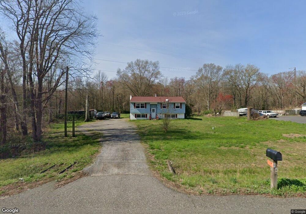
This home is located at 960 Hawks Bridge Rd, Salem, NJ 08079 and is currently estimated at $308,345, approximately $169 per square foot. 960 Hawks Bridge Rd is a home located in Salem County with nearby schools including Mannington Township School.
Ownership History
Date
Name
Owned For
Owner Type
Purchase Details
Closed on
Sep 21, 2005
Sold by
Loveland Robert N and Moncrief Diana K
Bought by
Loveland Robert N and Loveland Diana K
Current Estimated Value
Home Financials for this Owner
Home Financials are based on the most recent Mortgage that was taken out on this home.
Original Mortgage
$193,500
Interest Rate
5.84%
Mortgage Type
New Conventional
Create a Home Valuation Report for This Property
The Home Valuation Report is an in-depth analysis detailing your home's value as well as a comparison with similar homes in the area
Home Values in the Area
Average Home Value in this Area
Purchase History
| Date | Buyer | Sale Price | Title Company |
|---|---|---|---|
| Loveland Robert N | -- | -- |
Source: Public Records
Mortgage History
| Date | Status | Borrower | Loan Amount |
|---|---|---|---|
| Closed | Loveland Robert N | $193,500 |
Source: Public Records
Tax History Compared to Growth
Tax History
| Year | Tax Paid | Tax Assessment Tax Assessment Total Assessment is a certain percentage of the fair market value that is determined by local assessors to be the total taxable value of land and additions on the property. | Land | Improvement |
|---|---|---|---|---|
| 2025 | $6,474 | $186,200 | $38,800 | $147,400 |
| 2024 | $6,428 | $186,200 | $38,800 | $147,400 |
| 2023 | $6,428 | $186,200 | $38,800 | $147,400 |
| 2022 | $6,456 | $186,200 | $38,800 | $147,400 |
| 2021 | $5,943 | $186,200 | $38,800 | $147,400 |
| 2020 | $5,921 | $186,200 | $38,800 | $147,400 |
| 2019 | $5,765 | $186,200 | $38,800 | $147,400 |
| 2018 | $5,500 | $186,200 | $38,800 | $147,400 |
| 2017 | $5,353 | $186,200 | $38,800 | $147,400 |
| 2016 | $5,081 | $186,200 | $38,800 | $147,400 |
| 2015 | $4,698 | $186,200 | $38,800 | $147,400 |
| 2014 | $4,553 | $186,200 | $38,800 | $147,400 |
Source: Public Records
Map
Nearby Homes
- 12 Hawks Bridge Rd
- 824 Hawks Bridge Rd
- 17 Sportsman Rd
- 367 (01) Highway 40 W
- 78 A N Hook Rd
- 0 N Hook Rd Unit NJSA2014846
- 613 Hawks Bridge Rd
- 371 40 Route
- 609 Hawks Bridge Rd
- 371 Route 40
- 298 N Hook Rd
- 604 Hawks Bridge Rd
- 6 Sunset Ave
- 9 Sunset Ave
- 1045 Route 40
- 1 Victory Ave Unit 84
- 1 Victory Ave Unit 82
- 1 Victory Ave Unit 74
- 1 Victory Ave Unit 72
- 1 Victory Ave Unit 8
- 954 Hawks Bridge Rd
- 964 Hawks Bridge Rd
- 974 Hawks Bridge Rd
- 40 Marshalltown Rd
- 42 Marshalltown Rd
- 39 Marshalltown Rd
- 21 Marshalltown Rd
- 324 Pointers Auburn Rd Unit 326
- 320 Pointers Auburn Rd
- 893 Hawks Bridge Rd
- 887 Hawks Bridge Rd
- 882 Hawks Bridge Rd
- 22 Roosevelt Ave
- 19 Roosevelt Ave
- 876 Hawks Bridge Rd
- 7 Roosevelt Ave
- 873 Hawks Bridge Rd
- 275 Pointers Auburn Rd
- 182 Haines Neck Rd
- 186 Haines Neck Rd