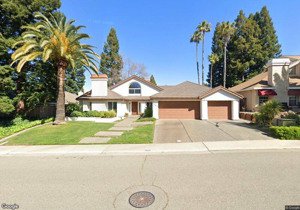
960 Keith Dr Roseville, CA 95661
Cirby Side NeighborhoodEstimated Value: $663,000 - $889,000
4
Beds
3
Baths
2,874
Sq Ft
$281/Sq Ft
Est. Value
About This Home
This home is located at 960 Keith Dr, Roseville, CA 95661 and is currently estimated at $808,669, approximately $281 per square foot. 960 Keith Dr is a home located in Placer County with nearby schools including George Sargeant Elementary School, Warren T. Eich Middle School, and Oakmont High School.
Ownership History
Date
Name
Owned For
Owner Type
Purchase Details
Closed on
Sep 14, 2011
Sold by
Manning Jeffrey J and Manning Diane E
Bought by
Manning Jeffrey J
Current Estimated Value
Purchase Details
Closed on
Jul 18, 1997
Sold by
Griffin Deborah J
Bought by
Manning Jeffrey J
Home Financials for this Owner
Home Financials are based on the most recent Mortgage that was taken out on this home.
Original Mortgage
$256,500
Interest Rate
7.7%
Create a Home Valuation Report for This Property
The Home Valuation Report is an in-depth analysis detailing your home's value as well as a comparison with similar homes in the area
Home Values in the Area
Average Home Value in this Area
Purchase History
| Date | Buyer | Sale Price | Title Company |
|---|---|---|---|
| Manning Jeffrey J | -- | None Available | |
| Manning Jeffrey J | -- | None Available | |
| Manning Jeffrey J | $285,000 | First American Title Co |
Source: Public Records
Mortgage History
| Date | Status | Borrower | Loan Amount |
|---|---|---|---|
| Previous Owner | Manning Jeffrey J | $256,500 |
Source: Public Records
Tax History
| Year | Tax Paid | Tax Assessment Tax Assessment Total Assessment is a certain percentage of the fair market value that is determined by local assessors to be the total taxable value of land and additions on the property. | Land | Improvement |
|---|---|---|---|---|
| 2025 | $4,588 | $455,043 | $136,507 | $318,536 |
| 2023 | $4,588 | $437,375 | $131,207 | $306,168 |
| 2022 | $4,513 | $428,800 | $128,635 | $300,165 |
| 2021 | $4,408 | $420,393 | $126,113 | $294,280 |
| 2020 | $4,394 | $416,083 | $124,820 | $291,263 |
| 2019 | $4,335 | $407,925 | $122,373 | $285,552 |
| 2018 | $4,170 | $399,927 | $119,974 | $279,953 |
| 2017 | $4,124 | $392,086 | $117,622 | $274,464 |
| 2016 | $4,155 | $384,399 | $115,316 | $269,083 |
| 2015 | $4,073 | $378,626 | $113,584 | $265,042 |
| 2014 | $4,011 | $371,211 | $111,360 | $259,851 |
Source: Public Records
Map
Nearby Homes
- 1201 Havenhill Ct
- 8232 Patton Ave
- 1104 Reef Ct
- 8325 Holly Dr
- 1001 Cirby Way
- 1364 Sun Tree Dr
- 1369 Sun Tree Dr
- 8166 Patton Ave
- 231 Live Oak Cir Unit 2
- 115 Valley Oak Dr
- 7445 Auburn Oaks Ct Unit H
- 7569 Baird Way
- 1333 Stonebridge Way
- 7437 Auburn Oaks Ct Unit E
- 7441 Auburn Oaks Ct Unit G
- 1318 Rolling Hills Dr
- 1387 Greenborough Dr
- 7417 Auburn Oaks Ct Unit H
- 7560 Baird Way
- 7401 Auburn Oaks Ct Unit Q
Your Personal Tour Guide
Ask me questions while you tour the home.