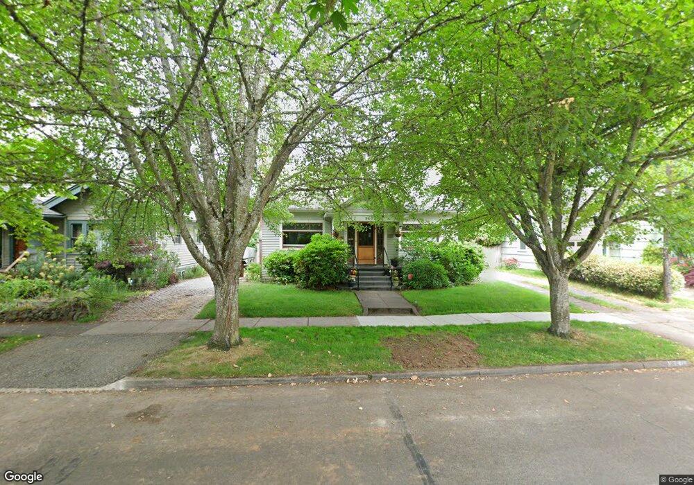
960 Madison St Eugene, OR 97402
Jefferson Westside NeighborhoodEstimated Value: $625,000 - $760,000
4
Beds
3
Baths
2,863
Sq Ft
$246/Sq Ft
Est. Value
About This Home
This home is located at 960 Madison St, Eugene, OR 97402 and is currently estimated at $704,327, approximately $246 per square foot. 960 Madison St is a home located in Lane County with nearby schools including River Road/El Camino del Río Elementary School, Kelly Middle School, and North Eugene High School.
Ownership History
Date
Name
Owned For
Owner Type
Purchase Details
Closed on
Aug 15, 2020
Sold by
Hankins Frank W and Kaufman Deborah
Bought by
Hankins Frank William and Kaufman Deborah
Current Estimated Value
Purchase Details
Closed on
Jun 13, 2013
Sold by
Montgomery Rebecca S and Montgomery Thomas M
Bought by
Hankins Frank W and Kaufman Deborah
Home Financials for this Owner
Home Financials are based on the most recent Mortgage that was taken out on this home.
Original Mortgage
$85,000
Outstanding Balance
$59,960
Interest Rate
3.38%
Mortgage Type
New Conventional
Estimated Equity
$644,367
Purchase Details
Closed on
Apr 2, 1998
Sold by
Adams Theodore R
Bought by
Andrews Rebecca S
Home Financials for this Owner
Home Financials are based on the most recent Mortgage that was taken out on this home.
Original Mortgage
$82,500
Interest Rate
7%
Mortgage Type
Seller Take Back
Create a Home Valuation Report for This Property
The Home Valuation Report is an in-depth analysis detailing your home's value as well as a comparison with similar homes in the area
Home Values in the Area
Average Home Value in this Area
Purchase History
| Date | Buyer | Sale Price | Title Company |
|---|---|---|---|
| Hankins Frank William | -- | None Available | |
| Hankins Frank W | $365,000 | Cascade Title Company | |
| Andrews Rebecca S | $102,500 | Key Title Company |
Source: Public Records
Mortgage History
| Date | Status | Borrower | Loan Amount |
|---|---|---|---|
| Open | Hankins Frank W | $85,000 | |
| Previous Owner | Andrews Rebecca S | $82,500 |
Source: Public Records
Tax History
| Year | Tax Paid | Tax Assessment Tax Assessment Total Assessment is a certain percentage of the fair market value that is determined by local assessors to be the total taxable value of land and additions on the property. | Land | Improvement |
|---|---|---|---|---|
| 2025 | $5,521 | $283,353 | -- | -- |
| 2024 | $5,452 | $275,100 | -- | -- |
| 2023 | $5,452 | $267,088 | -- | -- |
| 2022 | $5,108 | $259,309 | $0 | $0 |
| 2021 | $4,797 | $251,757 | $0 | $0 |
| 2020 | $4,814 | $244,425 | $0 | $0 |
| 2019 | $4,650 | $237,306 | $0 | $0 |
| 2018 | $4,377 | $223,684 | $0 | $0 |
| 2017 | $4,181 | $223,684 | $0 | $0 |
| 2016 | $4,077 | $217,169 | $0 | $0 |
| 2015 | $3,960 | $210,844 | $0 | $0 |
| 2014 | $3,880 | $204,703 | $0 | $0 |
Source: Public Records
Map
Nearby Homes
- 710 W 11th Ave
- 650 W 12th Ave Unit 102
- 1275 Jefferson St
- 470 W Broadway
- 996 W 8th Ave
- 1071 W 11th Ave
- 1034 Lawrence St
- 960 W 7th Ave
- 990 W 7th Ave
- 537 W 14th Ave
- 780 Van Buren St
- 577 Madison St
- 561 577 Madison St
- 561 Madison St
- 710 Van Buren St
- 527 Monroe St
- 1230 W 7th Ave
- 1030 W 5th Ave
- 1313 Lincoln St Unit 503
- 1313 Lincoln St Unit 1005
Your Personal Tour Guide
Ask me questions while you tour the home.