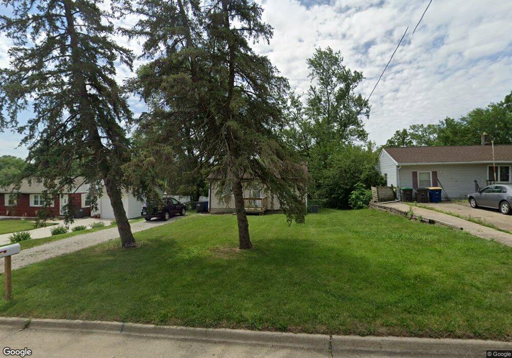
960 Mason Ave Des Moines, IA 50315
Watrous South NeighborhoodEstimated Value: $126,304 - $169,000
3
Beds
1
Bath
1,050
Sq Ft
$144/Sq Ft
Est. Value
About This Home
This home is located at 960 Mason Ave, Des Moines, IA 50315 and is currently estimated at $150,826, approximately $143 per square foot. 960 Mason Ave is a home located in Polk County with nearby schools including Morris Elementary School, Mccombs Middle School, and Lincoln High School.
Ownership History
Date
Name
Owned For
Owner Type
Purchase Details
Closed on
Feb 23, 2021
Sold by
8035 Development Llc
Bought by
Ppdsm Llc
Current Estimated Value
Purchase Details
Closed on
Jan 4, 2021
Sold by
Konstruct Pros Llc
Bought by
Ppdsm Llc
Purchase Details
Closed on
Jul 13, 2020
Sold by
8035 Development Llc
Bought by
Konstruct Pros Llc
Home Financials for this Owner
Home Financials are based on the most recent Mortgage that was taken out on this home.
Original Mortgage
$37,500
Interest Rate
3.2%
Mortgage Type
Land Contract Argmt. Of Sale
Purchase Details
Closed on
Jul 10, 2020
Sold by
Simmons Lael M
Bought by
8035 Development Llc
Home Financials for this Owner
Home Financials are based on the most recent Mortgage that was taken out on this home.
Original Mortgage
$37,500
Interest Rate
3.2%
Mortgage Type
Land Contract Argmt. Of Sale
Create a Home Valuation Report for This Property
The Home Valuation Report is an in-depth analysis detailing your home's value as well as a comparison with similar homes in the area
Home Values in the Area
Average Home Value in this Area
Purchase History
| Date | Buyer | Sale Price | Title Company |
|---|---|---|---|
| Ppdsm Llc | $47,500 | None Listed On Document | |
| Ppdsm Llc | $47,500 | None Listed On Document | |
| Ppdsm Llc | -- | None Available | |
| Konstruct Pros Llc | $47,500 | None Available | |
| 8035 Development Llc | $39,000 | None Available |
Source: Public Records
Mortgage History
| Date | Status | Borrower | Loan Amount |
|---|---|---|---|
| Previous Owner | Konstruct Pros Llc | $37,500 |
Source: Public Records
Tax History Compared to Growth
Tax History
| Year | Tax Paid | Tax Assessment Tax Assessment Total Assessment is a certain percentage of the fair market value that is determined by local assessors to be the total taxable value of land and additions on the property. | Land | Improvement |
|---|---|---|---|---|
| 2025 | $2,388 | $137,900 | $37,400 | $100,500 |
| 2024 | $2,388 | $121,400 | $32,500 | $88,900 |
| 2023 | $2,426 | $121,400 | $32,500 | $88,900 |
| 2022 | $2,406 | $102,900 | $27,900 | $75,000 |
| 2021 | $2,072 | $102,900 | $27,900 | $75,000 |
| 2020 | $2,146 | $91,600 | $24,500 | $67,100 |
| 2019 | $1,932 | $91,600 | $24,500 | $67,100 |
| 2018 | $1,906 | $80,400 | $21,200 | $59,200 |
| 2017 | $1,844 | $80,400 | $21,200 | $59,200 |
| 2016 | $1,792 | $76,700 | $19,800 | $56,900 |
| 2015 | $1,792 | $76,700 | $19,800 | $56,900 |
| 2014 | $1,674 | $74,300 | $18,800 | $55,500 |
Source: Public Records
Map
Nearby Homes
- 1010 Amos Ave
- 7460 Southview Dr
- 1115 Wade St
- 7500 SW 12th St
- 1115 Rittenhouse St
- 1306 Amos Ave
- 1334 Wade St
- 1029 Bundy St
- 1161 Bundy St
- 1313 Burnham Ave
- 7306 SW 16th St
- 1225 West St
- 7910 SE 1st Ct
- 154 Crossroads Dr
- 1310 Leland Ave
- 6204 SW 5th St
- 7807 SE 2nd St
- 8046 Crestview Dr
- 6107 SW 14th St
- 1500 Leland Ave