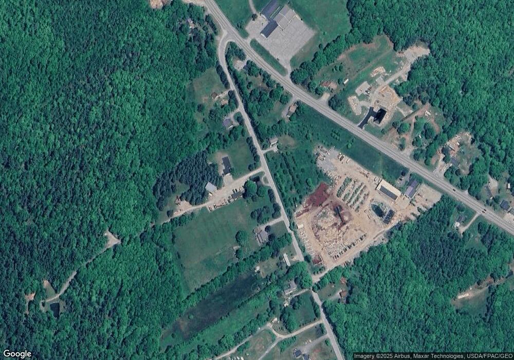
960 Red Bridge Rd Ellsworth, ME 04605
Estimated Value: $309,000 - $597,000
5
Beds
2
Baths
2,744
Sq Ft
$166/Sq Ft
Est. Value
About This Home
This home is located at 960 Red Bridge Rd, Ellsworth, ME 04605 and is currently estimated at $456,648, approximately $166 per square foot. 960 Red Bridge Rd is a home located in Hancock County with nearby schools including Sumner Memorial High School.
Ownership History
Date
Name
Owned For
Owner Type
Purchase Details
Closed on
Mar 18, 2013
Sold by
Chisholm Francis W and Chisholm Kendra A
Bought by
Chisholm Francis W and Chisholm Nathan F
Current Estimated Value
Create a Home Valuation Report for This Property
The Home Valuation Report is an in-depth analysis detailing your home's value as well as a comparison with similar homes in the area
Purchase History
| Date | Buyer | Sale Price | Title Company |
|---|---|---|---|
| Chisholm Francis W | -- | -- |
Source: Public Records
Tax History
| Year | Tax Paid | Tax Assessment Tax Assessment Total Assessment is a certain percentage of the fair market value that is determined by local assessors to be the total taxable value of land and additions on the property. | Land | Improvement |
|---|---|---|---|---|
| 2024 | $5,878 | $336,875 | $57,250 | $279,625 |
| 2023 | $5,271 | $304,680 | $54,240 | $250,440 |
| 2022 | $4,783 | $304,680 | $54,240 | $250,440 |
| 2021 | $4,302 | $238,600 | $45,500 | $193,100 |
| 2020 | $4,456 | $237,400 | $45,900 | $191,500 |
| 2019 | $4,465 | $237,400 | $45,900 | $191,500 |
| 2018 | $4,330 | $237,400 | $45,900 | $191,500 |
| 2017 | $4,234 | $235,600 | $47,600 | $188,000 |
| 2016 | $4,137 | $234,000 | $46,000 | $188,000 |
| 2015 | $4,195 | $237,000 | $49,000 | $188,000 |
| 2014 | $3,899 | $237,000 | $49,000 | $188,000 |
| 2012 | $3,654 | $236,500 | $46,500 | $190,000 |
Source: Public Records
Map
Nearby Homes
- 948 Red Bridge Rd
- 837 Red Bridge Rd
- 844 Bangor Rd
- 934 Red Bridge Rd
- 967 Red Bridge Rd
- 858 Bangor Rd
- 841 Bangor Rd
- 931 Red Bridge Rd
- 978 Red Bridge Rd
- 872 Bangor Rd
- 809 Bangor Rd
- 930 Red Bridge Rd
- 800 Bangor Rd
- 908 Red Bridge Rd
- 915 Red Bridge Rd
- 784 Bangor Rd
- 869 Bangor Rd
- 883 Bangor Rd
- 791 Bangor Rd
- 786 Bangor Rd
Your Personal Tour Guide
Ask me questions while you tour the home.
