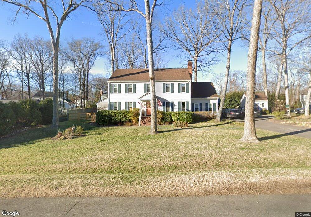
9600 Farr Ln North Chesterfield, VA 23235
Bon Air NeighborhoodEstimated Value: $537,563 - $615,000
4
Beds
3
Baths
2,458
Sq Ft
$241/Sq Ft
Est. Value
About This Home
This home is located at 9600 Farr Ln, North Chesterfield, VA 23235 and is currently estimated at $591,641, approximately $240 per square foot. 9600 Farr Ln is a home located in Chesterfield County with nearby schools including Bon Air Elementary School, Robious Middle School, and James River High School.
Ownership History
Date
Name
Owned For
Owner Type
Purchase Details
Closed on
Sep 18, 2019
Sold by
Deboer Catherine Branham
Bought by
Deboer Catherine Branham and The Catherine Branham Deboer T
Current Estimated Value
Create a Home Valuation Report for This Property
The Home Valuation Report is an in-depth analysis detailing your home's value as well as a comparison with similar homes in the area
Home Values in the Area
Average Home Value in this Area
Purchase History
| Date | Buyer | Sale Price | Title Company |
|---|---|---|---|
| Deboer Catherine Branham | -- | None Available | |
| Deboer Catherine Branham | -- | None Available |
Source: Public Records
Tax History Compared to Growth
Tax History
| Year | Tax Paid | Tax Assessment Tax Assessment Total Assessment is a certain percentage of the fair market value that is determined by local assessors to be the total taxable value of land and additions on the property. | Land | Improvement |
|---|---|---|---|---|
| 2025 | $4,396 | $491,100 | $115,000 | $376,100 |
| 2024 | $4,396 | $446,000 | $105,000 | $341,000 |
| 2023 | $3,650 | $401,100 | $100,000 | $301,100 |
| 2022 | $3,272 | $355,600 | $90,000 | $265,600 |
| 2021 | $3,270 | $337,300 | $82,000 | $255,300 |
| 2020 | $3,091 | $325,400 | $82,000 | $243,400 |
| 2019 | $2,993 | $315,100 | $80,000 | $235,100 |
| 2018 | $2,988 | $308,400 | $80,000 | $228,400 |
| 2017 | $2,996 | $306,900 | $80,000 | $226,900 |
| 2016 | $2,849 | $296,800 | $80,000 | $216,800 |
| 2015 | $2,788 | $287,800 | $71,000 | $216,800 |
| 2014 | $2,604 | $268,600 | $71,000 | $197,600 |
Source: Public Records
Map
Nearby Homes
- 3024 Williamswood Rd
- 2764 Williamswood Rd
- 2621 Cromwell Rd
- 2910 Wighton Dr
- 3013 Weymouth Dr
- 9911 Groundhog Dr
- 9737 Groundhog Dr
- 10394 Iron Mill Rd
- 10250 Maplested Ln
- 2103 Waters Mill Point
- 2930 Poyntelle Rd
- 9301 Carriage Stone Ct
- 2406 Trefoil Way
- 9455 Creek Summit Cir
- 8405 Forest Hill Ave
- 10551 Archer Springs Place
- 3416 Rivanna Dr
- 3500 Margate Dr
- 10403 Antwerp Rd
- 9479 Creek Summit Cir
- 9608 Farr Ln
- 2813 Williamswood Rd
- 3001 Williamswood Rd
- 9609 Farr Ln
- 2916 Williamswood Rd
- 2924 Williamswood Rd
- 2801 Williamswood Rd
- 2908 Williamswood Rd
- 9616 Farr Ln
- 3000 Williamswood Rd
- 2900 Williamswood Rd
- 2771 Williamswood Rd
- 3017 Williamswood Rd
- 3008 Williamswood Rd
- 9617 Farr Ln
- 2816 Williamswood Rd
- 2520 Brookwood Rd
- 9624 Farr Ln
- 2600 Brookwood Rd
- 2510 Brookwood Rd
