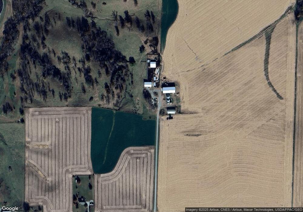
9600 Highway F48 W Colfax, IA 50054
Estimated Value: $317,000 - $469,413
3
Beds
2
Baths
1,500
Sq Ft
$250/Sq Ft
Est. Value
About This Home
This home is located at 9600 Highway F48 W, Colfax, IA 50054 and is currently estimated at $375,471, approximately $250 per square foot. 9600 Highway F48 W is a home located in Jasper County with nearby schools including Colfax-Mingo Elementary School and Colfax-Mingo High School.
Ownership History
Date
Name
Owned For
Owner Type
Purchase Details
Closed on
Feb 28, 2025
Sold by
Schlosser Wayne A
Bought by
Wayne A Schlosser Revocable Trust
Current Estimated Value
Purchase Details
Closed on
Jan 11, 2024
Sold by
Schlosser Wayne A and Schlosser Karen S
Bought by
Schlosser Wayne A and Schlosser Karen S
Create a Home Valuation Report for This Property
The Home Valuation Report is an in-depth analysis detailing your home's value as well as a comparison with similar homes in the area
Home Values in the Area
Average Home Value in this Area
Purchase History
| Date | Buyer | Sale Price | Title Company |
|---|---|---|---|
| Wayne A Schlosser Revocable Trust | -- | None Listed On Document | |
| Schlosser Wayne A | -- | None Listed On Document |
Source: Public Records
Tax History Compared to Growth
Tax History
| Year | Tax Paid | Tax Assessment Tax Assessment Total Assessment is a certain percentage of the fair market value that is determined by local assessors to be the total taxable value of land and additions on the property. | Land | Improvement |
|---|---|---|---|---|
| 2025 | $3,906 | $324,250 | $68,830 | $255,420 |
| 2024 | $3,906 | $282,350 | $53,220 | $229,130 |
| 2023 | $3,854 | $282,350 | $53,220 | $229,130 |
| 2022 | $3,336 | $219,900 | $39,870 | $180,030 |
| 2021 | $3,312 | $204,960 | $39,870 | $165,090 |
| 2020 | $3,312 | $191,160 | $41,070 | $150,090 |
| 2019 | $3,052 | $182,160 | $0 | $0 |
| 2018 | $3,052 | $182,160 | $0 | $0 |
| 2017 | $2,970 | $186,980 | $0 | $0 |
| 2016 | $2,970 | $186,980 | $0 | $0 |
| 2015 | $2,990 | $186,980 | $0 | $0 |
| 2014 | $2,766 | $186,980 | $0 | $0 |
Source: Public Records
Map
Nearby Homes
- 655 E Division St
- 400 S Goodrich St
- 20 S Oak Park Ave
- 624 S Goodrich St
- 520 S Oak Park Ave
- 0000 Lincoln St
- 226 S Iowa St
- 300 E Front St
- 222 E Broadway St
- 200 Jefferson St
- 1161 S Goodrich St
- 34 E Broadway St
- 108 S Walnut St
- 119 W Washington St
- 108 N West St
- 215 W Spring St
- 223 W Broadway St
- 501 W Broadway St
- HWY 117 at Intersection of Fleet Ave
- 11213 Orchard Ave
- 9708 Highway F48 W
- 9549 Highway F48 W
- 9549 Highway F48 W
- 9549 Highway F 48 W
- 9784 Highway F48 W Unit A
- 9784 Highway F48 W
- 9784 Highway F48 W
- 9411 Highway F48 W
- 9783 Highway F48 W
- 204 N League Rd
- 130 S League Rd
- 9889 Highway F48 W
- 124 S League Rd
- 122 S League Rd
- 126 S League Rd
- 120 S League Rd
- 2676 League Rd
- 100 S League Rd
- 2734 League Rd Unit A
- 2734 League Rd