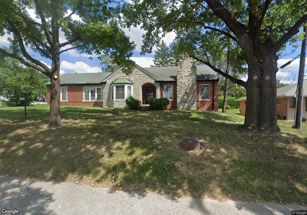
9600 Tesson Ferry Rd Saint Louis, MO 63123
Estimated Value: $309,000 - $354,146
1
Bed
2
Baths
2,302
Sq Ft
$144/Sq Ft
Est. Value
About This Home
This home is located at 9600 Tesson Ferry Rd, Saint Louis, MO 63123 and is currently estimated at $331,287, approximately $143 per square foot. 9600 Tesson Ferry Rd is a home located in St. Louis County with nearby schools including Mesnier Primary School, Gotsch Intermediate School, and Rogers Middle School.
Ownership History
Date
Name
Owned For
Owner Type
Purchase Details
Closed on
May 27, 2010
Sold by
Dohr Mary Sue and Dohr John Michael
Bought by
Eichhorst Richard A and Cohen Darlene
Current Estimated Value
Home Financials for this Owner
Home Financials are based on the most recent Mortgage that was taken out on this home.
Original Mortgage
$80,000
Interest Rate
5%
Mortgage Type
New Conventional
Create a Home Valuation Report for This Property
The Home Valuation Report is an in-depth analysis detailing your home's value as well as a comparison with similar homes in the area
Home Values in the Area
Average Home Value in this Area
Purchase History
| Date | Buyer | Sale Price | Title Company |
|---|---|---|---|
| Eichhorst Richard A | $172,000 | None Available |
Source: Public Records
Mortgage History
| Date | Status | Borrower | Loan Amount |
|---|---|---|---|
| Previous Owner | Eichhorst Richard A | $80,000 |
Source: Public Records
Tax History Compared to Growth
Tax History
| Year | Tax Paid | Tax Assessment Tax Assessment Total Assessment is a certain percentage of the fair market value that is determined by local assessors to be the total taxable value of land and additions on the property. | Land | Improvement |
|---|---|---|---|---|
| 2025 | $4,173 | $58,560 | $15,810 | $42,750 |
| 2024 | $4,173 | $51,510 | $11,420 | $40,090 |
| 2023 | $4,173 | $51,510 | $11,420 | $40,090 |
| 2022 | $4,437 | $48,580 | $12,290 | $36,290 |
| 2021 | $4,049 | $48,580 | $12,290 | $36,290 |
| 2020 | $3,559 | $39,810 | $9,370 | $30,440 |
| 2019 | $3,552 | $39,810 | $9,370 | $30,440 |
| 2018 | $3,675 | $36,420 | $8,680 | $27,740 |
| 2017 | $3,652 | $36,420 | $8,680 | $27,740 |
| 2016 | $3,151 | $33,390 | $9,580 | $23,810 |
| 2015 | $3,165 | $33,390 | $9,580 | $23,810 |
| 2014 | $3,112 | $32,680 | $6,800 | $25,880 |
Source: Public Records
Map
Nearby Homes
- 9723 Crayford Rd Unit 1B
- 8942 Eden Ave
- 9740 Bexley Station Dr
- 9744 Bexley Station Dr Unit 8J
- 9347 Mackenzie Rd
- 9313 Brenda Ave
- 9702 Sterling Place
- 9920 Casa Rosa Dr
- 6426 Judson Ave
- 8736 New Hampshire Ave
- 9405 Evandale Dr
- 9425 MacKenzie Circle Ct
- 9401 Pancho Dr
- 9928 Bonton Dr
- 9332 Cloverhurst Dr
- 9409 Alpine Dr
- 8740 Brenda Ave
- 9327 Cloverhurst Dr
- 9506 Sterling Place
- 9926 Mackenzie Rd
- 9608 Tesson Ferry Rd
- 9930 Affton Place
- 9939 Affton Place
- 9928 Affton Place
- 9616 Tesson Ferry Rd
- 9601 Tesson Ferry Rd
- 9931 Affton Place
- 9935 Vasel Dr
- 10001 Affton Place
- 9615 Tesson Ferry Rd
- 9925 Affton Place
- 9553 Tesson Ferry Rd
- 9929 Vasel Dr
- 9924 Affton Place
- 10010 Affton Place
- 10001 N Marlene Dr
- 9938 Coventry Ln
- 9930 Coventry Ln
- 9925 Vasel Dr
- 9921 Affton Place