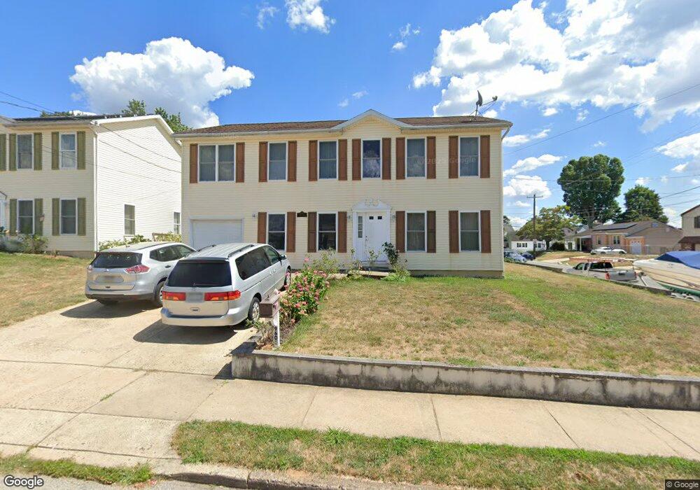
9601 Clark St Philadelphia, PA 19115
Bustleton NeighborhoodEstimated Value: $527,000 - $584,000
--
Bed
--
Bath
2,068
Sq Ft
$265/Sq Ft
Est. Value
About This Home
This home is located at 9601 Clark St, Philadelphia, PA 19115 and is currently estimated at $547,864, approximately $264 per square foot. 9601 Clark St is a home located in Philadelphia County with nearby schools including Frank Anne School, CCA Baldi Middle School, and George Washington High School.
Ownership History
Date
Name
Owned For
Owner Type
Purchase Details
Closed on
Sep 17, 2005
Sold by
Veneziale Joseph
Bought by
Annamma Philip John and Annamma John
Current Estimated Value
Home Financials for this Owner
Home Financials are based on the most recent Mortgage that was taken out on this home.
Original Mortgage
$296,000
Outstanding Balance
$157,065
Interest Rate
5.72%
Mortgage Type
Fannie Mae Freddie Mac
Estimated Equity
$390,799
Create a Home Valuation Report for This Property
The Home Valuation Report is an in-depth analysis detailing your home's value as well as a comparison with similar homes in the area
Home Values in the Area
Average Home Value in this Area
Purchase History
| Date | Buyer | Sale Price | Title Company |
|---|---|---|---|
| Annamma Philip John | $439,900 | None Available |
Source: Public Records
Mortgage History
| Date | Status | Borrower | Loan Amount |
|---|---|---|---|
| Open | Annamma Philip John | $296,000 |
Source: Public Records
Tax History Compared to Growth
Tax History
| Year | Tax Paid | Tax Assessment Tax Assessment Total Assessment is a certain percentage of the fair market value that is determined by local assessors to be the total taxable value of land and additions on the property. | Land | Improvement |
|---|---|---|---|---|
| 2025 | $5,477 | $500,600 | $100,120 | $400,480 |
| 2024 | $5,477 | $500,600 | $100,120 | $400,480 |
| 2023 | $5,477 | $391,300 | $78,260 | $313,040 |
| 2022 | $4,099 | $346,300 | $78,260 | $268,040 |
| 2021 | $4,729 | $0 | $0 | $0 |
| 2020 | $4,729 | $0 | $0 | $0 |
| 2019 | $4,528 | $0 | $0 | $0 |
| 2018 | $4,880 | $0 | $0 | $0 |
| 2017 | $4,880 | $0 | $0 | $0 |
| 2016 | $4,460 | $0 | $0 | $0 |
| 2015 | $2,141 | $0 | $0 | $0 |
| 2014 | -- | $348,600 | $122,010 | $226,590 |
| 2012 | -- | $119,680 | $12,480 | $107,200 |
Source: Public Records
Map
Nearby Homes
- 9527 Clark St
- 9618 Hoff St
- 9617 Hilspach St
- 9415 Evans St
- 1926 Beyer Ave
- 1907 Nester St
- 9366 Hoff St
- 2001 Beyer Ave
- 9712 Bustleton Ave Unit 8
- 9759 Clark St
- 2015 Welsh Rd Unit D50
- 9768 Cowden St
- 9782 Clark St
- 2089 Welsh Rd Unit F1
- 1700 Tracey St Unit A
- 2131 Welsh Rd Unit 312
- 2131 Welsh Rd Unit 315
- 217 Louis Ct Unit K217
- 9376 Neil Rd Unit A
- 9310 Jamison Ave Unit B