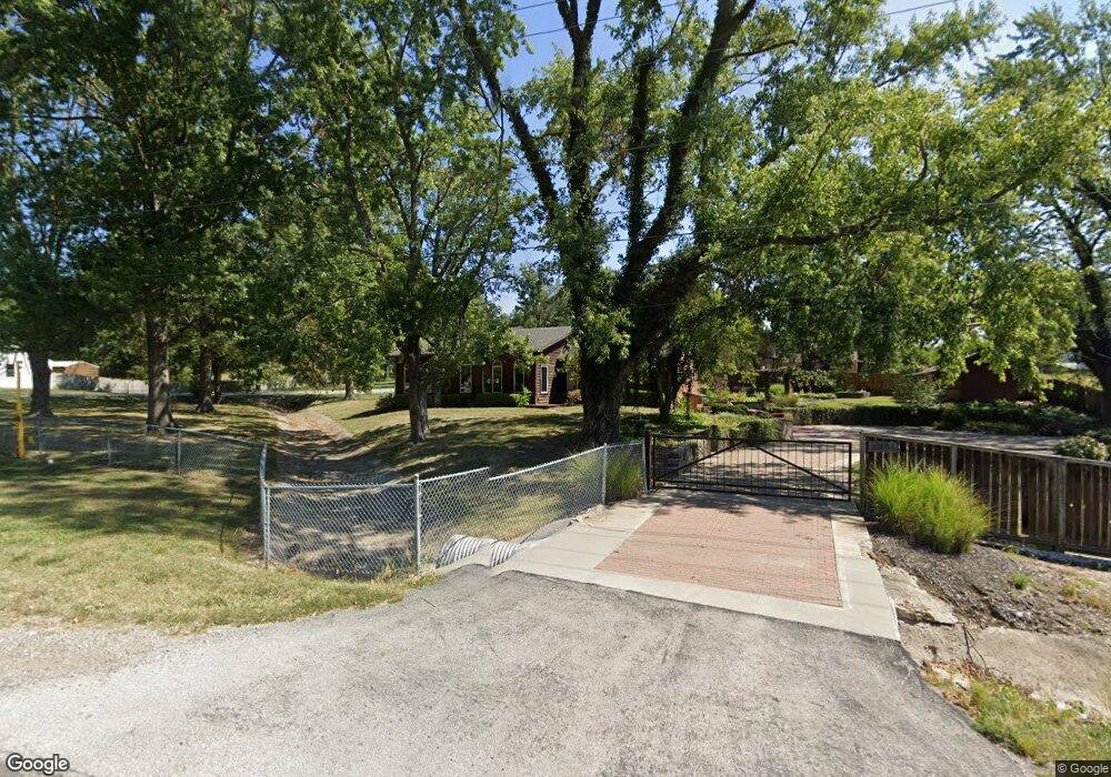
9601 Raytown Rd Kansas City, MO 64134
Highview Estates NeighborhoodEstimated Value: $234,659 - $290,000
2
Beds
1
Bath
1,748
Sq Ft
$147/Sq Ft
Est. Value
About This Home
This home is located at 9601 Raytown Rd, Kansas City, MO 64134 and is currently estimated at $256,415, approximately $146 per square foot. 9601 Raytown Rd is a home located in Jackson County with nearby schools including Truman Elementary School, St Regis School, and Islamic School of Greater Kansas City.
Ownership History
Date
Name
Owned For
Owner Type
Purchase Details
Closed on
Dec 23, 2010
Sold by
Blando Joseph A
Bought by
Spencer Linda L
Current Estimated Value
Home Financials for this Owner
Home Financials are based on the most recent Mortgage that was taken out on this home.
Original Mortgage
$107,000
Outstanding Balance
$70,549
Interest Rate
4.18%
Mortgage Type
New Conventional
Estimated Equity
$185,866
Create a Home Valuation Report for This Property
The Home Valuation Report is an in-depth analysis detailing your home's value as well as a comparison with similar homes in the area
Home Values in the Area
Average Home Value in this Area
Purchase History
| Date | Buyer | Sale Price | Title Company |
|---|---|---|---|
| Spencer Linda L | -- | First American Title |
Source: Public Records
Mortgage History
| Date | Status | Borrower | Loan Amount |
|---|---|---|---|
| Open | Spencer Linda L | $107,000 |
Source: Public Records
Tax History Compared to Growth
Tax History
| Year | Tax Paid | Tax Assessment Tax Assessment Total Assessment is a certain percentage of the fair market value that is determined by local assessors to be the total taxable value of land and additions on the property. | Land | Improvement |
|---|---|---|---|---|
| 2025 | $3,198 | $34,926 | $7,078 | $27,848 |
| 2024 | $3,140 | $36,944 | $4,919 | $32,025 |
| 2023 | $3,140 | $36,944 | $6,067 | $30,877 |
| 2022 | $2,615 | $26,410 | $7,210 | $19,200 |
| 2021 | $2,256 | $26,410 | $7,210 | $19,200 |
| 2020 | $2,088 | $23,109 | $7,210 | $15,899 |
| 2019 | $1,975 | $23,109 | $7,210 | $15,899 |
| 2018 | $1,841 | $20,112 | $6,275 | $13,837 |
| 2017 | $1,841 | $20,112 | $6,275 | $13,837 |
| 2016 | $1,848 | $19,608 | $4,412 | $15,196 |
| 2014 | $1,828 | $19,608 | $4,412 | $15,196 |
Source: Public Records
Map
Nearby Homes
- 10321 E 95th Terrace
- 10500 E Bannister Rd
- 9420 Ralston Ave
- 9721 Elm Ave
- 10907 E 98th Terrace
- 9525 Manning Ave
- 9425 E 90th Terrace
- 9033 E 90th Terrace
- 9109 E 89th St
- 9006 Tennessee Ave
- 9414 Lewis Ave
- 8700 E Bannister Terrace
- 8641 E 97th Terrace
- 9319 E 105th St
- 8925 E 89th St
- 8916 E 89th Terrace
- 9609 Ditman Way
- 9624 Ditman Way
- 8618 Arlington Ave
- 9218 Mckinley St
- 10005 E 96th St
- 9521 Raytown Rd
- 10021 E 96th St
- 10006 E 96th St
- 9612 Raytown Rd
- 10023 E 96th St
- 9611 Raytown Rd
- 9606 Raytown Rd
- 9615 Raytown Rd
- 9517 Raytown Rd
- 9524 Raytown Rd
- 9520 Raytown Rd
- 10057 E 96th St
- 9515 Raytown Rd
- 10010 E 96th St
- 9516 Raytown Rd
- 9511 Raytown Rd
- 9512 Raytown Rd
- 10012 E 96th St
- 10107 E 96th St