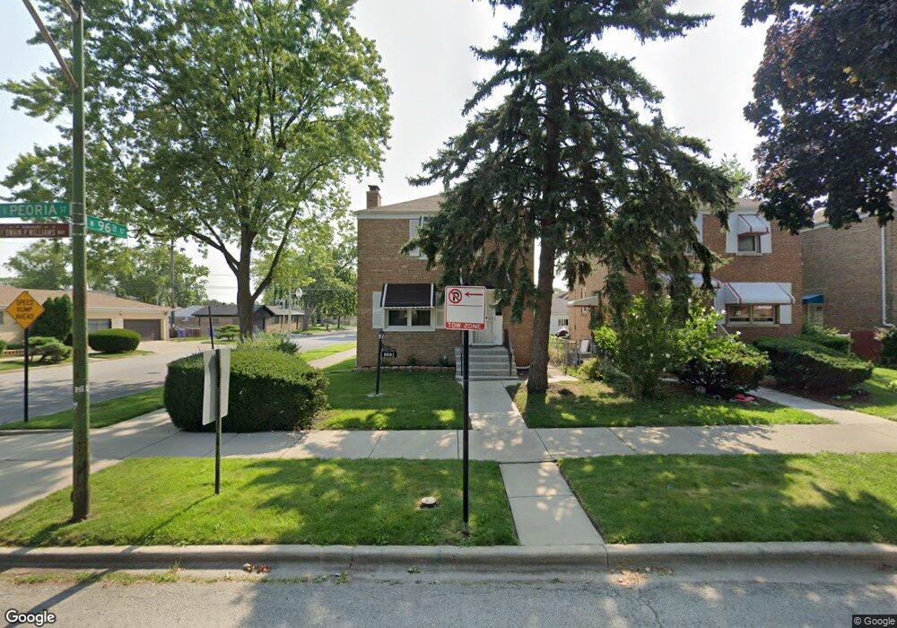
9601 S Peoria St Chicago, IL 60643
Washington Heights NeighborhoodEstimated Value: $193,983 - $247,000
4
Beds
2
Baths
1,506
Sq Ft
$150/Sq Ft
Est. Value
About This Home
This home is located at 9601 S Peoria St, Chicago, IL 60643 and is currently estimated at $225,496, approximately $149 per square foot. 9601 S Peoria St is a home located in Cook County with nearby schools including Wacker Elementary School, Harlan Community Academy High School, and CICS - Longwood Campus.
Ownership History
Date
Name
Owned For
Owner Type
Purchase Details
Closed on
Mar 25, 2011
Sold by
Edwards Milton
Bought by
Suburbank Bank & Trust Company and Trust #74-4481
Current Estimated Value
Purchase Details
Closed on
Apr 2, 1997
Sold by
Edwards Myra T
Bought by
Edwards Milton
Home Financials for this Owner
Home Financials are based on the most recent Mortgage that was taken out on this home.
Original Mortgage
$65,695
Interest Rate
7.65%
Mortgage Type
FHA
Create a Home Valuation Report for This Property
The Home Valuation Report is an in-depth analysis detailing your home's value as well as a comparison with similar homes in the area
Home Values in the Area
Average Home Value in this Area
Purchase History
| Date | Buyer | Sale Price | Title Company |
|---|---|---|---|
| Suburbank Bank & Trust Company | -- | None Available | |
| Edwards Milton | -- | -- |
Source: Public Records
Mortgage History
| Date | Status | Borrower | Loan Amount |
|---|---|---|---|
| Previous Owner | Edwards Milton | $65,695 |
Source: Public Records
Tax History Compared to Growth
Tax History
| Year | Tax Paid | Tax Assessment Tax Assessment Total Assessment is a certain percentage of the fair market value that is determined by local assessors to be the total taxable value of land and additions on the property. | Land | Improvement |
|---|---|---|---|---|
| 2024 | $1,910 | $14,206 | $3,958 | $10,248 |
| 2023 | $46 | $15,001 | $3,125 | $11,876 |
| 2022 | $46 | $15,001 | $3,125 | $11,876 |
| 2021 | $44 | $14,999 | $3,124 | $11,875 |
| 2020 | $45 | $11,181 | $3,124 | $8,057 |
| 2019 | $45 | $12,287 | $3,124 | $9,163 |
| 2018 | $44 | $12,287 | $3,124 | $9,163 |
| 2017 | $48 | $13,467 | $2,707 | $10,760 |
| 2016 | $477 | $13,467 | $2,707 | $10,760 |
| 2015 | $458 | $13,467 | $2,707 | $10,760 |
| 2014 | $454 | $12,280 | $2,499 | $9,781 |
| 2013 | $456 | $12,280 | $2,499 | $9,781 |
Source: Public Records
Map
Nearby Homes
- 9562 S Green St
- 9620 S Sangamon St
- 9515 S Peoria St
- 9720 S Emerald Ave
- 9426 S Peoria St
- 9423 S Sangamon St
- 9647 S Lowe Ave
- 9348 S Green St
- 9610 S Wallace St
- 9815 S Carpenter St
- 9741 S Lowe Ave
- 9356 S Union Ave
- 608 W 95th St
- 9318 S Peoria St
- 9919 S Peoria St
- 549 W 95th St
- 520 W 97th St
- 9430 S Parnell Ave
- 9953 S Peoria St
- 1212 W 96th St
- 9605 S Peoria St
- 9609 S Peoria St
- 9567 S Peoria St
- 9613 S Peoria St
- 9563 S Peoria St
- 9600 S Green St
- 9604 S Green St
- 9617 S Peoria St
- 9608 S Green St
- 9561 S Peoria St
- 9612 S Green St
- 9621 S Peoria St
- 9600 S Peoria St
- 9604 S Peoria St
- 9616 S Green St
- 9608 S Peoria St
- 9568 S Peoria St
- 9623 S Peoria St
- 9560 S Green St
- 9612 S Peoria St