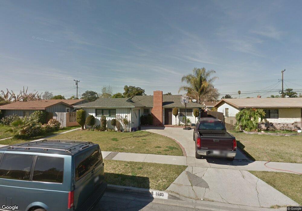
9603 Firebird Ave Whittier, CA 90605
South Whittier NeighborhoodEstimated Value: $678,146 - $741,000
2
Beds
1
Bath
950
Sq Ft
$751/Sq Ft
Est. Value
About This Home
This home is located at 9603 Firebird Ave, Whittier, CA 90605 and is currently estimated at $713,037, approximately $750 per square foot. 9603 Firebird Ave is a home located in Los Angeles County with nearby schools including Laurel Elementary School, Hillview Middle School, and Pioneer High School.
Ownership History
Date
Name
Owned For
Owner Type
Purchase Details
Closed on
Nov 30, 1998
Sold by
Mena Jesus
Bought by
Mena Jesus and Mena Evangelina
Current Estimated Value
Purchase Details
Closed on
Nov 23, 1994
Sold by
Dickason Glenn M
Bought by
Mena Jesus and Mena Evangelina
Home Financials for this Owner
Home Financials are based on the most recent Mortgage that was taken out on this home.
Original Mortgage
$148,262
Interest Rate
9.29%
Mortgage Type
FHA
Create a Home Valuation Report for This Property
The Home Valuation Report is an in-depth analysis detailing your home's value as well as a comparison with similar homes in the area
Home Values in the Area
Average Home Value in this Area
Purchase History
| Date | Buyer | Sale Price | Title Company |
|---|---|---|---|
| Mena Jesus | -- | Landsafe Title | |
| Mena Jesus | $151,000 | Continental Lawyers Title Co |
Source: Public Records
Mortgage History
| Date | Status | Borrower | Loan Amount |
|---|---|---|---|
| Previous Owner | Mena Jesus | $148,262 |
Source: Public Records
Tax History
| Year | Tax Paid | Tax Assessment Tax Assessment Total Assessment is a certain percentage of the fair market value that is determined by local assessors to be the total taxable value of land and additions on the property. | Land | Improvement |
|---|---|---|---|---|
| 2025 | $3,252 | $253,600 | $150,317 | $103,283 |
| 2024 | $3,252 | $248,628 | $147,370 | $101,258 |
| 2023 | $3,197 | $243,754 | $144,481 | $99,273 |
| 2022 | $3,127 | $238,976 | $141,649 | $97,327 |
| 2021 | $3,065 | $234,291 | $138,872 | $95,419 |
| 2019 | $3,002 | $227,344 | $134,754 | $92,590 |
| 2018 | $2,877 | $222,887 | $132,112 | $90,775 |
| 2016 | $2,721 | $214,234 | $126,983 | $87,251 |
| 2015 | $2,701 | $211,017 | $125,076 | $85,941 |
| 2014 | $2,668 | $206,884 | $122,626 | $84,258 |
Source: Public Records
Map
Nearby Homes
- 9563 Greening Ave
- 9551 Barkerville Ave
- 9344 Firebird Ave
- 13414 Reis St
- 13561 Close St
- 9308 Tarryton Ave
- 13814 Mystic St
- 13856 Mulberry Dr
- 10202 Mina Ave
- 13448 Dunton Dr
- 13649 Lanning Dr
- 9834 Ahmann Ave
- 14056 Hawes St
- 13924 Anola St
- 13838 Cornishcrest Rd
- 10035 Ben Hur Ave
- 9134 Greenleaf Ave
- 12918 Shreve Rd
- 13751 Bentongrove Dr
- 14030 Dicky St
- 9549 Firebird Ave
- 9611 Firebird Ave
- 9550 Greening Ave
- 9544 Greening Ave
- 9558 Greening Ave
- 9543 Firebird Ave
- 9617 Firebird Ave
- 9538 Greening Ave
- 9602 Firebird Ave
- 9610 Firebird Ave
- 9564 Greening Ave
- 9544 Firebird Ave
- 9537 Firebird Ave
- 9625 Firebird Ave
- 9618 Firebird Ave
- 9532 Greening Ave
- 9538 Firebird Ave
- 9604 Greening Ave
- 9531 Firebird Ave
- 9623 Tarryton Ave
Your Personal Tour Guide
Ask me questions while you tour the home.