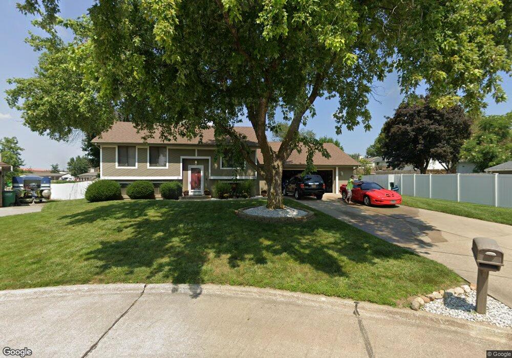
9605 Palm Cir Urbandale, IA 50322
Estimated Value: $283,000 - $340,000
--
Bed
2
Baths
930
Sq Ft
$342/Sq Ft
Est. Value
About This Home
This home is located at 9605 Palm Cir, Urbandale, IA 50322 and is currently estimated at $318,038, approximately $341 per square foot. 9605 Palm Cir is a home located in Polk County with nearby schools including Valerius Elementary School, Urbandale Middle School, and Urbandale High School.
Ownership History
Date
Name
Owned For
Owner Type
Purchase Details
Closed on
Mar 6, 1997
Sold by
Evans Melton J and Evans Karen B
Bought by
Hotovec Peter W and Hotovec Anne M
Current Estimated Value
Home Financials for this Owner
Home Financials are based on the most recent Mortgage that was taken out on this home.
Original Mortgage
$107,500
Outstanding Balance
$12,560
Interest Rate
7.93%
Estimated Equity
$305,478
Create a Home Valuation Report for This Property
The Home Valuation Report is an in-depth analysis detailing your home's value as well as a comparison with similar homes in the area
Home Values in the Area
Average Home Value in this Area
Purchase History
| Date | Buyer | Sale Price | Title Company |
|---|---|---|---|
| Hotovec Peter W | $113,000 | -- |
Source: Public Records
Mortgage History
| Date | Status | Borrower | Loan Amount |
|---|---|---|---|
| Open | Hotovec Peter W | $107,500 |
Source: Public Records
Tax History Compared to Growth
Tax History
| Year | Tax Paid | Tax Assessment Tax Assessment Total Assessment is a certain percentage of the fair market value that is determined by local assessors to be the total taxable value of land and additions on the property. | Land | Improvement |
|---|---|---|---|---|
| 2025 | $4,954 | $305,100 | $102,300 | $202,800 |
| 2024 | $4,954 | $284,000 | $94,200 | $189,800 |
| 2023 | $4,744 | $284,000 | $94,200 | $189,800 |
| 2022 | $4,688 | $230,000 | $79,000 | $151,000 |
| 2021 | $4,672 | $230,000 | $79,000 | $151,000 |
| 2020 | $4,588 | $217,700 | $74,500 | $143,200 |
| 2019 | $4,104 | $217,700 | $74,500 | $143,200 |
| 2018 | $3,950 | $187,000 | $63,000 | $124,000 |
| 2017 | $3,600 | $187,000 | $63,000 | $124,000 |
| 2016 | $3,508 | $168,200 | $56,000 | $112,200 |
| 2015 | $3,508 | $168,200 | $56,000 | $112,200 |
| 2014 | $3,446 | $170,500 | $56,100 | $114,400 |
Source: Public Records
Map
Nearby Homes
- 3320 Patricia Dr
- Lot 1 Hillsdale Dr
- 3805 Melanie Cir
- 3808 Mary Lynn Dr
- 3913 Horton Trail
- 3889 92nd Dr
- 4517 90th St
- 4505 90th St
- 4500 90th St
- 3916 Greenview Dr
- 4016 Patricia Dr
- 37 89th St
- 3957 92nd Dr
- 1630 Parkside Ln
- 1600 Parkside Ln
- 1590 Parkside Ln
- 1550 Parkside Ln
- 8 Quail Ridge
- 7 Quail Ridge
- 6 Quail Ridge
- 3416 Patricia Dr
- 9601 Palm Cir
- 3420 Patricia Dr
- 9612 Palm Cir
- 9604 Palm Cir
- 3424 Patricia Dr
- 3404 Patricia Dr
- 3321 111th St Unit 308
- 3321 111th St Unit 307
- 3321 111th St Unit 302-305
- 3321 111th St
- 3321 111th St Unit 1
- 3321 111th St Unit 9
- 3321 111th St Unit 10
- 3417 Patricia Dr
- 3413 Patricia Dr
- 3421 Patricia Dr
- 3409 Patricia Dr
- 3400 Patricia Dr
- 3501 Patricia Dr